10. SAIGOTS

 Back
Back 

Route data
Zubiri
Zubiri

Distance
10.8 Km
Circular route

Difficulty
Medium

Max. elevation
310 m.

Max. elevation
310 m.
Weather forecast
Zubiri
 21°C
21°CReal feel 21°
overcast clouds
-
Tue
22/09
24° /16°
 47%
47%
-
Wed
23/09
25° /16°
41%
-
Thu
24/09
31° /20°
23%
Enjoy a scenic route that combines nature and culture, with historic trails and breathtaking views, ideal for hiking enthusiasts.
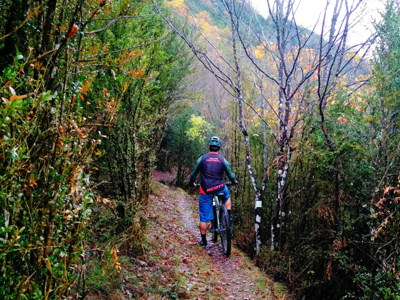
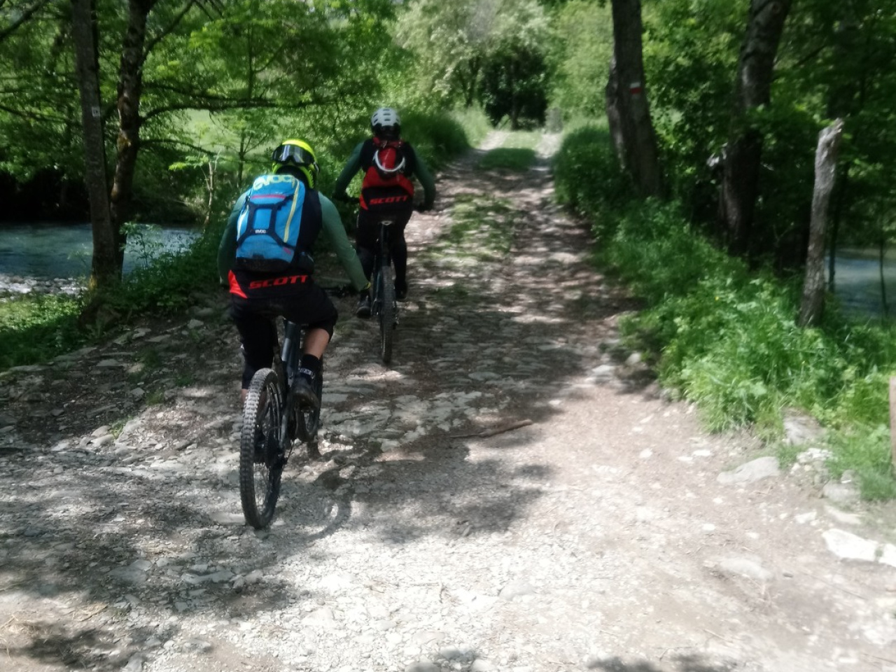
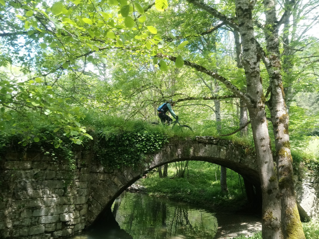
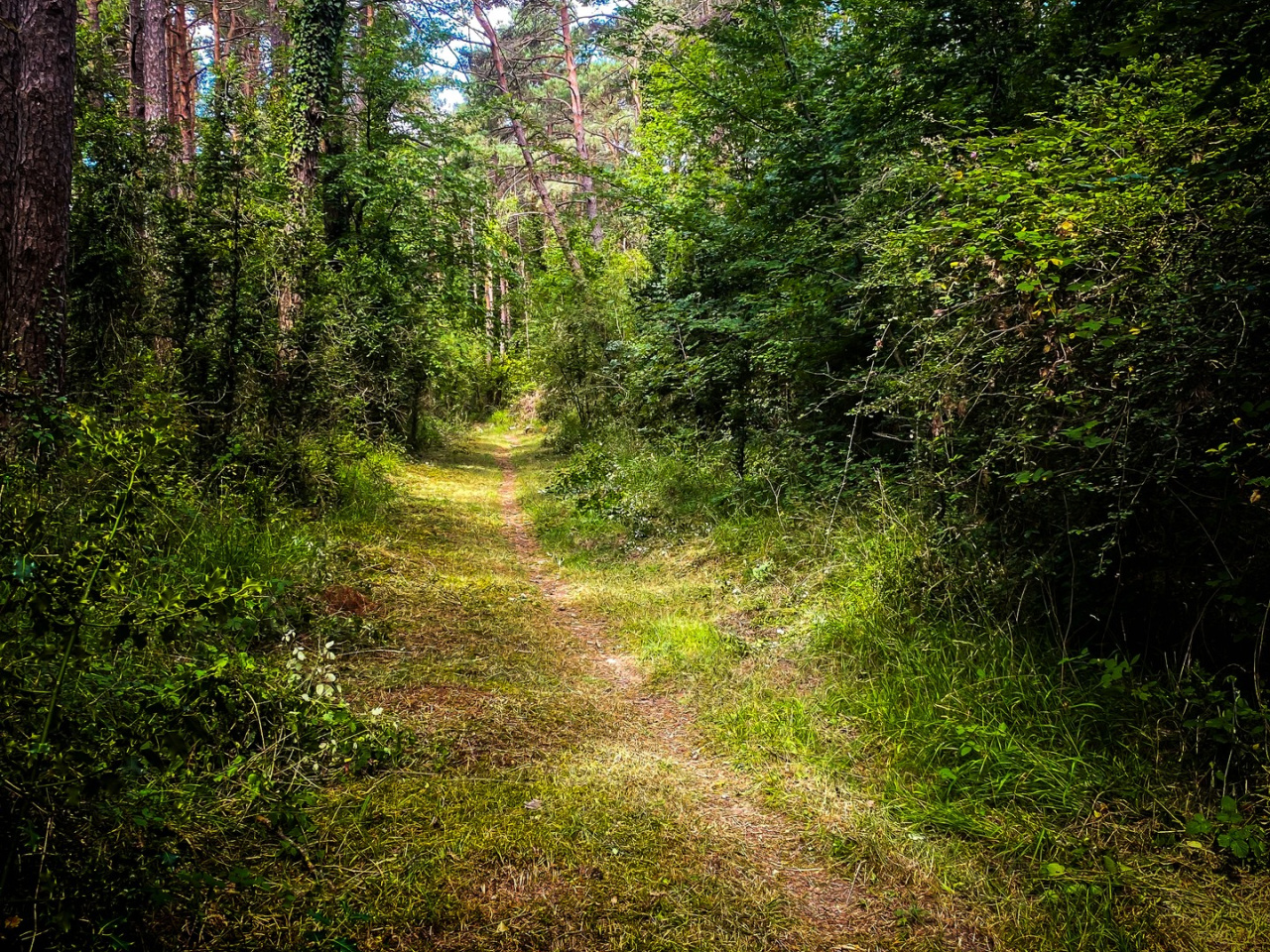
The route starts at the MTB and Trail Centre in Zubiri and leaves the village via the bridge over the Arga River. It climbs parallel to the Camino de Santiago towards Alto de Erro. After crossing the road at the pass (caution), the trail heads toward the Zilbeti pass, where the descent follows route 09.Azegi-Etxarro-Saigots. This section shares the trail with the GR-225 and requires extreme caution to avoid accidents with hikers. Upon reaching the trail parallel to the Arga River, the route crosses the bridge to find the climb to Saigots. From there, the NA-138 road leads back to Zubiri.
Weather forecast
Zubiri
21°CReal feel 21°C
overcast clouds
-
Tue
22/0924° /16°
47%
-
Wed
23/0925° /16°
41%
-
Thu
24/0931° /20°
23%