11. THE MOUTH

 Back
Back 

Route data
Urzainki
Urzainki

Distance
15 Km
Circular route

Difficulty
Medium

Max. elevation
680 m.

Max. elevation
680 m.
Weather forecast
Urzainqui
 17°C
17°CReal feel 16°
scattered clouds
-
Tue
22/09
19° /13°
 50%
50%
-
Wed
23/0925° /15°
36%
-
Thu
24/09
27° /17°
26%
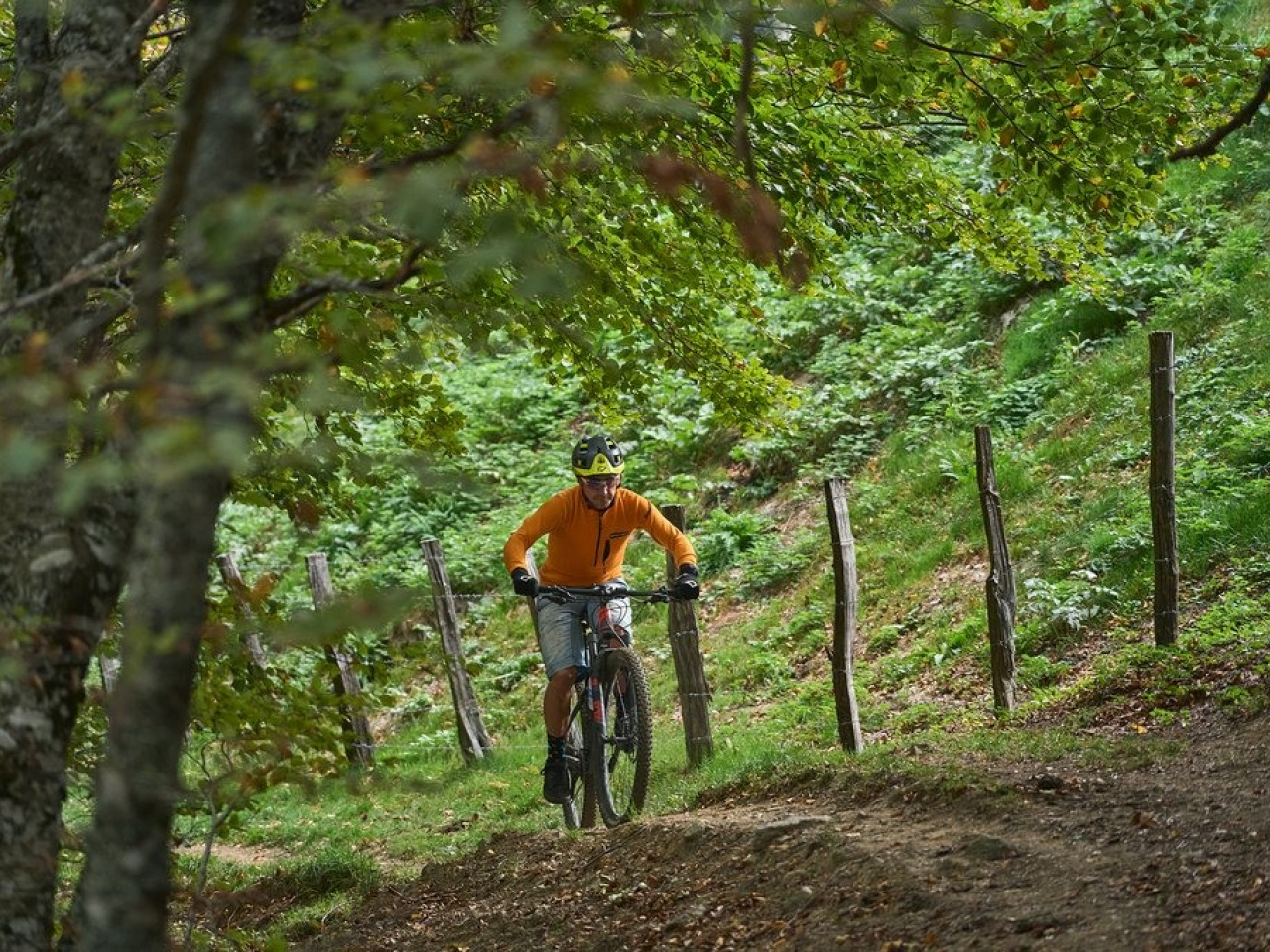
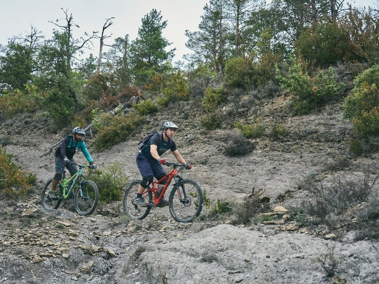
The route offers an exciting 5 km descent with breathtaking scenery and technical challenges, ideal for hiking and adventure enthusiasts.
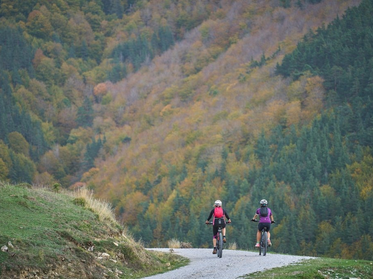
The Santa Bárbara and San Miguel mountains border the Urzainqui district to the west and form the ridgeline between the Esca and Biniés river valleys. The route climbs to the summit of San Miguel along the Santa Bárbara track and then descends the narrow La Boca path, a 5 km descent with technical sections and a steep gradient. The first 1.5 km follow the Roncal road, followed by a nearly 700 m climb with few breaks along the Santa Bárbara dirt-track. After several kilometres of panoramic views, the descent begins down the northern flank of San Miguel. As you round the Landa, the route leaves the pastures and we begin the La Boca descent, which ends at the Salvador chapel.
Weather forecast
Urzainqui
17°CReal feel 16°C
scattered clouds
-
Tue
22/0919° /13°
50%
-
Wed
23/0925° /15°
36%
-
Thu
24/0927° /17°
26%