12. EUGI - ZUBIRI

 Back
Back 

Route data
Eugi
Zubiri

Distance
7.5 Km
Lineal route

Difficulty
Easy

Max. elevation
185 m.

Max. elevation
300 m.
Weather forecast
Urtasun
 21°C
21°CReal feel 21°
overcast clouds
-
Tue
22/09
22° /14°
 46%
46%
-
Wed
23/09
25° /16°
43%
-
Thu
24/09
31° /20°
24%
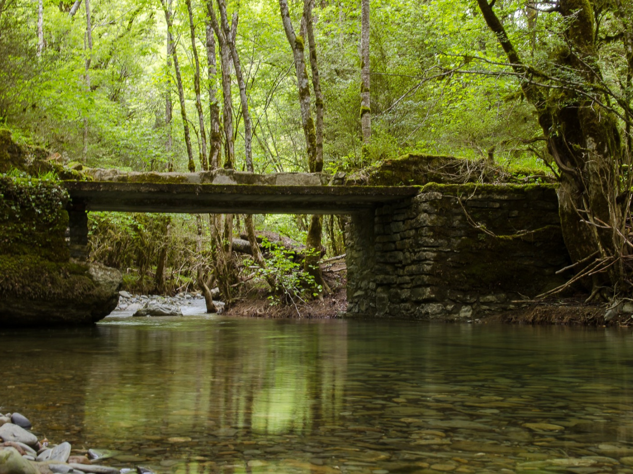
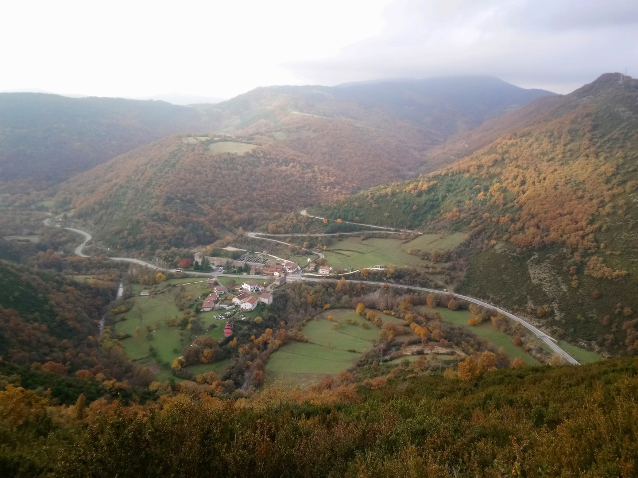
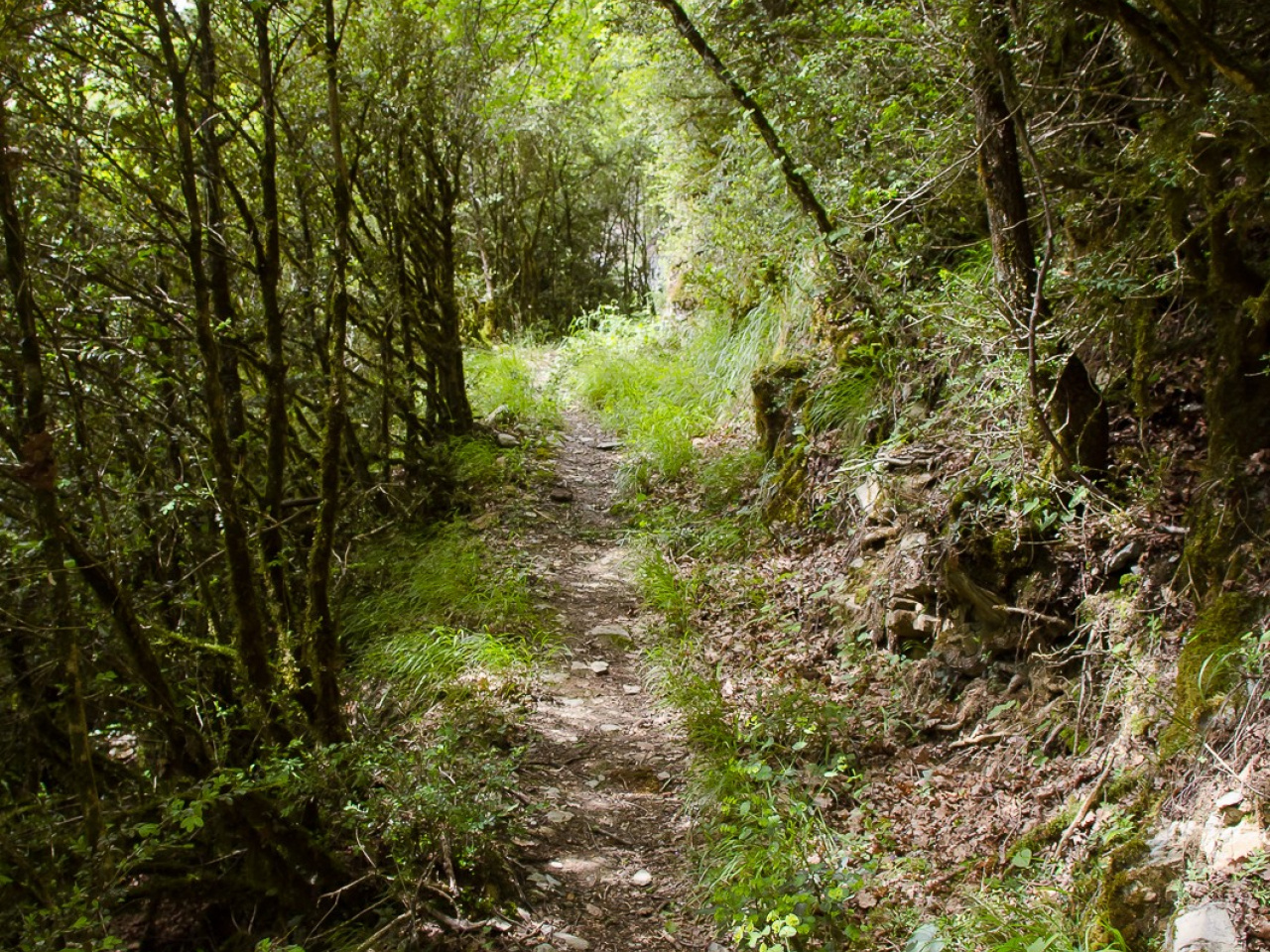
A 7.5 km scenic route connecting two villages, ideal for hiking and cycling, with forests, a medieval bridge and breathtaking views.
This two-way route links the villages of Eugi and Zubiri via a series of trails running parallel to the River Arga. Over 7.5 kilometres, the path crosses forest, the Etxarro stream and the medieval bridge of Saigots. Leaving the village of Eugi, the route offers two options: a cycling trail that begins on the road and passes the Urtasun cemetery, and another that departs from Ospel Street toward the Azegi (Zokolu) foothills. Both trails merge 500 metres before the medieval bridge of Urtasun, continuing as a single path suitable for both cycling and hiking.
Weather forecast
Urtasun
21°CReal feel 21°C
overcast clouds
-
Tue
22/0922° /14°
46%
-
Wed
23/0925° /16°
43%
-
Thu
24/0931° /20°
24%