12. LUNO POINT

 Back
Back 

Route data
Uztárroz / Uztarroze
Uztárroz / Uztarroze

Distance
20.2 Km
Circular route

Difficulty
Medium

Max. elevation
580 m.

Max. elevation
580 m.
Weather forecast
Urzainqui
 15°C
15°CReal feel 14°
broken clouds
-
Tue
22/09
18° /11°
 55%
55%
-
Wed
23/0923° /15°
41%
-
Thu
24/09
26° /18°
34%
A scenic route with accessible trails and beautiful views, ideal for enjoying nature and tranquillity in a mountainous setting.
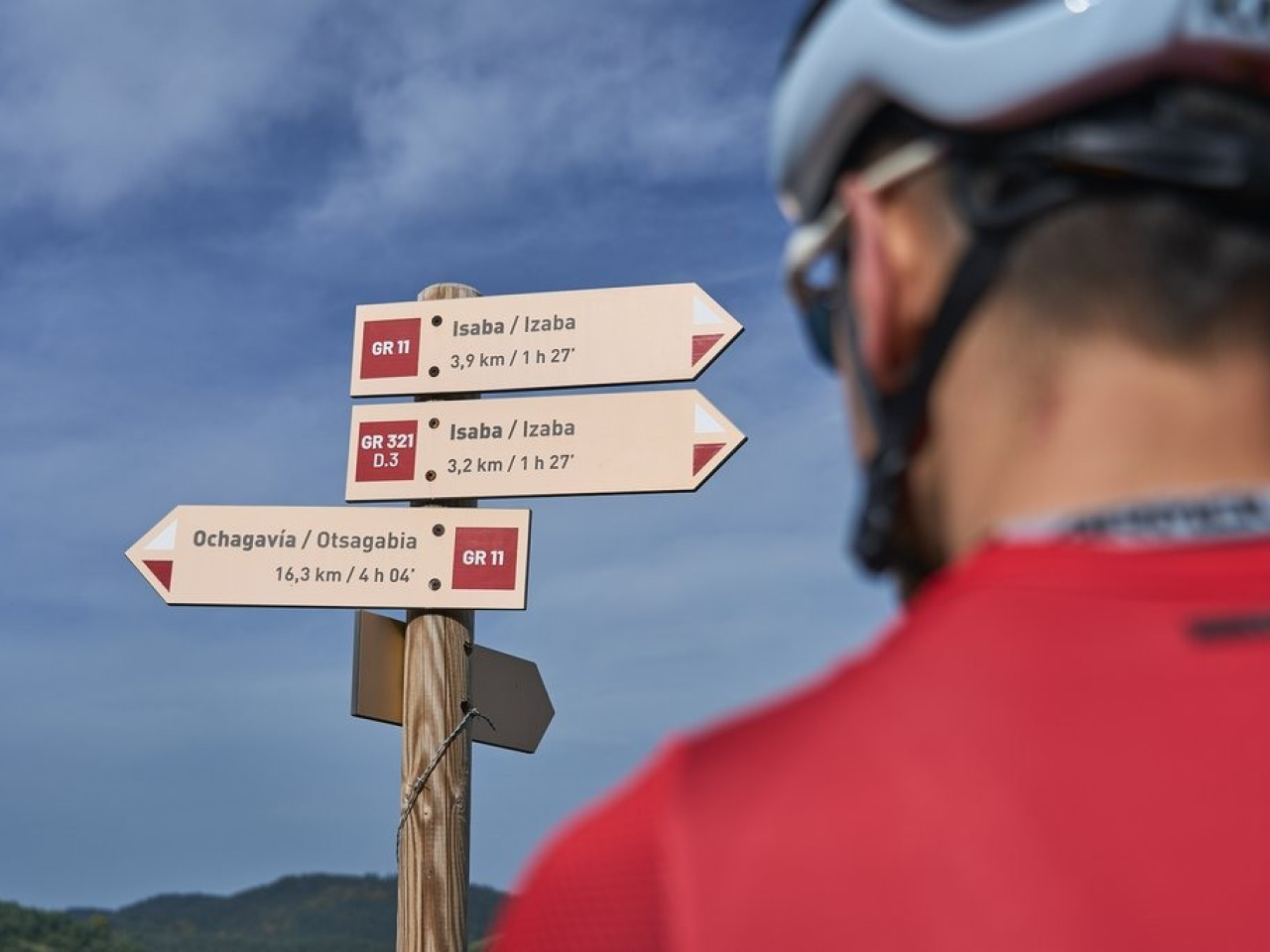
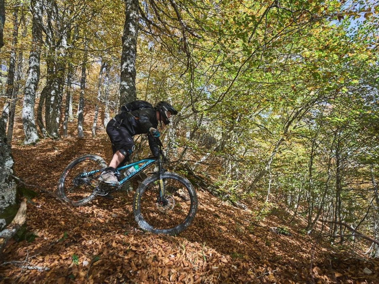
This route offers spectacular panoramic views and features a high percentage of single-track, both uphill and downhill. The low technical difficulty of the trails and the steep gradient, higher than that of the Txoromilo trail, place the route closer to XC than enduro. From Uztarroz, the route begins on the Isaba road and then takes the dirt-track that climbs up the Amuku ravine. An increasingly narrow forest road continues to climb until it becomes a trail, which then joins the GR 11 in Milingrate. After a section shared with the GR, the route turns onto the Astegia trail through meadows to Punta Luno. From there, a quick descent through the forest leads back to Uztarroz.
Weather forecast
Urzainqui
15°CReal feel 14°C
broken clouds
-
Tue
22/0918° /11°
55%
-
Wed
23/0923° /15°
41%
-
Thu
24/0926° /18°
34%