14. Urkiaga Eugi

 Back
Back 

Route data
Puerto de Urkiaga / Urkiagako Lepoa
Eugi

Distance
19.4 Km
Lineal route

Difficulty
Medium

Max. elevation
400 m.

Max. elevation
670 m.
Weather forecast
Urtasun
 18°C
18°CReal feel 18°
broken clouds
-
Tue
22/09
21° /13°
 47%
47%
-
Wed
23/09
22° /13°
45%
-
Thu
24/09
27° /18°
32%
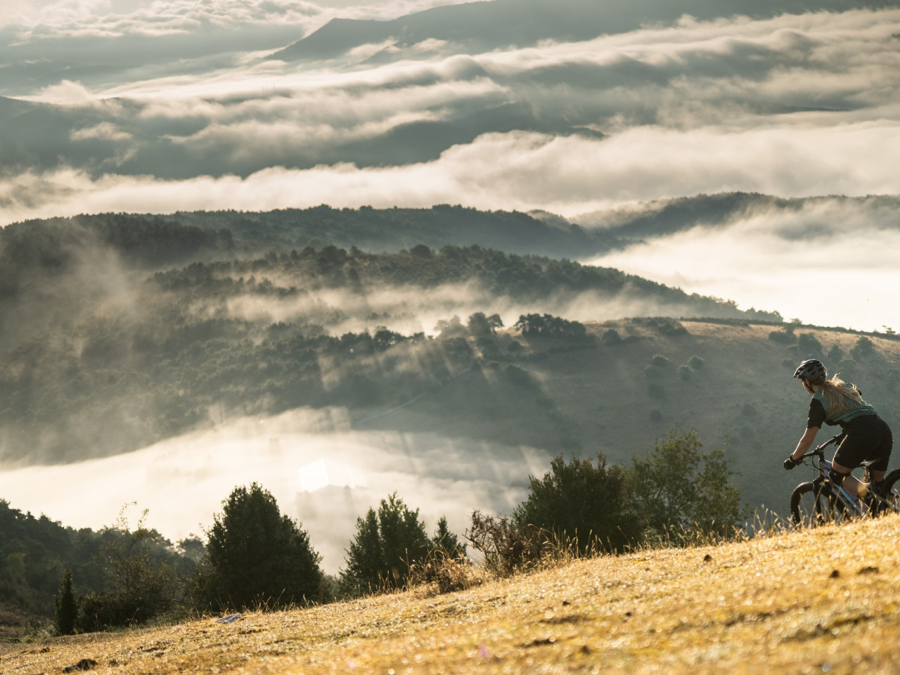
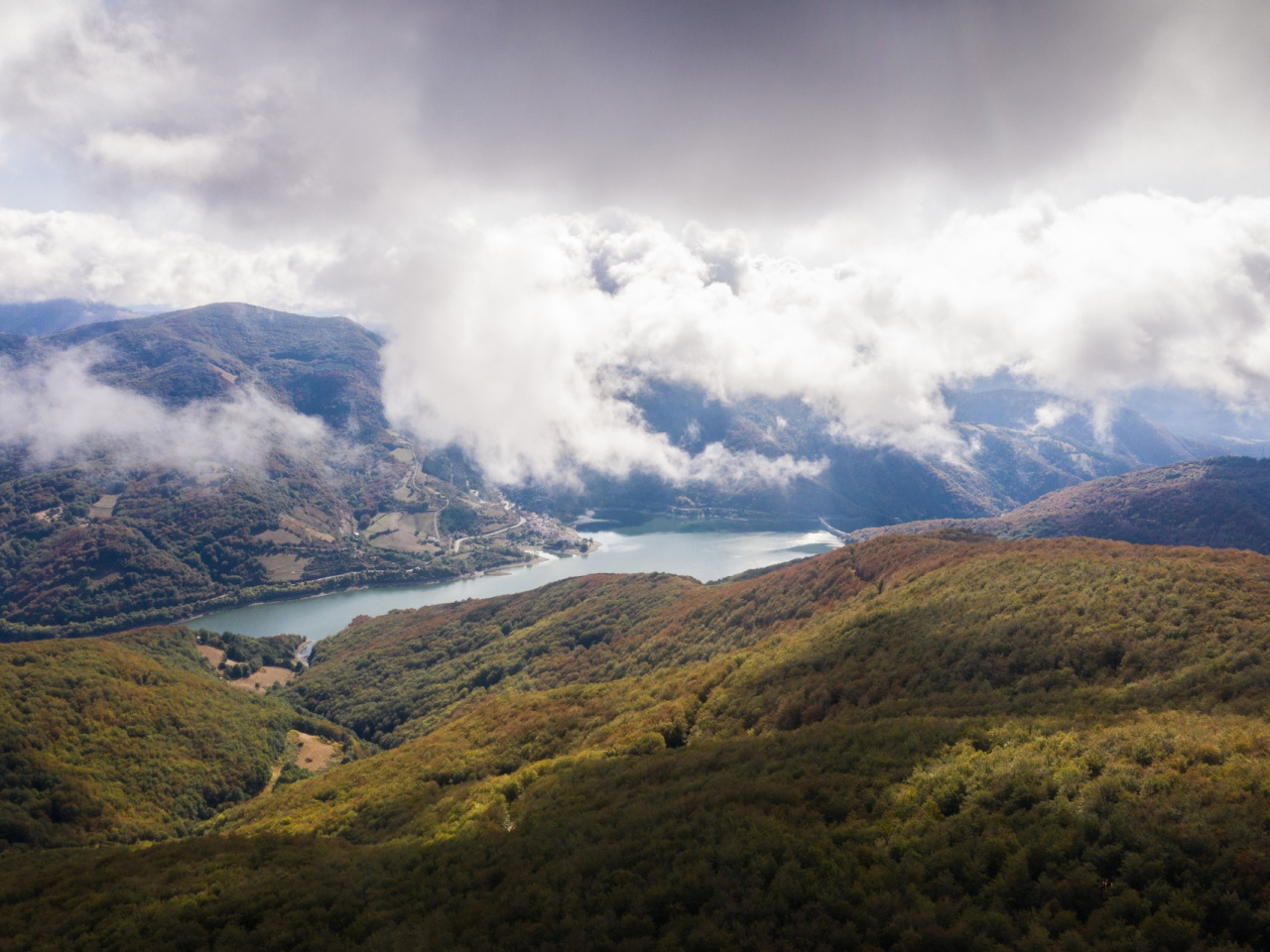
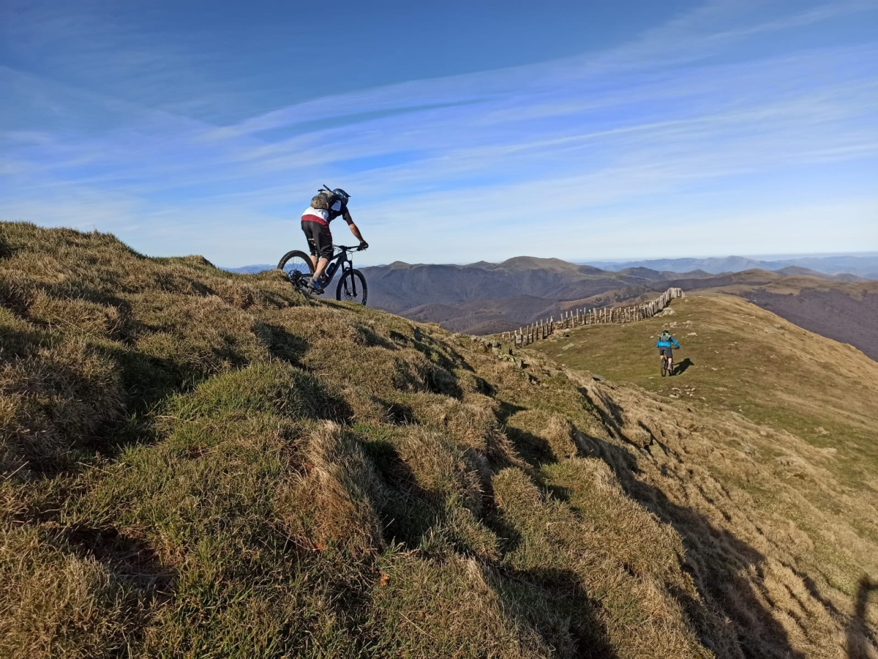
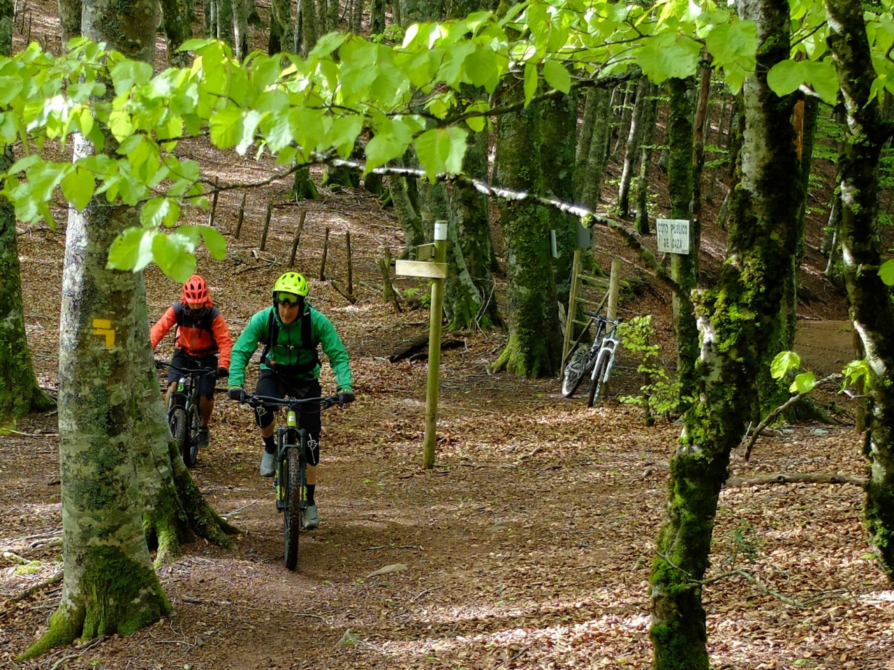
A scenic route connecting beech forests and mountains, ideal for hikers and cyclists, culminating in the charming village of Eugi.
The route begins at the Urkiaga pass, arriving from Banca via Alduides and Urepel. It follows the GR-11 and GR-12 to the Esnezalaieta junction. From there, the path continues south until it splits into mountain bike and hiking variants. The mountain bike route skirts Zotalar' western flank before descending an easy track to the village of Eugi. The hiking route continues south, skirting the eastern side of Zotalar through a beautiful forest to the Gurutxaga pass. From here, the path descends directly to the village of Eugi.
Weather forecast
Urtasun
18°CReal feel 18°C
broken clouds
-
Tue
22/0921° /13°
47%
-
Wed
23/0922° /13°
45%
-
Thu
24/0927° /18°
32%