16. ZARZAKULEA

 Back
Back 

Route data
Izaba / Isaba
Izaba / Isaba

Distance
29.8 Km
Circular route

Difficulty
Difficult

Max. elevation
930 m.

Max. elevation
930 m.
Weather forecast
Urzainqui/Urzainki
 16°C
16°CReal feel 16°
scattered clouds
-
Tue
22/09
19° /13°
 57%
57%
-
Wed
23/0925° /17°
43%
-
Thu
24/09
28° /20°
37%
A challenging route with spectacular views, crossing a hidden valley. Ideal for adventurers seeking nature and history in a unique setting.
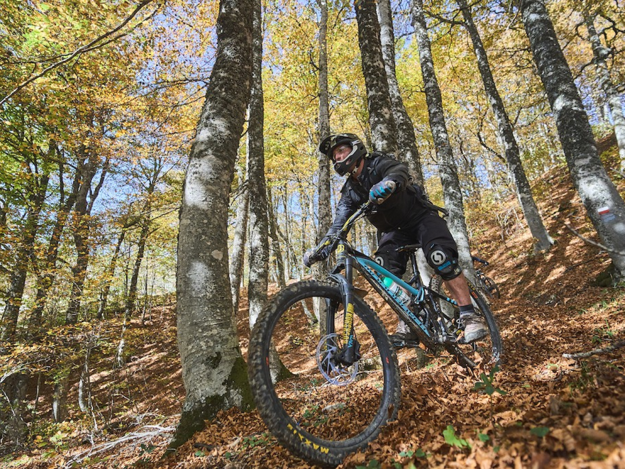
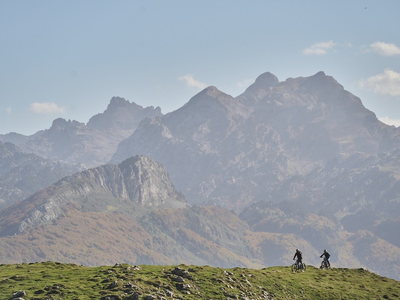
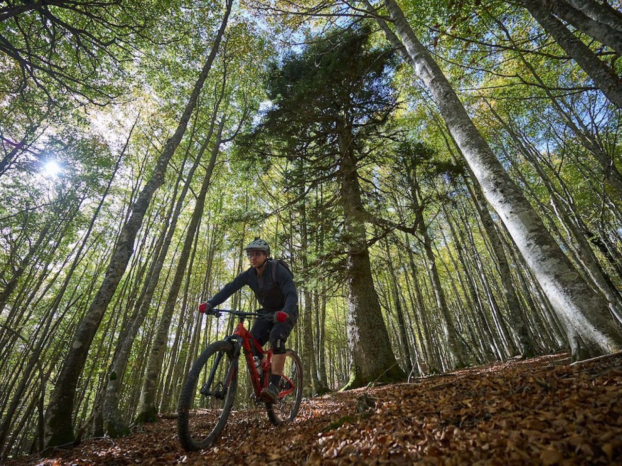
This high-difficulty route features steep, continuous slopes, roots, rocks, and several exposed sections. The Lapatia pass offers an easier alternative descent, the Lapatia descent, though hikers frequent this path more often. The long, 16 km ascent to the pass runs through the idyllic and little-known Mintxate valley. The summit offers unbeatable views of the Pyrenees. The descent trail crosses pastures for approximately 4 km until it reaches the Belagua road. The return to the village of Isaba follows a path parallel to the road, occasionally joining the road itself, and passes the Ibón cave and the Roman bridge.
Weather forecast
Urzainqui/Urzainki
16°CReal feel 16°C
scattered clouds
-
Tue
22/0919° /13°
57%
-
Wed
23/0925° /17°
43%
-
Thu
24/0928° /20°
37%