17. Olloki - Lakarri

 Back
Back 

Route data
Olloki
Olloki

Distance
20.8 Km
Lineal route

Difficulty
Medium

Max. elevation
550 m.

Max. elevation
550 m.
Weather forecast
Elkano
 20°C
20°CReal feel 19°
overcast clouds
-
Tue
22/09
25° /17°
 40%
40%
-
Wed
23/09
28° /17°
30%
-
Thu
24/09
31° /19°
22%
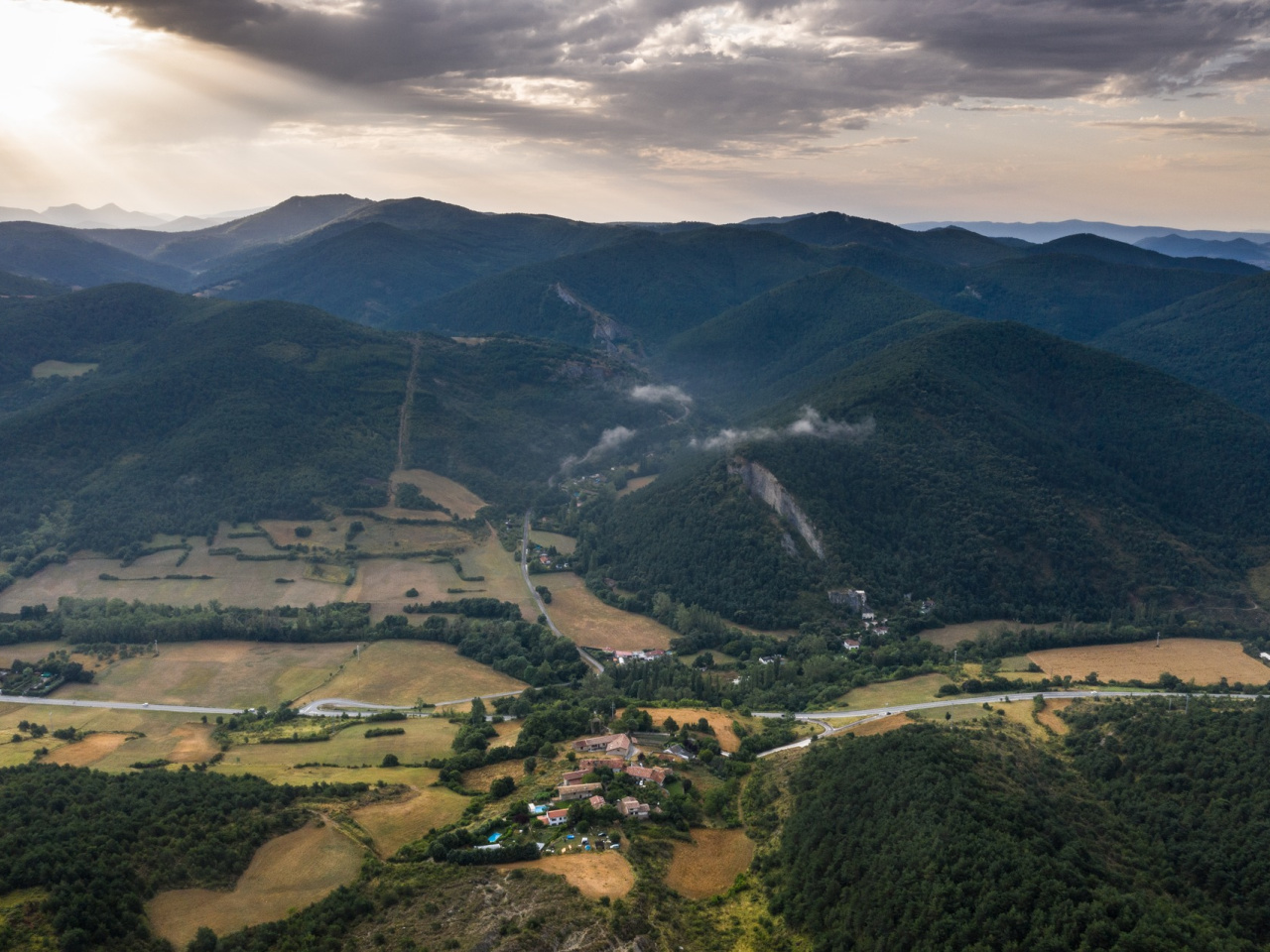
A mountainous route connecting a picturesque village with the highest peak in the region, offering spectacular views and a unique natural environment.
This mountain route links the village of Olloki with Lakarri, the highest mountain in the area. It is the first peak to exceed 1,000 metres in altitude in the northern part of the Pamplona Basin. The route begins in the upper part of the village of Olloki near the church. It climbs towards Mount San Miguel along the track from Olloki to Alzuza. Once in the upper part of the mountain range, the route continues along the track toward the antennas above Irotz. From there, it follows the track across the ridgeline that separates the Esteribar and Egues valleys. At the Belzunegui rock, a path leads to the summit of Lakarri (1,046 m). The return journey follows the same route.
Weather forecast
Elkano
20°CReal feel 19°C
overcast clouds
-
Tue
22/0925° /17°
40%
-
Wed
23/0928° /17°
30%
-
Thu
24/0931° /19°
22%