18. Antxoritz Rocks

 Back
Back 

Route data
Merendero de Zabaldika / Zabaldikako atsedengunea
Merendero de Zabaldika / Zabaldikako atsedengunea

Distance
7.8 Km
Circular route

Difficulty
Easy

Max. elevation
490 m.

Max. elevation
490 m.
Weather forecast
Sorauren
 21°C
21°CReal feel 20°
overcast clouds
-
Tue
22/09
25° /17°
 39%
39%
-
Wed
23/09
27° /17°
30%
-
Thu
24/09
31° /19°
23%
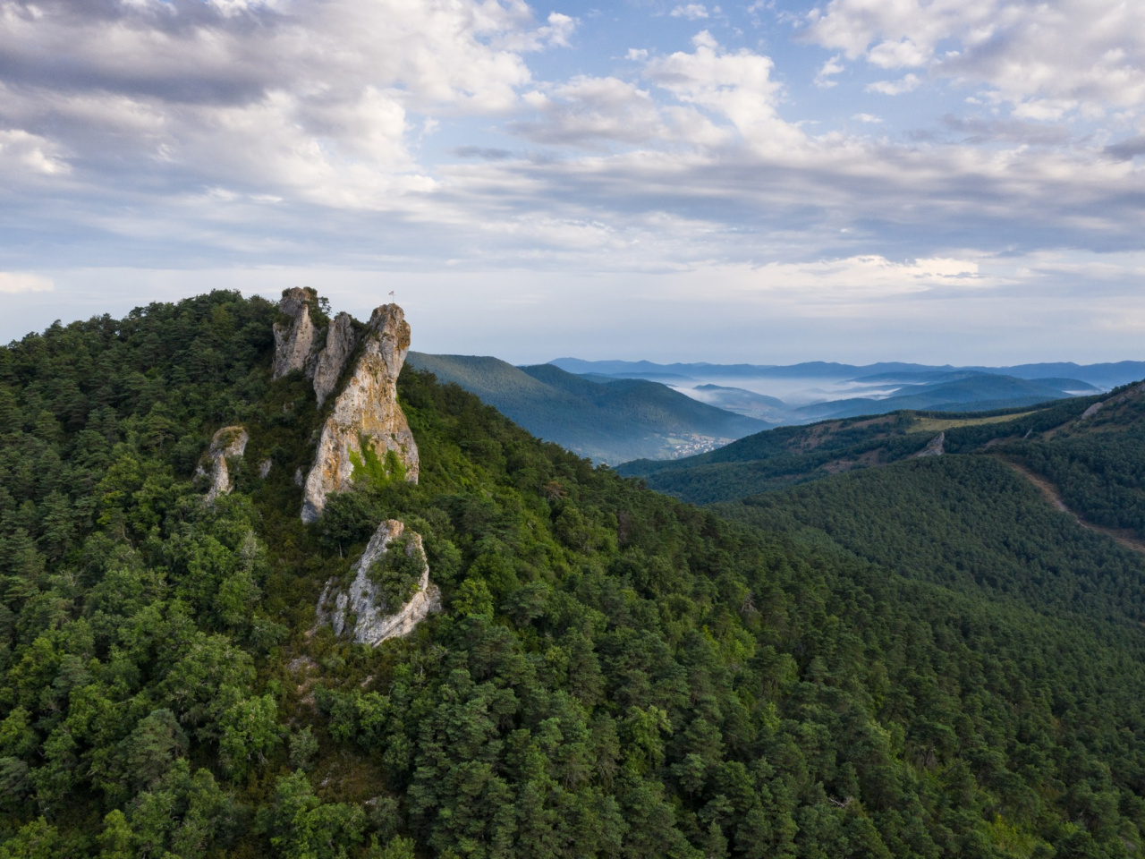
Challenging climb with breathtaking views, thrilling scrambling and picturesque trails in a unique natural setting, ideal for adventurers.
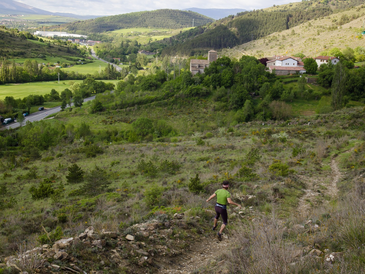
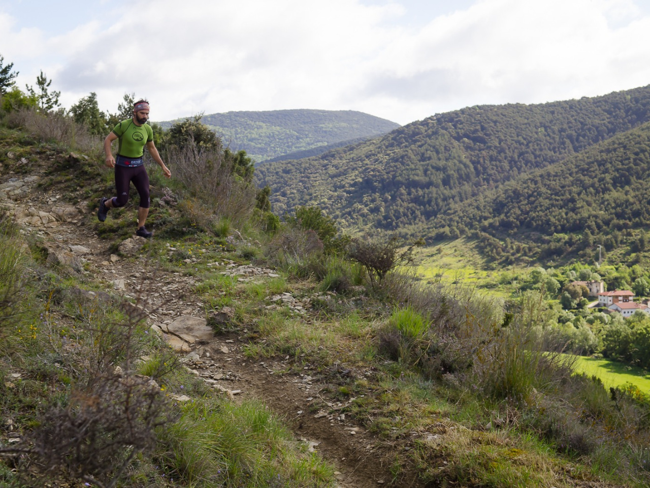
The route starts at the Zabaldika picnic area and climbs through the Xaixulo area towards Alto de Elordi. From this hill, it descends towards Collado de Zabalgain and continues along the northern ridge, passing through Arromendi to reach Peñas de Antxoritz. The rocky section involves a grade II climb, requiring the appropriate physical and technical ability. The return follows the same route to a junction where a path enters a beautiful pine forest. This trail runs along the Cara-Irotz hillside before descending to cross the Ezpeldi stream near the village of Zabaldika. From there, a path running alongside the village returns to the Zabaldika picnic area.
Weather forecast
Sorauren
21°CReal feel 20°C
overcast clouds
-
Tue
22/0925° /17°
39%
-
Wed
23/0927° /17°
30%
-
Thu
24/0931° /19°
23%