20. ARDAITZ - LAKE

 Back
Back 

Route data
ARDAITZ
AINTZIOA

Distance
6 Km
Lineal route

Difficulty
Very easy

Max. elevation
200 m.

Max. elevation
450 m.
Weather forecast
Zubiri
 19°C
19°CReal feel 19°
overcast clouds
-
Tue
22/09
23° /15°
 45%
45%
-
Wed
23/09
24° /15°
39%
-
Thu
24/09
29° /19°
23%
A unique destination with medieval history, ancient wells and breathtaking views, ideal for lovers of nature and culture.
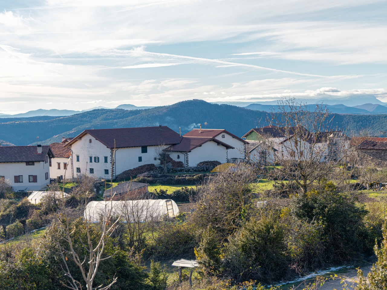
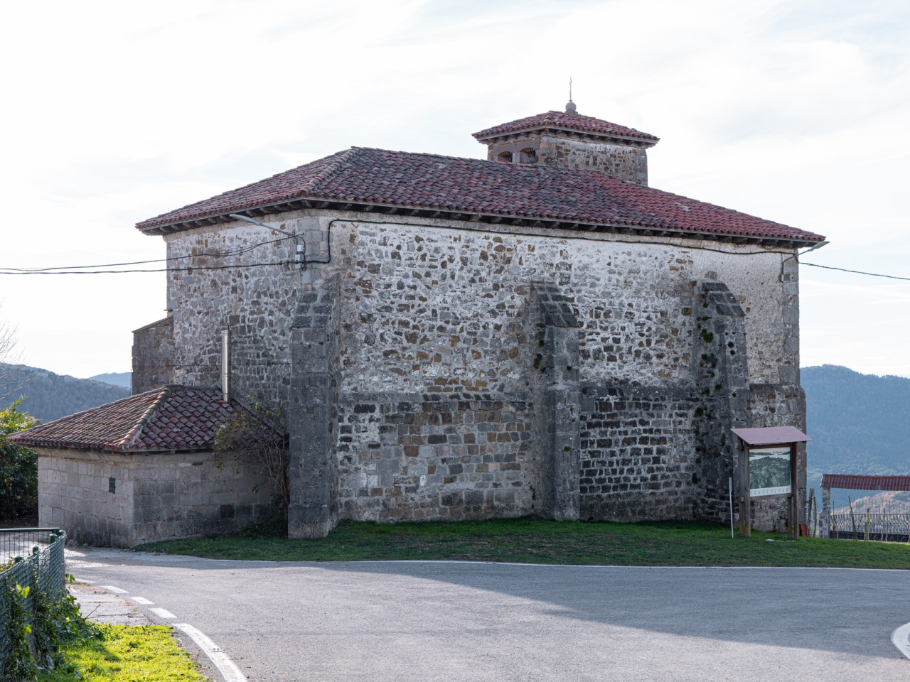
Ardaitz, the southernmost village, sits in the heart of the Labia ridgeline. Medieval remains characterize the house doorways, and the village features water wells and a 13th-century covered fountain. The church and baptismal font also date to the 13th century, with additions from the 16th and 17th centuries. The route runs through the Ogal countryside, crossing livestock pastures and following the edge of Larrogain mountain to Aintzioa via trail 4, the Larrogain loop. Aintzioa stands on the Labia ridgeline as the highest village in the valley (1,008 metres). A large cliff next to the village offers views of the valley.
Weather forecast
Zubiri
19°CReal feel 19°C
overcast clouds
-
Tue
22/0923° /15°
45%
-
Wed
23/0924° /15°
39%
-
Thu
24/0929° /19°
23%