26. AURIZBERRI / ESPINAL - MEZKIRITZ

 Back
Back 

Route data
Aurizberri / Espinal
Mezkiritz

Distance
2.9 Km
Lineal route

Difficulty
Very easy

Max. elevation
160 m.

Max. elevation
70 m.
Weather forecast
Garralda
 17°C
17°CReal feel 16°
overcast clouds
-
Tue
22/09
20° /13°
 48%
48%
-
Wed
23/09
22° /13°
43%
-
Thu
24/09
27° /18°
30%
This charming destination stands out for its meticulous architecture, a unique museum and local competitions, ideal for lovers of culture and nature.
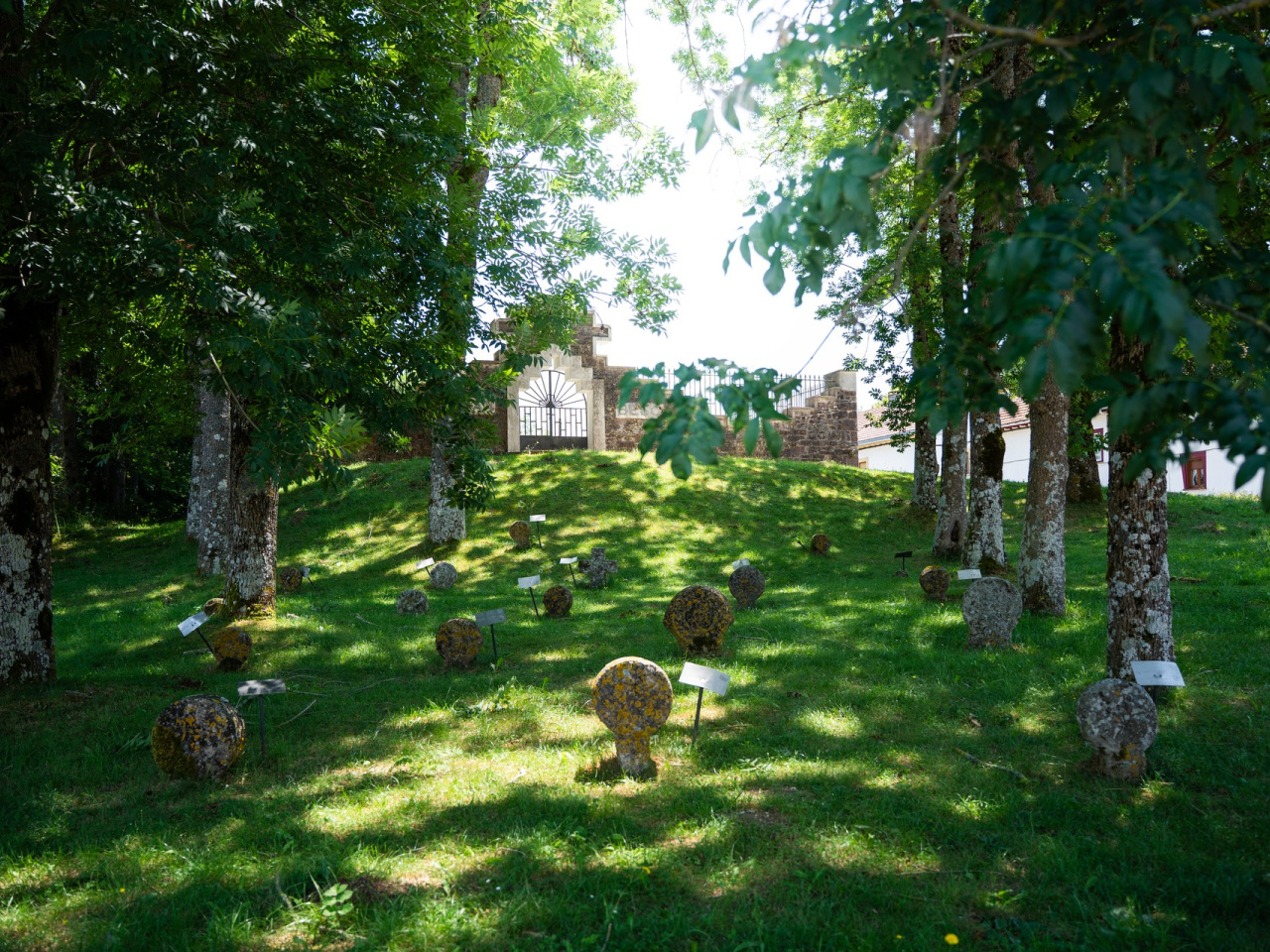
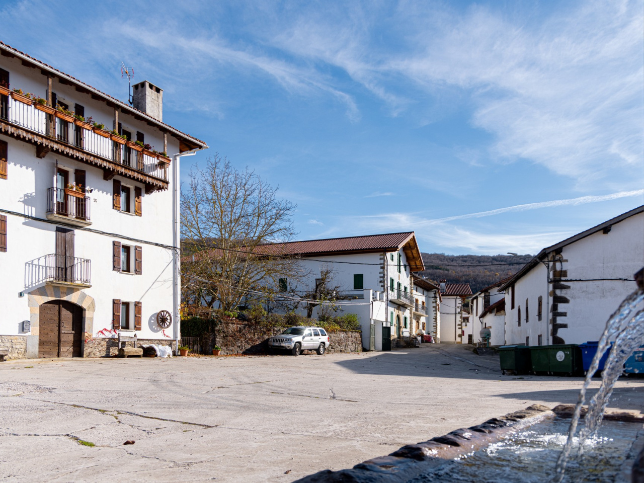
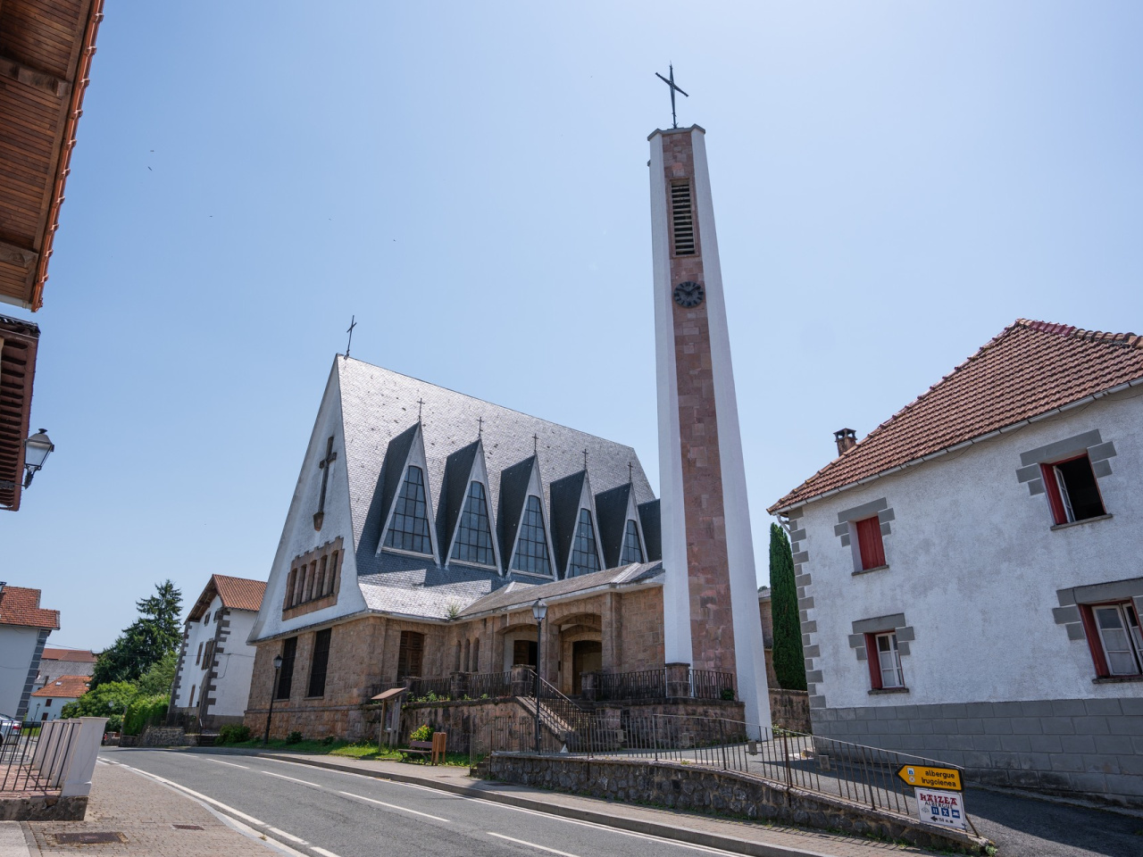
Founded in 1269 by Theobald II between the boroughs of Roncesvalles and Gerendiain, Aurizberri/Espinal sits on a vast plain. It is the largest village in the valley and accounts for a third of the total population. The architecture of this beautiful village features well-kept streets and houses, the church of San Bartolomé (built in 1961), and the recently created museum of steles. The route follows the Camino de Santiago and, before reaching the Mezkiritz pass, takes a detour to descend to the village of Mezkiritz. Situated at the foot of the pass that gives it its name and surrounded by hedges and fields, Mezkiritz also includes the neighbourhoods of Txorrondo and Biritxikar. This village hosts the Bost-kirol, a pelota competition where five different types of pelota feature in the same match.
Weather forecast
Garralda
17°CReal feel 16°C
overcast clouds
-
Tue
22/0920° /13°
48%
-
Wed
23/0922° /13°
43%
-
Thu
24/0927° /18°
30%