4. SANTA BARBARA

 Back
Back 

Route data
Roncal / Erronkari
Roncal / Erronkari

Distance
38.3 Km
Circular route

Difficulty
Difficult

Max. elevation
1070 m.

Max. elevation
1070 m.
Weather forecast
Urzainqui
 15°C
15°CReal feel 14°
broken clouds
-
Tue
22/09
18° /11°
 53%
53%
-
Wed
23/0923° /14°
39%
-
Thu
24/09
26° /17°
30%
A challenging route with stunning views, perfect for nature lovers. Ideal for enjoying unique landscapes and the tranquillity of the surroundings.
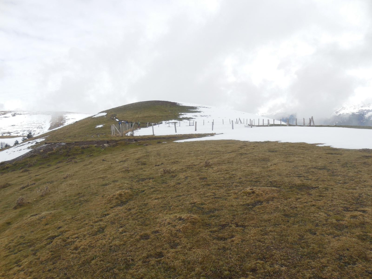
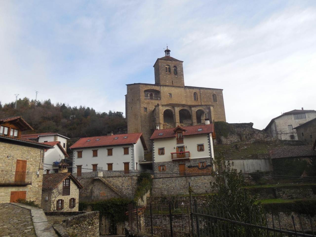
This circular route starts in the village of Roncal. It begins on asphalt for 1.5 km towards Urzainqui and then turns left towards Santa Barbara. The route climbs for 7 km along steep gradients to reach the Santa Barbara mountain range, which offers spectacular views. Follow your GPS track to a dirt road that descends for 12 km to the village of Vidangoz. Before reaching the village of Vidangoz, take the dirt road on your left that leads back to the village of Roncal.
Weather forecast
Urzainqui
15°CReal feel 14°C
broken clouds
-
Tue
22/0918° /11°
53%
-
Wed
23/0923° /14°
39%
-
Thu
24/0926° /17°
30%