7. LUTOA

 Back
Back 

Route data
Izaba / Isaba
Izaba / Isaba

Distance
33.7 Km
Circular route

Difficulty
Difficult

Max. elevation
1025 m.

Max. elevation
1025 m.
Weather forecast
Urzainqui/Urzainki
 16°C
16°CReal feel 16°
scattered clouds
-
Tue
22/09
19° /13°
 57%
57%
-
Wed
23/0925° /17°
43%
-
Thu
24/09
28° /20°
37%
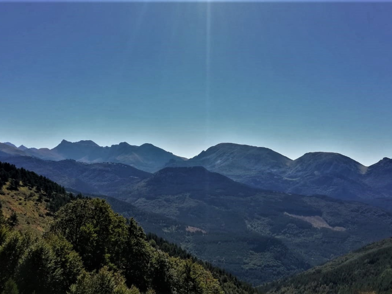
Circular route from Isaba, with stunning views of mountains and valleys, ideal for enjoying nature and the tranquillity of the surroundings.
This circular route begins in the village of Isaba. It starts on asphalt for 2 km towards Uztarroz and then takes the track towards Mintxate. The route climbs along a gravel road with views of the Mintxate gorge. It continues for 12 km to Lutoa at the end of the track, which offers views of Lakartxela, Otsogorrigaine, and Baracea. The route descends along the same track for 7-8 km and turns left. It then ascends along a dirt track to the ridgeline overlooking the Belagua valley. From here, follow the GPS track to a path that descends into the Belagua valley. The route then reaches the road and descends along the GR for 3-4 km back to the village of Isaba.
Weather forecast
Urzainqui/Urzainki
16°CReal feel 16°C
scattered clouds
-
Tue
22/0919° /13°
57%
-
Wed
23/0925° /17°
43%
-
Thu
24/0928° /20°
37%