7. NAFAR WHISTLER

 Back
Back 

Route data
Eugi
Eugi

Distance
11 Km
Circular route

Difficulty
Difficult

Max. elevation
470 m.

Max. elevation
470 m.
Weather forecast
Urtasun
 19°C
19°CReal feel 19°
overcast clouds
-
Tue
22/09
22° /14°
 48%
48%
-
Wed
23/09
23° /14°
44%
-
Thu
24/09
29° /19°
29%
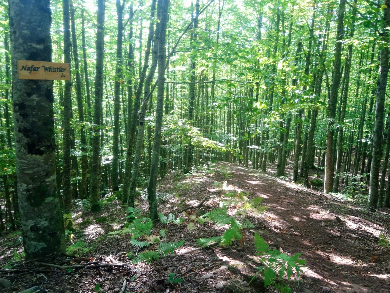
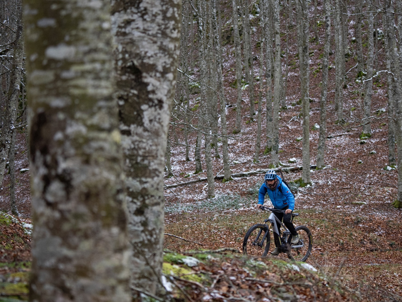
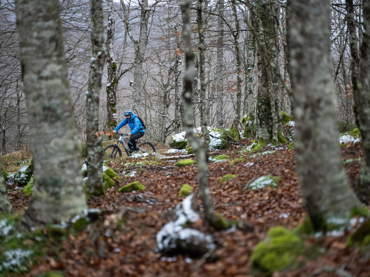
A challenging route combining technical trails and breathtaking scenery, perfect for experienced cyclists and runners seeking adventure.
This comprehensive route follows the tracks and trails that climb Mount Arzabal. Starting just outside the village of Eugi, the trail climbs steadily along the cemetery dirt-track to the start of the descent. The descent features roots, rock gardens, flow, and technical sections. It presents a high level of difficulty suitable for expert bikers and runners. At the end of the descent, the route crosses a river that can have a considerable flow depending on the season, so caution is advised. From there, the track leads to the NA-138 road, which heads south back to the village of Eugi.
Weather forecast
Urtasun
19°CReal feel 19°C
overcast clouds
-
Tue
22/0922° /14°
48%
-
Wed
23/0923° /14°
44%
-
Thu
24/0929° /19°
29%