8. Youth

 Back
Back 

Route data
Eugi
Eugi

Distance
10 Km
Circular route

Difficulty
Medium

Max. elevation
400 m.

Max. elevation
400 m.
Weather forecast
Urtasun
 19°C
19°CReal feel 19°
overcast clouds
-
Tue
22/09
22° /14°
 46%
46%
-
Wed
23/09
25° /16°
43%
-
Thu
24/09
31° /20°
24%
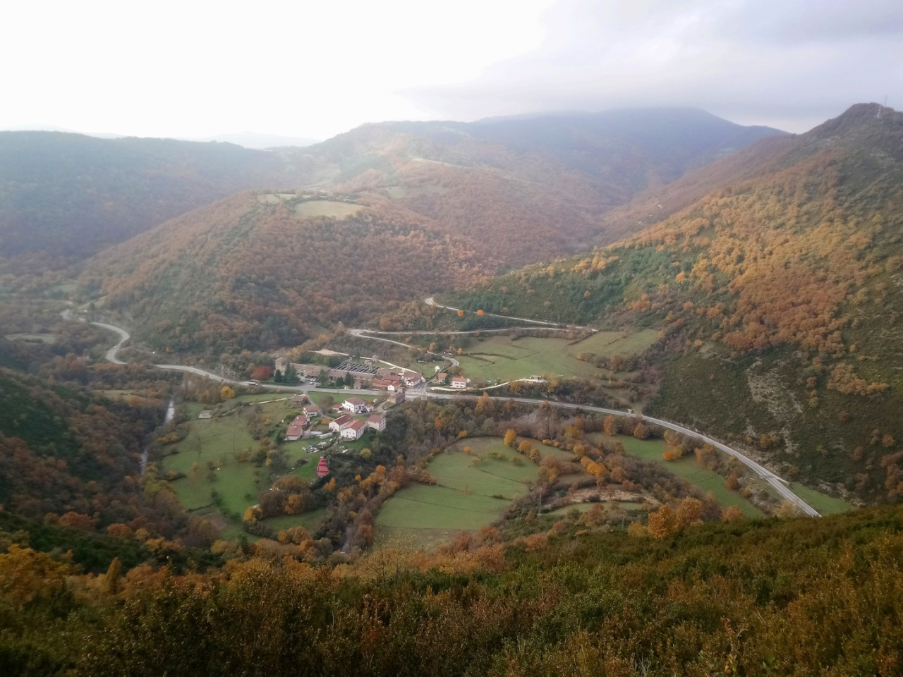
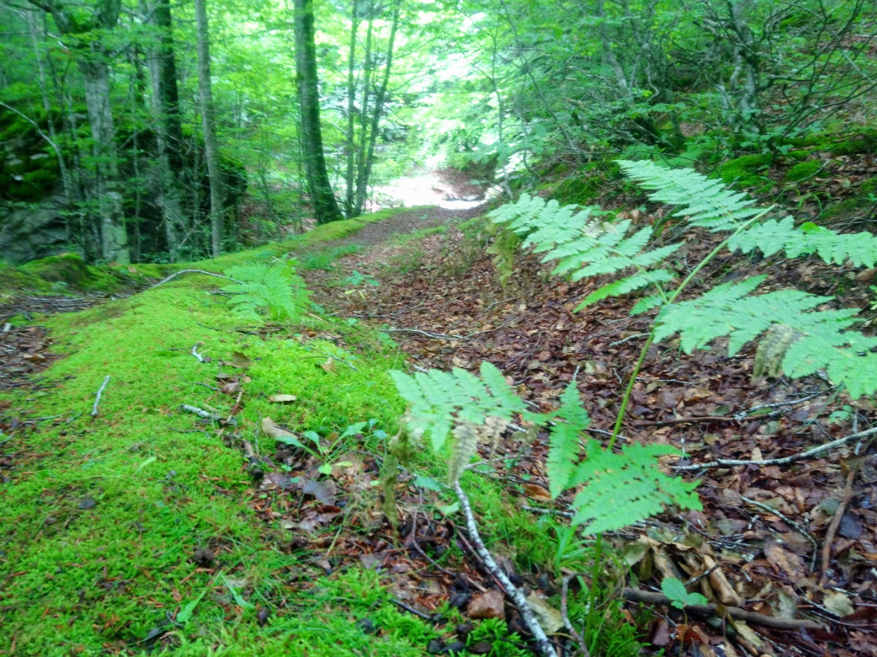
A scenic route connecting nature and culture, with breathtaking views and a charming village at the end, ideal for hiking enthusiasts.
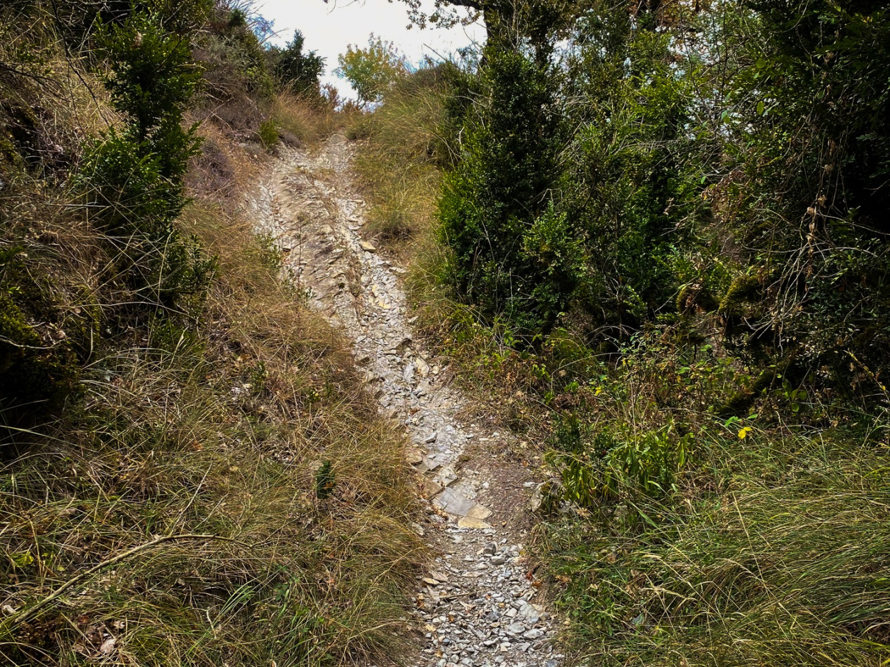
The route starts in Eugi and climbs the track connecting to Zilbeti, (coinciding with route 09.Azegi-Etxarro-Saigots). At the hill, it turns right and continues across fields toward Mount Azegi, where the paths diverge, pay careful attention here, as it is between box trees and easy to miss. The route passes to the right of Mount Azegi and begins a steep descent toward the ravine, leading to the bridge over the Arga River and the village of Urtasun. From there, it climbs to the village and returns to Eugi along the NA-138 road heading north.
Weather forecast
Urtasun
19°CReal feel 19°C
overcast clouds
-
Tue
22/0922° /14°
46%
-
Wed
23/0925° /16°
43%
-
Thu
24/0931° /20°
24%