9. AZEGI ETXARRO

 Back
Back 

Route data
Zubiri
Zubiri

Distance
18 Km
Circular route

Difficulty
Medium

Max. elevation
600 m.

Max. elevation
600 m.
Weather forecast
Urtasun
 20°C
20°CReal feel 20°
overcast clouds
-
Tue
22/09
22° /14°
 46%
46%
-
Wed
23/09
25° /16°
43%
-
Thu
24/09
31° /20°
24%
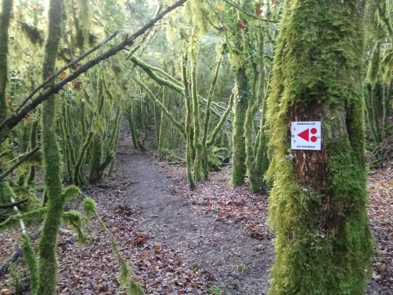
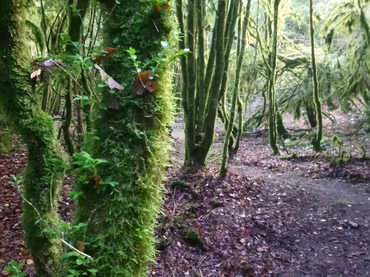
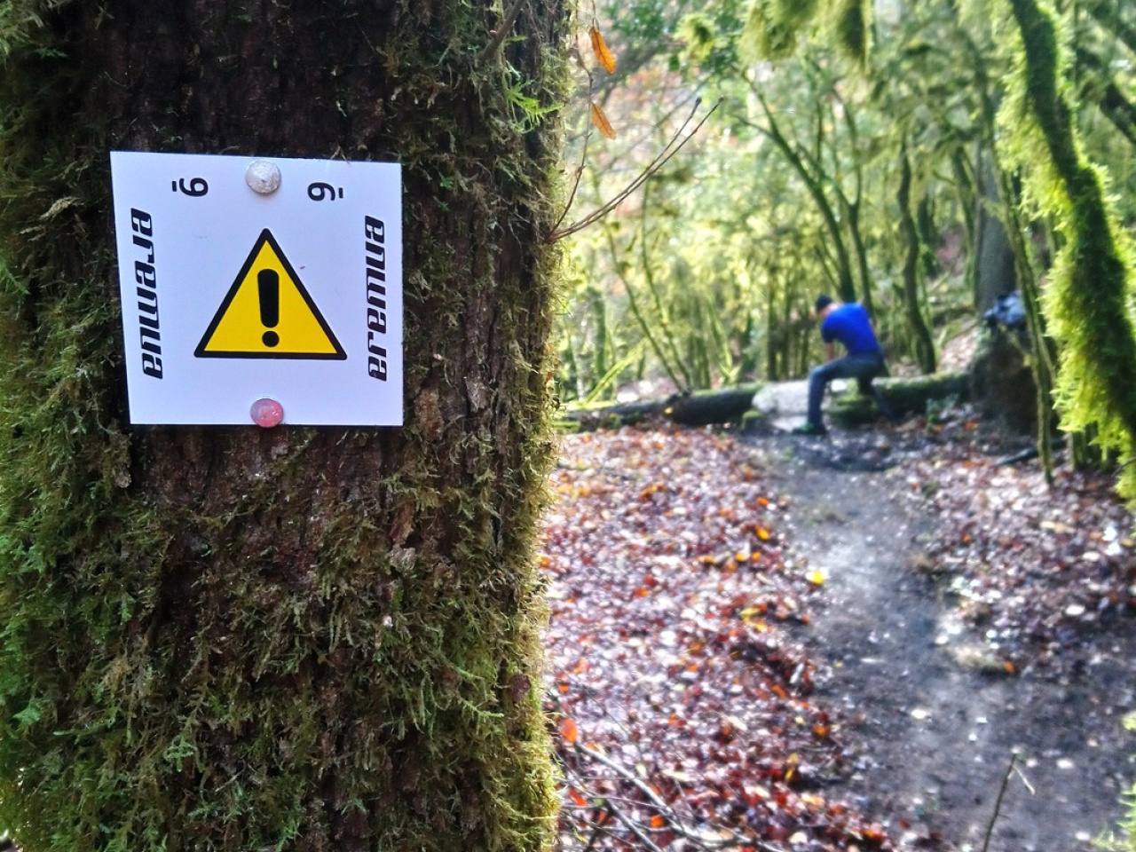
A route that combines nature and adventure, with breathtaking views and trails connecting mountains and rivers, ideal for hiking enthusiasts.
The route starts at the EREMUA centre in Zubiri and follows the NA-138 towards Eugi. In the village of Eugi, the trail follows a dirt-track that shared with route 08. Urtasun and leads to the Gurrutxaga pass, which connects with Zilbeti. At the pass, the trail heads toward the slopes of Mount Azegi. After the routes separate, a descent leads toward the Etxarro ravine, followed by a scenic uphill path to the antenna at the Zilbeti pass, where the trail joins route 10, Saigots. Upon reaching the path running parallel to the Arga River, the route crosses the bridge to find the trail climbing to Saigots. From there, the route follows the NA-138 road back to Zubiri.
Weather forecast
Urtasun
20°CReal feel 20°C
overcast clouds
-
Tue
22/0922° /14°
46%
-
Wed
23/0925° /16°
43%
-
Thu
24/0931° /20°
24%