ERREA ROAD

 Back
Back 

Route data
Zuriain
Zuriain

Distance
14 Km
Circular route

Difficulty
Easy

Max. elevation
420 m.

Max. elevation
420 m.
Weather forecast
Zuriáin
 20°C
20°CReal feel 19°
overcast clouds
-
Tue
22/09
24° /16°
 42%
42%
-
Wed
23/09
26° /16°
34%
-
Thu
24/09
31° /19°
22%
A scenic route connecting historic villages, offering natural landscapes and access to the Camino de Santiago, ideal for lovers of hiking and culture.
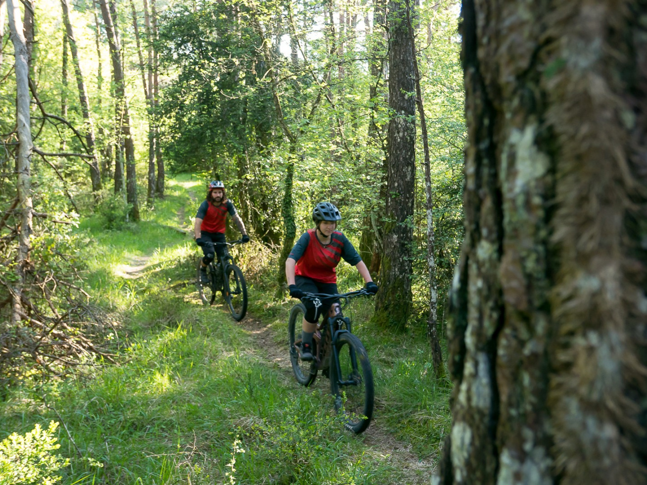
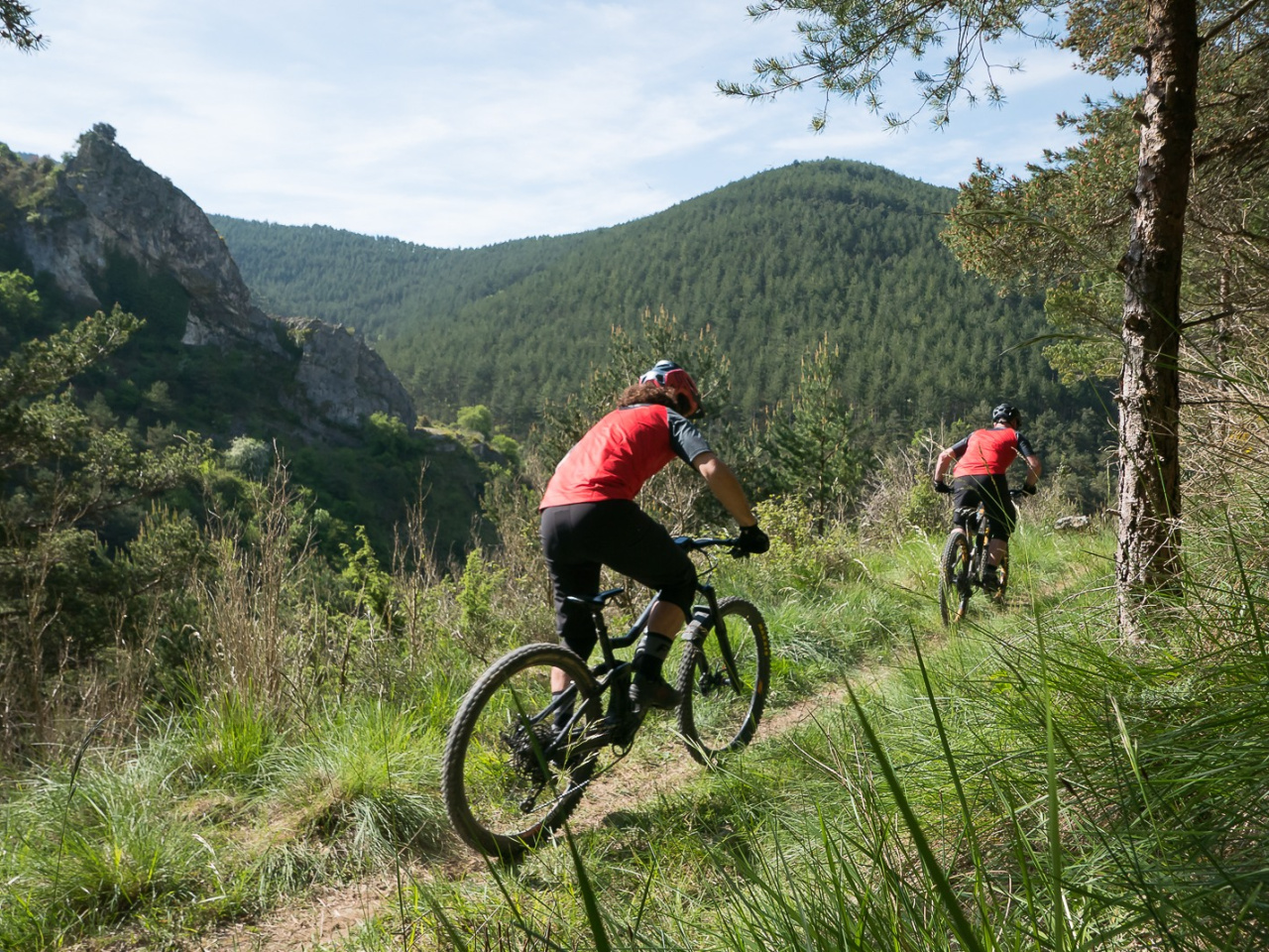
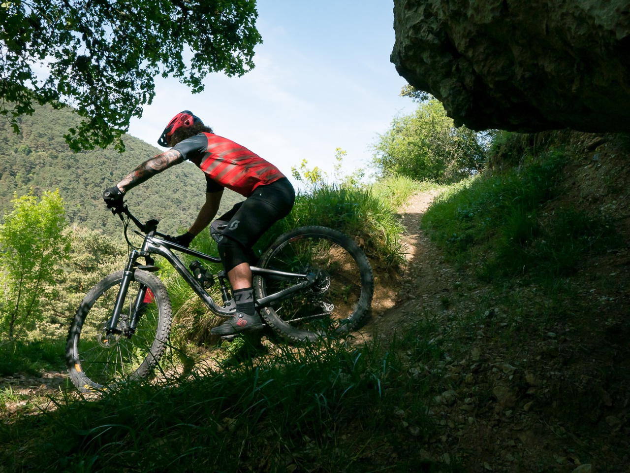
The route starts in the village of Zuriain, climbs the road to the village of Larrasoaña, and continues to the village of Irure. From there, it climbs the track towards the ridgeline that separates this village from Ilurdotz. Once there, it heads southeast for 600 metres before descending along the old Errea path. After reaching and crossing the village, the route continues along the old Ilurdotz path. This path leads to the junction with the Camino de Santiago, where the route continues back to Zuriain. As the route passes through built-up areas, moderate your speed and give way to pedestrians. Alternative: to avoid the road from Zuriain to Larrasoaña, you can take the Camino de Santiag northwards.
Weather forecast
Zuriáin
20°CReal feel 19°C
overcast clouds
-
Tue
22/0924° /16°
42%
-
Wed
23/0926° /16°
34%
-
Thu
24/0931° /19°
22%