GARAZIBAR ROAD

 Back
Back 

Route data
Olloki
Olloki

Distance
12.1 Km
Circular route

Difficulty
Easy

Max. elevation
455 m.

Max. elevation
455 m.
Weather forecast
Huarte-Uharte
 21°C
21°CReal feel 21°
overcast clouds
-
Tue
22/09
25° /17°
 40%
40%
-
Wed
23/09
28° /17°
30%
-
Thu
24/09
31° /19°
22%
Discover a picturesque route that combines nature, history and breathtaking views, ideal for lovers of hiking and adventure.
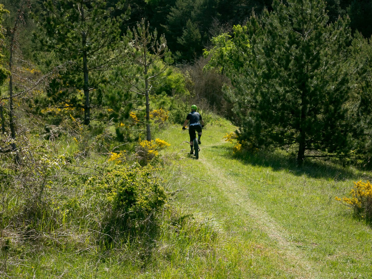
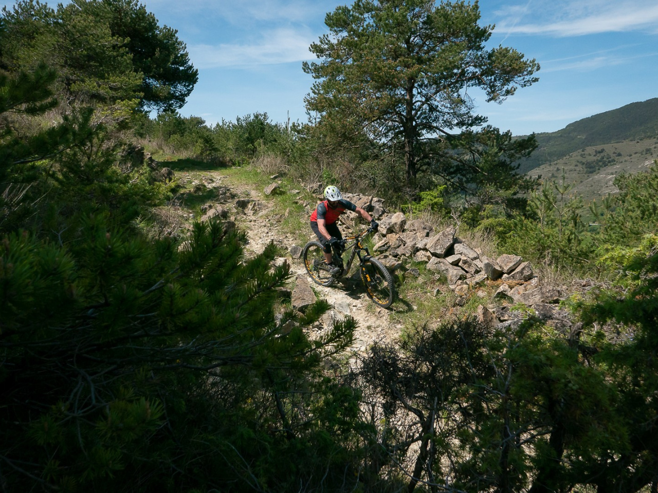
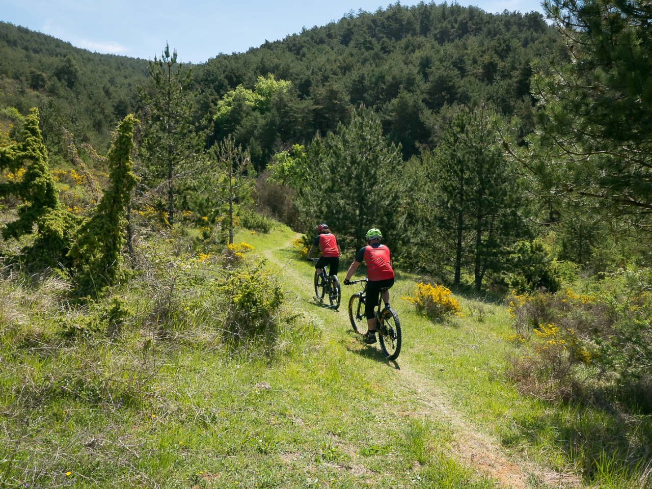
The route begins in the village of Olloki, specifically in the upper part near the church. It climbs towards Mount San Miguel along the dirt-track leading from Olloki to Alzuza. Once on the upper part of the mountain range, the route continues along the dirt-track to the antennas above Irotz. A beautiful, fast trail descends directly to Irotz. At the entrance to the village, the route turns south to return to Olloki along an old Garazibar trail. From the bottom of the valley, it climbs back up to the San Miguel ridgeline to connect with the downhill trail leading to the Ermita de las Nieves chapel.
Weather forecast
Huarte-Uharte
21°CReal feel 21°C
overcast clouds
-
Tue
22/0925° /17°
40%
-
Wed
23/0928° /17°
30%
-
Thu
24/0931° /19°
22%