GARRALDA TRAIL

 Back
Back 

Route data
Garralda
Garralda

Distance
6.7 Km
Circular route

Difficulty
Very easy

Max. elevation
320 m.

Max. elevation
320 m.
Weather forecast
Garralda
 16°C
16°CReal feel 16°
overcast clouds
-
Tue
22/09
20° /12°
 45%
45%
-
Wed
23/0923° /15°
42%
-
Thu
24/09
27° /19°
32%
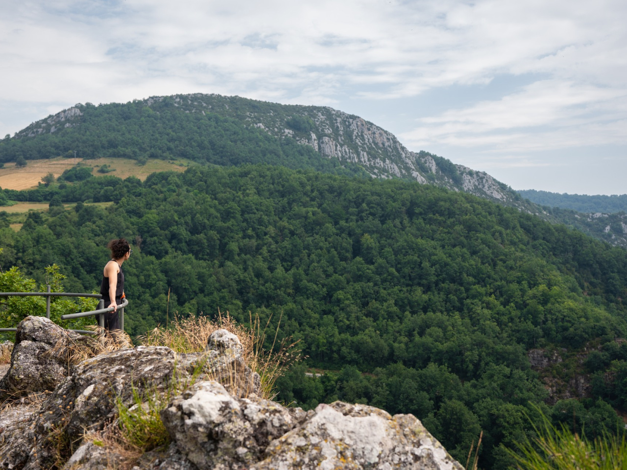
A circular route combining history, nature and breathtaking views. Features mining ruins and a viewpoint.
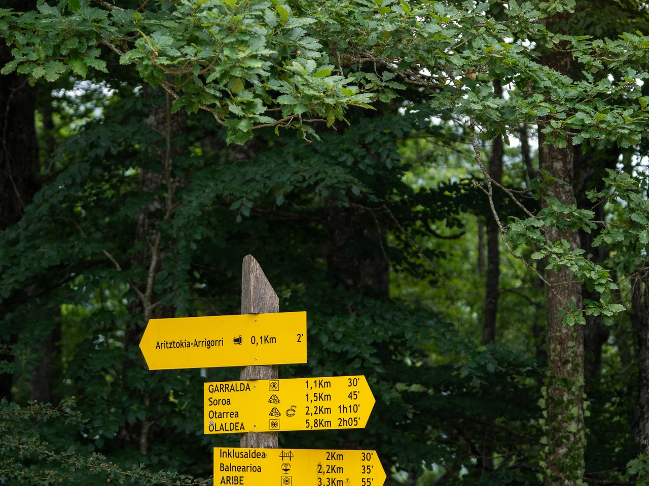
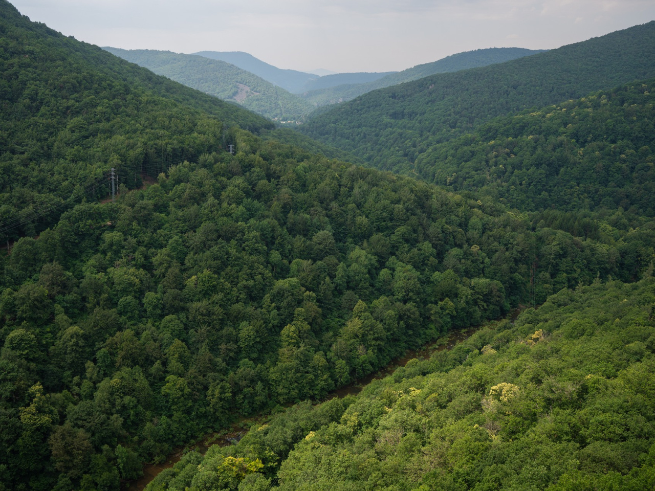
Starting at the information panel, this circular route crosses the village via the Cañada Real. At a cattle grid, it branches left, climbing to an old charcoal kiln and a goal. Following yellow markings, it enters the forest and reaches a viewpoint overlooking the Irati River. The itinerary passes the ruins of a mining village, a charcoal kiln, and an undated burial mound before arriving at the Aritztokia-Arrigorri viewpoint and an information panel detailing the historical uses of the oak trees.
Weather forecast
Garralda
16°CReal feel 16°C
overcast clouds
-
Tue
22/0920° /12°
45%
-
Wed
23/0923° /15°
42%
-
Thu
24/0927° /19°
32%