GR 11 Pyrenean Way

 Back
Back 

Route data
Urkiaga
Zuriza

Distance
85 Km
Lineal route

Difficulty
Expert

Max. elevation
3265 m.

Max. elevation
2960 m.
Weather forecast
Garaioa
 17°C
17°CReal feel 16°
overcast clouds
-
Tue
22/09
20° /13°
 48%
48%
-
Wed
23/0924° /16°
43%
-
Thu
24/09
28° /20°
36%
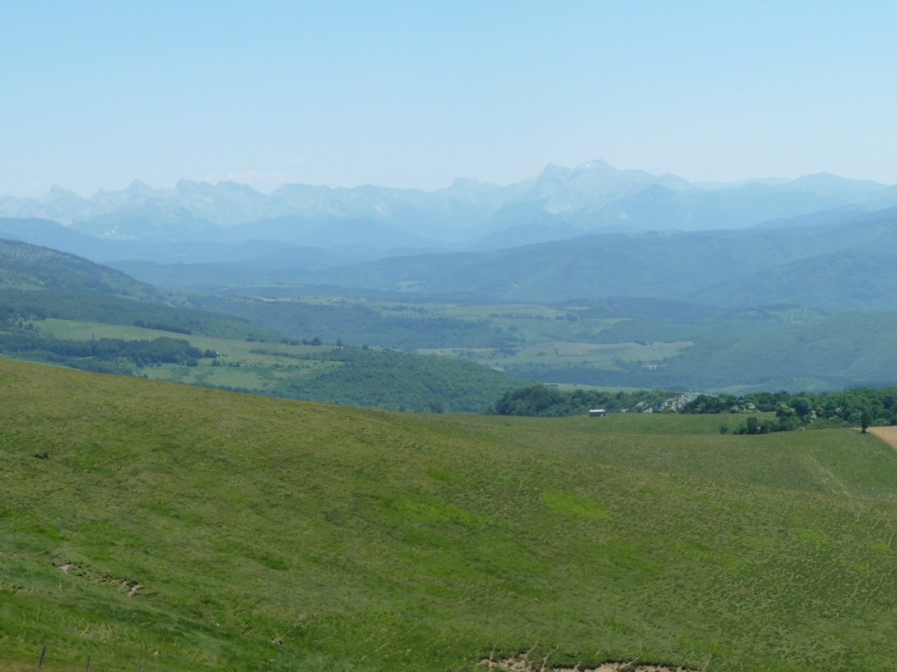
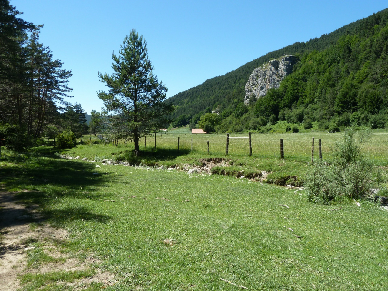
This scenic route offers diverse trekking paths, connecting various trails and inhabited areas, with GPS-guided distances and volunteer-maintained paths.
The Navarre Federation of Mountain Sports and Climbing (FNDME) has attempted to design the most suitable route for the GR® 11 in Navarre, taking into account the current humanisation of the territory and trying to incorporate some new sections along trails to avoid tracks.
The route of the GR® 12 "Sendero de Euskal Herria" (Euskal Herria Trail) has also been taken into account, as well as the various cross-border or trans-Pyrenean links known as GR®T, which connect the GR® 10 and GR® 11 in more than sixty stages from west to east.
The Navarre territory covers GR®T 3 to GR®T 13.
This GR® has attempted to end all its stages in inhabited places. Another of its objectives has been the development of circular routes with both the GR® 12 and the GR®Ts.
The result of this design is the Irati Trekking route, bounded to the north by the GR® 10 between Donibane-Garazi / Saint Jean de Pied de Port and Chalets d'Iraty, to the south by the GR® 11 between Auritz/Burguete and Otsagabia/Ochagavía, and from west to east by the GR®T 7 Auritz/Burguete–Orreaga/Roncesvalles–Donibane-Garazi/Saint Jean de Pied de Port, GR®T 8 Txutxurieta–Orbaizetako Ola/Fca. Orbaizeta-Col d'Irau, GR®T 9 Paso de las Alforjas–Casas de Irati-Okabe and GR®T 10 Paso de las Alforjas-Chalets d'Iraty, which allow for greater versatility of routes through this incredible landscape.
Likewise, the following links in Baztan Bidasoa, E.GR® 11–GR® 12 or Trekking del Bidasoa and GR®T 5 or Kulunka Bidea, connect the French GR® 10 with GR® 11 and GR® 12 in the aforementioned geographical area. This forms a network of nearly 200 kilometres with multiple options for starting and ending the route, in one or several days.
The effort and determination of dozens of volunteers has enabled the recovery and maintenance of this unique route.
GPS technology has been used to calculate distances and the profiles have been improved with MDTs. The times have been calculated using the MIDE method.
This is the official method used by both the Spanish Mountain and Climbing Sports Federation (FEDME) and the FNDME. Therefore, the times are approximate for hikers with their rucksacks, but any adjustment or deviation will be the same for all GR®s in Navarre. As a result, users will have a good reference point.
Now is the time for everyone to get involved in the project and notify gr11@mendinavarra.com of any incidents or improvements you may observe or think of, as well as your request to participate in the volunteer group.
Weather forecast
Garaioa
17°CReal feel 16°C
overcast clouds
-
Tue
22/0920° /13°
48%
-
Wed
23/0924° /16°
43%
-
Thu
24/0928° /20°
36%