GR 321 ROYAL ROAD

 Back
Back 

Route data
Burgui / Burgi
Refugio de Belagua / Belaguako Aterpea

Distance
37 Km
Lineal route

Difficulty
Difficult

Max. elevation
1500 m.

Max. elevation
700 m.
Weather forecast
Urzainqui/Urzainki
 17°C
17°CReal feel 16°
scattered clouds
-
Tue
22/09
19° /13°
 51%
51%
-
Wed
23/0925° /15°
37%
-
Thu
24/09
27° /18°
27%
An ancient Roman route offers scenic trails, connecting villages and crossing into France, perfect for hiking and exploring historical paths.
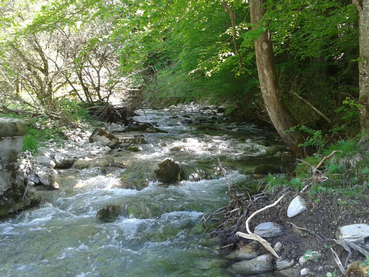
The Camino Real Roncalés has its origins in an ancient Roman road, and for many centuries it was the main route of communication between the villages of the valley. It entered from Aragonese territory through the Foz de Burgui and ran up the valley parallel to the Ezka River until it crossed the French border at the Arrakogoiti pass.
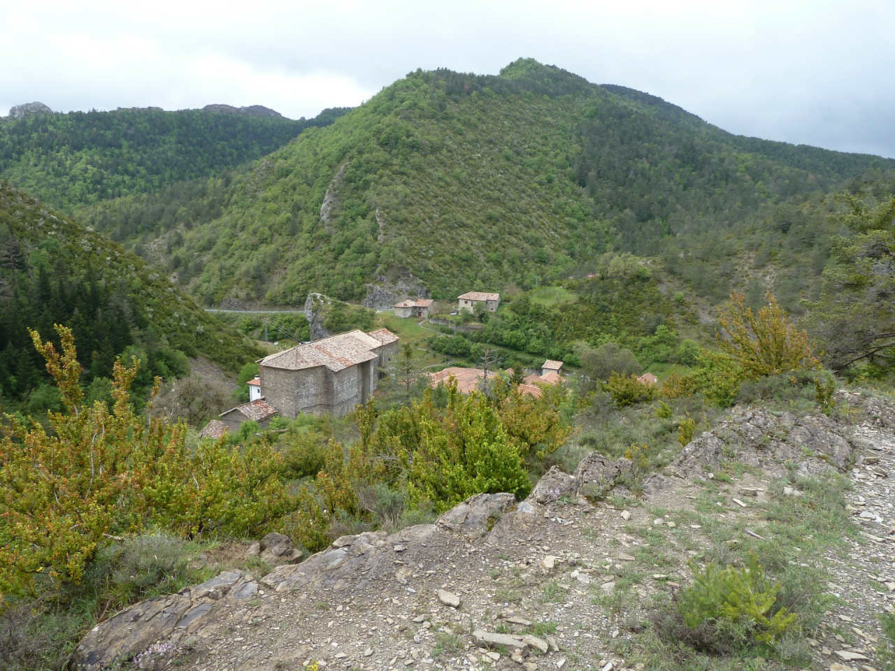
It has a main route which, in two stages, goes from Burgui/Burgi to Isaba/Izaba and from Isaba/Izaba to the Angel Olorón de Belagua refuge, with three branches leading to the other villages in the valley: Bidankoze/Vidángoz, Garde and Uztarroze/Uztárroz.
Weather forecast
Urzainqui/Urzainki
17°CReal feel 16°C
scattered clouds
-
Tue
22/0919° /13°
51%
-
Wed
23/0925° /15°
37%
-
Thu
24/0927° /18°
27%