GR-322: NAVARRA XTREM

 Back
Back 

Route data
Zubiri
Zubiri

Distance
68 Km
Circular route

Difficulty
Expert

Max. elevation
3790 m.

Max. elevation
3790 m.
Weather forecast
Urtasun
 18°C
18°CReal feel 18°
broken clouds
-
Tue
22/09
21° /13°
 46%
46%
-
Wed
23/09
24° /15°
44%
-
Thu
24/0930° /20°
26%
A 68 km circular route offering breathtaking views and challenging climbs, ideal for nature lovers and hikers.
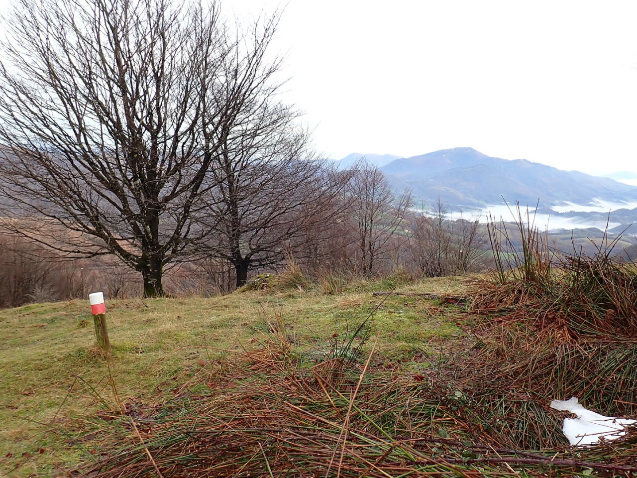
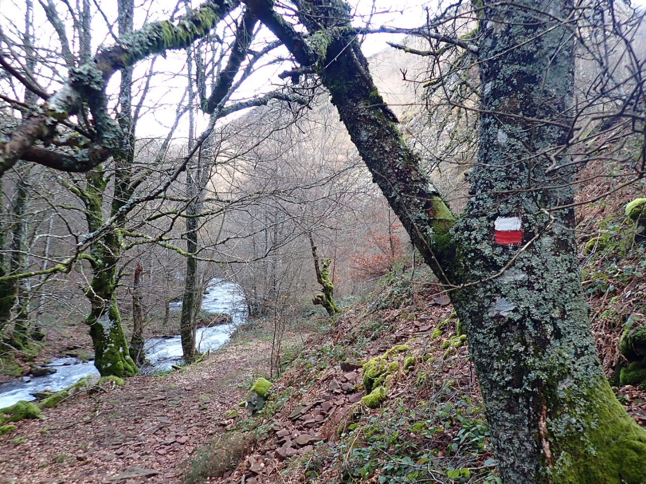
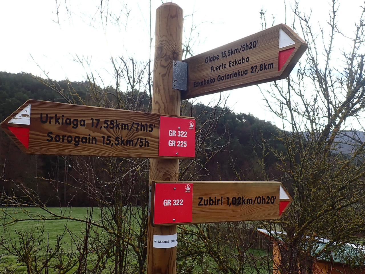
The Nafarroa Xtrem follows a circular route starting and ending in Zubiri. It runs counter-clockwise, covering 68 km with 4,000 m of elevation gain. The route passes through the municipalities of Esteribar, Erro, Anué, and Baztan, as well as the village of Lantz. It crosses the villages of Aritzu, Iragi, and Usetxi, and climbs the peaks of Adi, Saioa, Zuriain, Artzeki, Goitean, and Baratxueta. Like all GR trails, it can be completed in either direction.
Weather forecast
Urtasun
18°CReal feel 18°C
broken clouds
-
Tue
22/0921° /13°
46%
-
Wed
23/0924° /15°
44%
-
Thu
24/0930° /20°
26%