GR 324 ZARAITZUBIDE

 Back
Back 

Route data
Pikatua
Uscarres

Distance
66 Km
Lineal route

Difficulty
Expert

Max. elevation
2150 m.

Max. elevation
2850 m.
Weather forecast
Oronz/Orontze
 18°C
18°CReal feel 17°
overcast clouds
-
Tue
22/09
21° /14°
 50%
50%
-
Wed
23/0926° /18°
40%
-
Thu
24/09
30° /21°
31%
Explore diverse landscapes, charming towns, and historic trails, with scenic views and natural beauty, perfect for nature lovers and hikers.
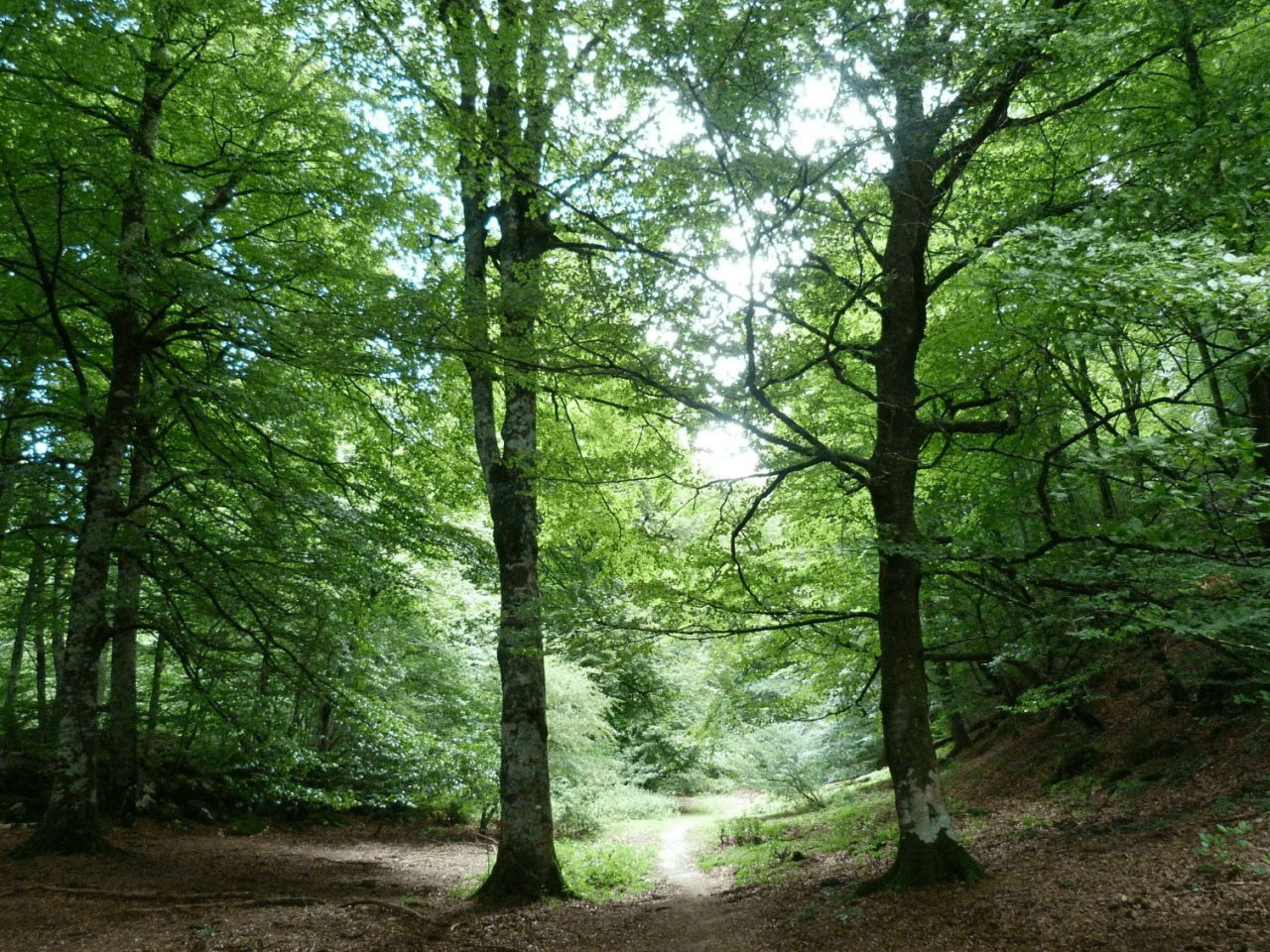
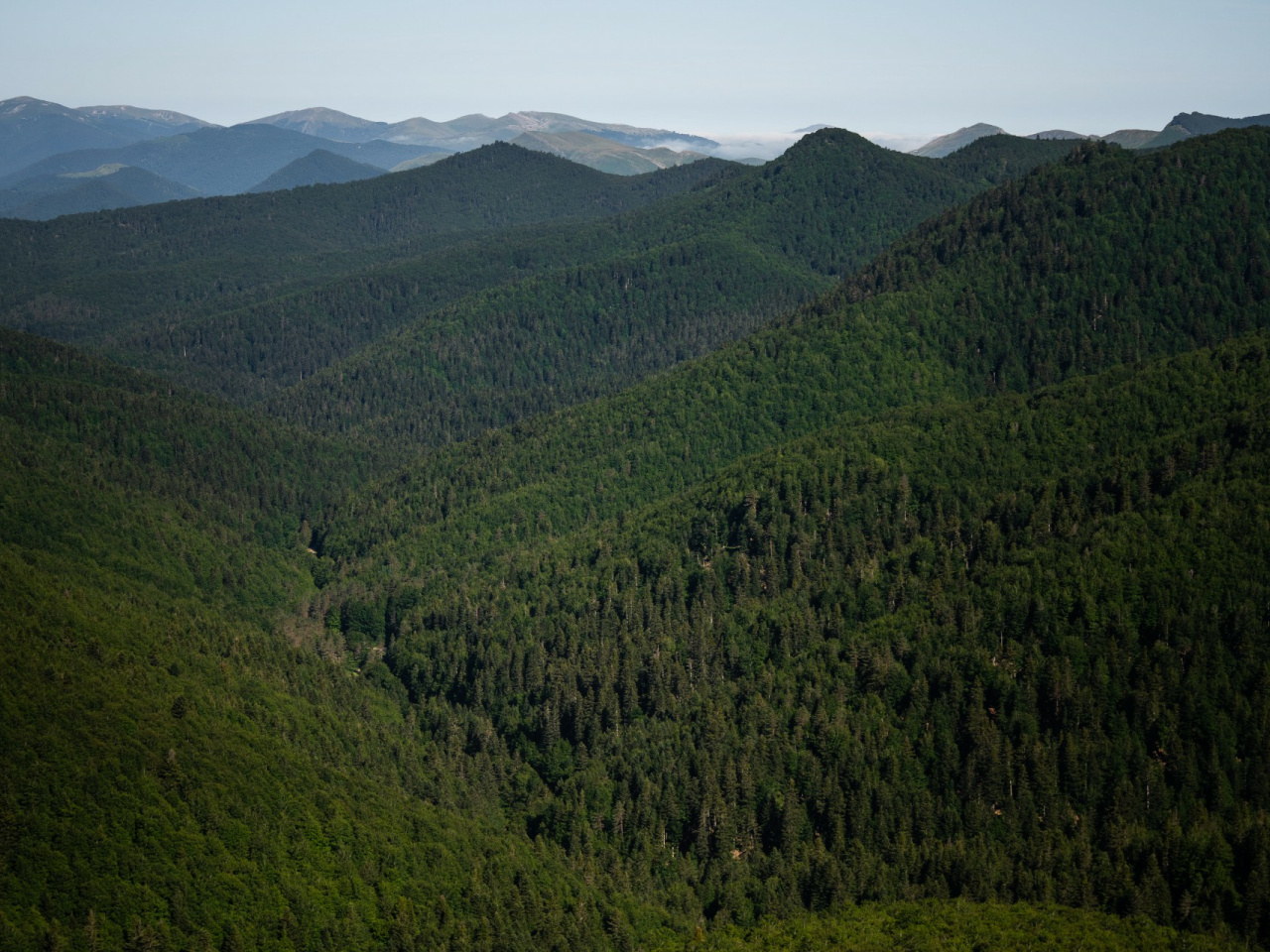
The Zaraitzubide Long Distance Trail (GR®) is a linear route that crosses the Salazar Valley from north to south, from the top of Pika-tua, opposite Mount Orhi, to the town of Uscarrés. Along the way, you will pass through natural landscapes such as forests, pastures, ravines and viewpoints, as well as numerous towns in the Salazar region, including Izalzu, Ochagavía, Ezcároz, Oronz, Esparza, Jaurrieta, Ibilcieta, Sarries, Iciz, Gallués, Izal and others. The route largely follows the course of the Salazar River, passing through historic sections, traditional trails and shepherds' paths.
Weather forecast
Oronz/Orontze
18°CReal feel 17°C
overcast clouds
-
Tue
22/0921° /14°
50%
-
Wed
23/0926° /18°
40%
-
Thu
24/0930° /21°
31%