GR-65: WAY OF ST. JAMES

 Back
Back 

Route data
Luzaide/Valcarlos
Pamplona / Iruña

Distance
42.8 Km
Lineal route

Difficulty
Expert

Max. elevation
1270 m.

Max. elevation
1050 m.
Weather forecast
Urtasun
 20°C
20°CReal feel 20°
overcast clouds
-
Tue
22/09
22° /14°
 49%
49%
-
Wed
23/09
22° /13°
43%
-
Thu
24/09
28° /18°
27%
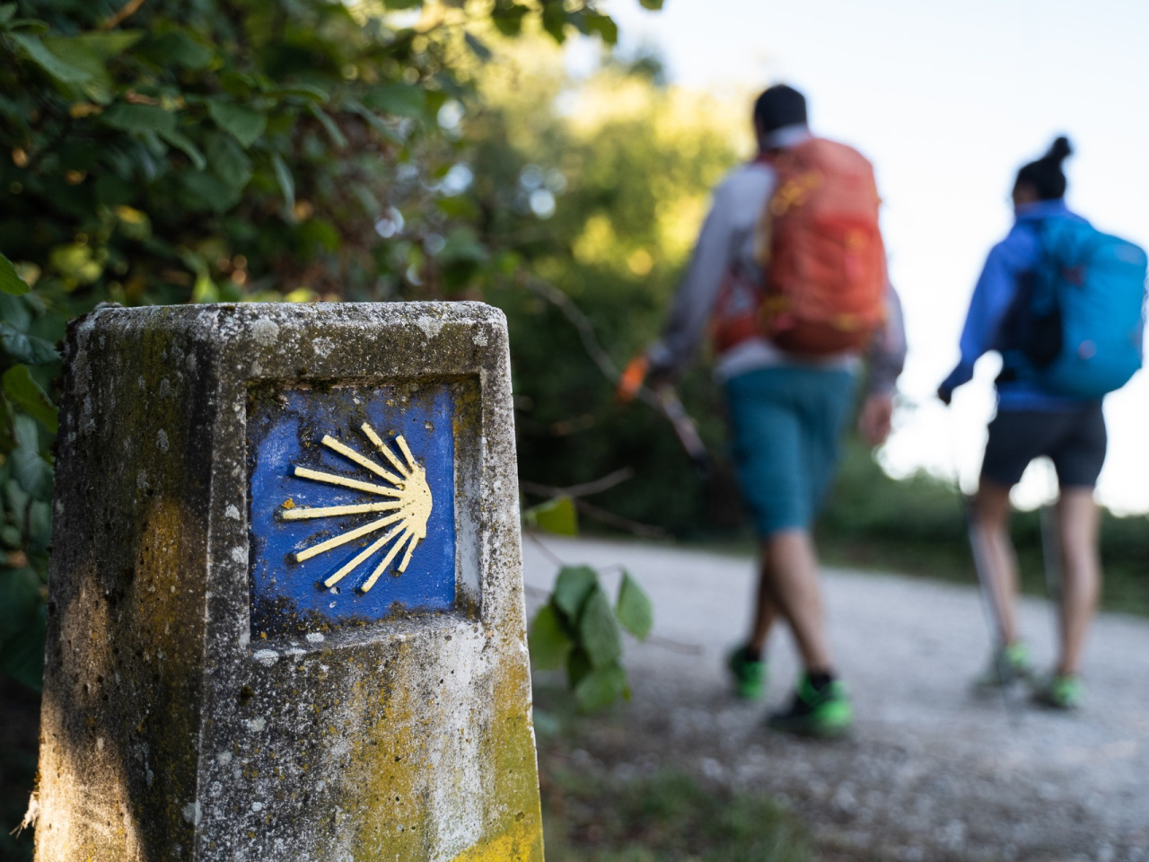
The route combines nature, history, and culture as it runs from a picturesque village to vibrant Pamplona; it ideal for adventure lovers.
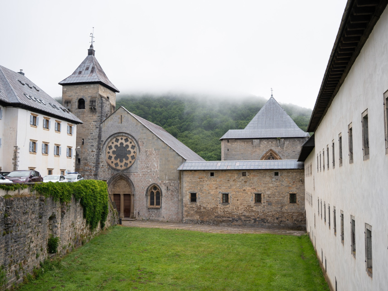
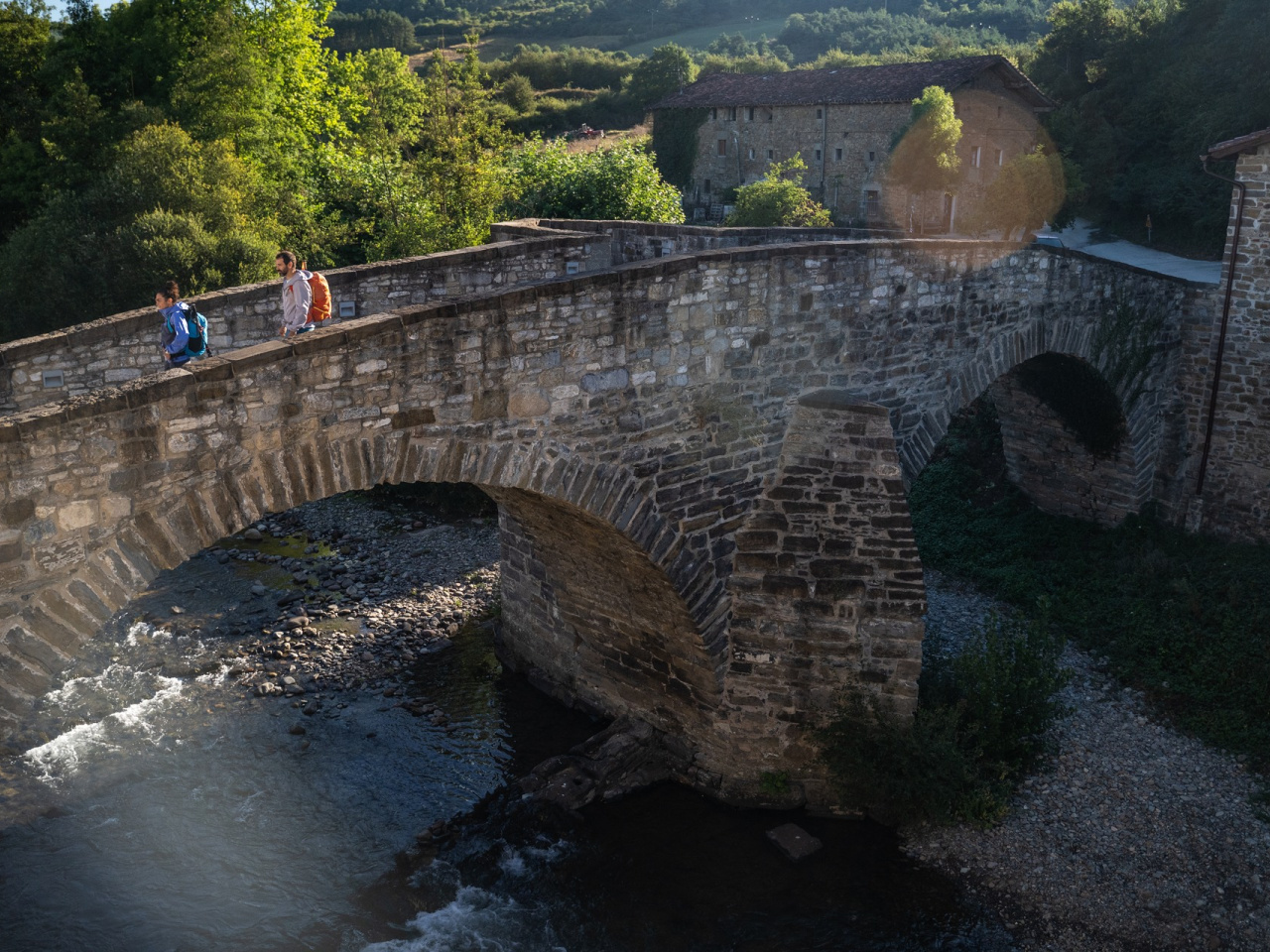
The route starts in Luzaide/Valcarlos or at the old Arnegi customs house, offering two options: through the French quarter or along the NA-135 road. This picturesque border village, typical of the Pyrenees, stands out for its dovecotes, its pelotaris, and the reconstructed Jacobean church of Santiago Apóstol, located next to Jorge Oteiza's monument to the pilgrim. From there, the route becomes more demanding as it climbs through chestnut and beech forest and meadows to Alto de Ibañeta, the site of the legendary Battle of Roncesvalles, featuring the Roldán monolith and the chapel of San Salvador. The following stages pass through Pyrenean villages, small mountain passes, and the Esteribar valley, eventually crossing the iconic bridges over the River Arga to reach Pamplona, the first major city on the Camino.
Weather forecast
Urtasun
20°CReal feel 20°C
overcast clouds
-
Tue
22/0922° /14°
49%
-
Wed
23/0922° /13°
43%
-
Thu
24/0928° /18°
27%