GR12 Basque Country Trail

 Back
Back 

Route data
Buztamorro
"Refugio de Belagua / Belaguako Aterpea "

Distance
115 Km
Lineal route

Difficulty
Expert

Max. elevation
5470 m.

Max. elevation
4870 m.
Weather forecast
Orbara
 17°C
17°CReal feel 17°
overcast clouds
-
Tue
22/09
20° /13°
 45%
45%
-
Wed
23/0923° /15°
43%
-
Thu
24/09
27° /20°
39%
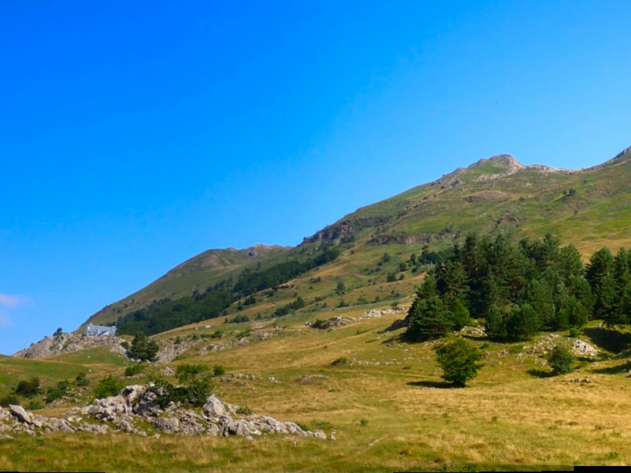
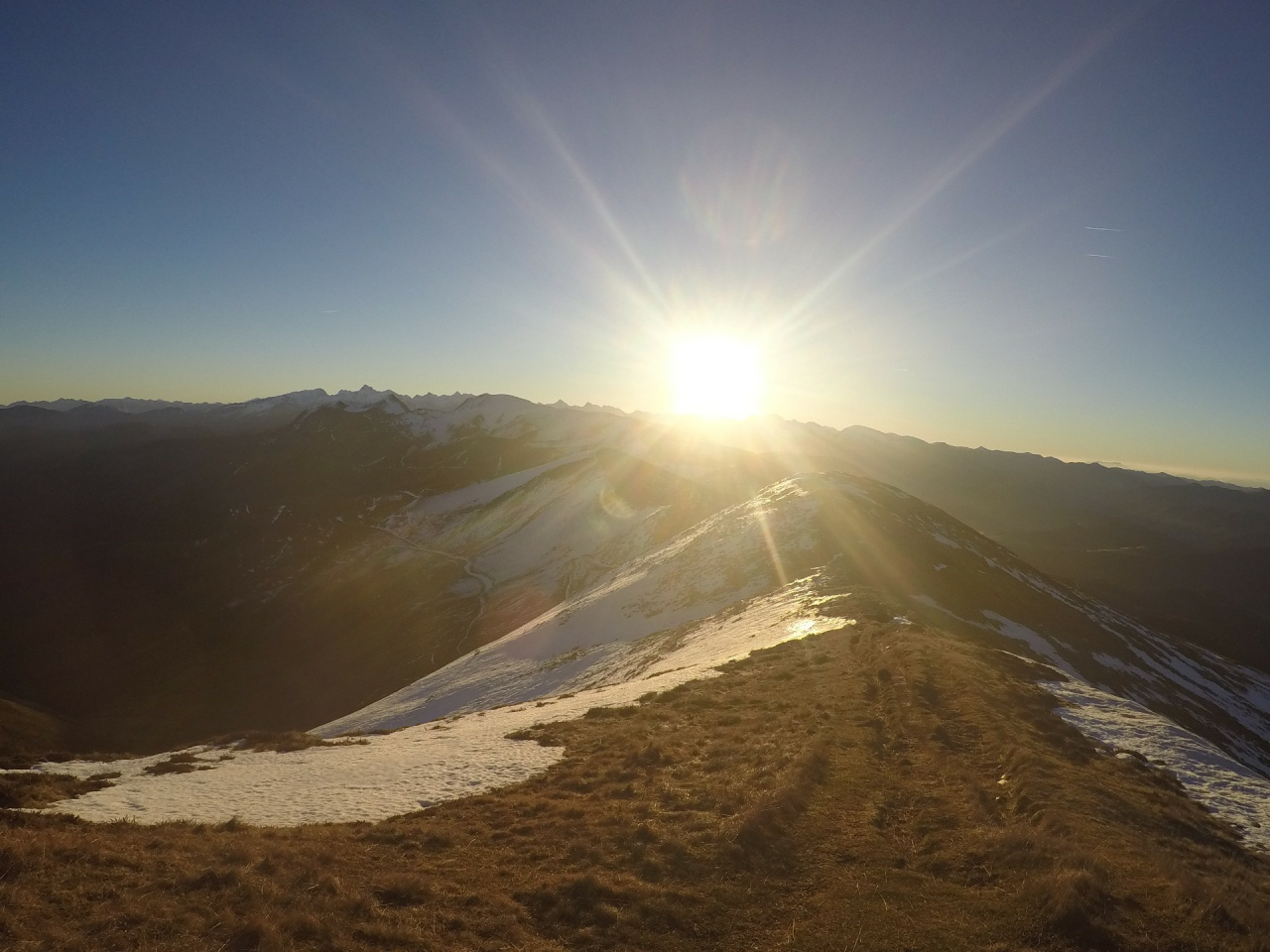
A scenic sports route offering trekking with cultural and natural highlights, supported by local volunteers and enhanced with modern GPS and MIDE methods.
The Navarre Federation of Mountain Sports and Climbing (FNDME) has attempted to design the most suitable route for this GR in Navarre, taking into account the current humanisation of the territory and trying to incorporate some new sections along paths to avoid tracks.
All actions have been approved at public events to which local entities, tourism consortiums, mountain clubs and GR volunteers were invited. The new route of the GR 11 "Senda Pirenaica" (Pyrenean Trail) has also been taken into account, as well as the various cross-border or trans-Pyrenean links known as GRT.
This GR is defined as a sports route and, as a result, more consideration has been given to following the watershed than to ending stages in inhabited areas. It is a commitment to those who still want to enjoy crossings in a different format and to mountain clubs that carry out their activities at the weekend.
However, its nine stages in Navarre can also be covered in a trekking format, with accommodation and/or transport options. Please see the attached explanatory PDF.
The effort and determination of dozens of volunteers has made it possible to restore this beautiful route.
GPS technology has been used to calculate distances and the profiles have been improved with MDTs. Times have been calculated using the MIDE method. This is the official method used by both the Spanish Mountain and Climbing Sports Federation (FEDME) and the FNDME.
Therefore, the times are approximate for hikers with their rucksacks, but their adjustment or deviation will be the same for all GRs in Navarre. As a result, users will have a good reference point.
The final topographical guide, currently in layout, will be available on this website in PDF format and will include the following elements for each stage: naturalistic elements, cultural aspects, toponymic study and the attached description.
Now is the time for us all to volunteer for the project and notify gr12@mendinavarra.com of any incidents or improvements you observe or can think of, as well as your request to participate in the volunteer group.
Weather forecast
Orbara
17°CReal feel 17°C
overcast clouds
-
Tue
22/0920° /13°
45%
-
Wed
23/0923° /15°
43%
-
Thu
24/0927° /20°
39%