GREAT PYRENEES GRAVEL ROUTE

 Back
Back 

Route data
Parking público de Ezcaroz
Parking público de Ezcaroz

Distance
320 Km
Lineal route

Difficulty
Medium

Max. elevation
8400 m.

Max. elevation
8400 m.
Weather forecast
Orbara
 19°C
19°CReal feel 18°
overcast clouds
-
Tue
22/09
21° /14°
 45%
45%
-
Wed
23/0924° /16°
43%
-
Thu
24/09
28° /20°
37%
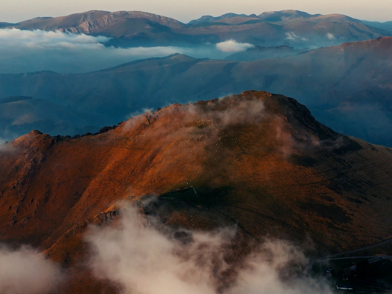
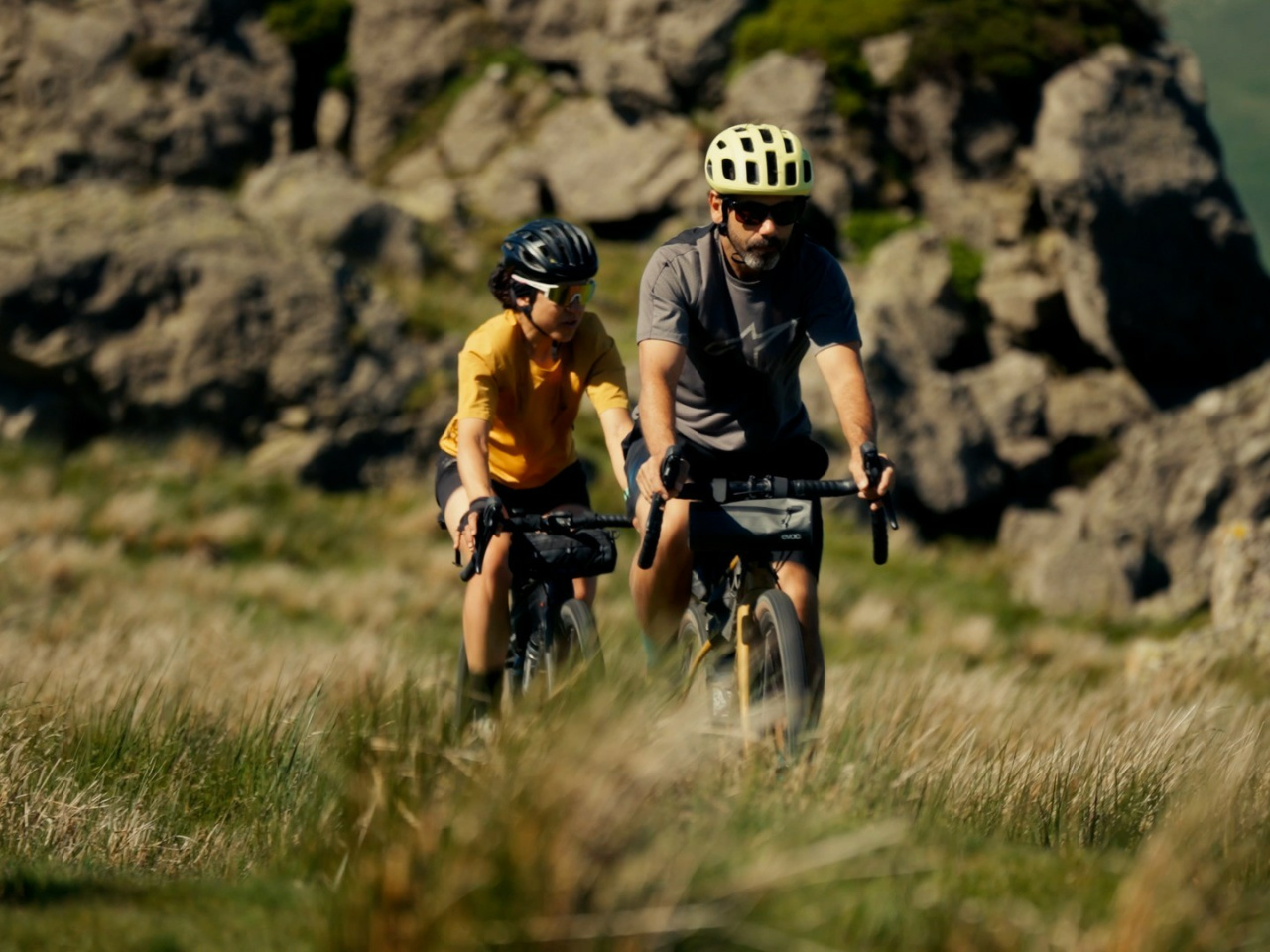
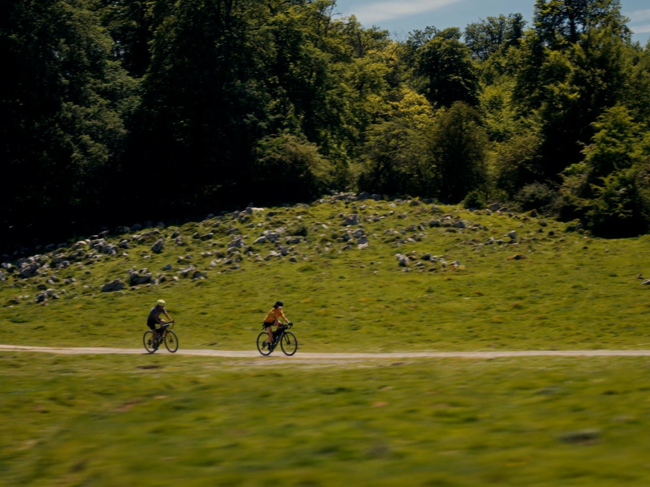
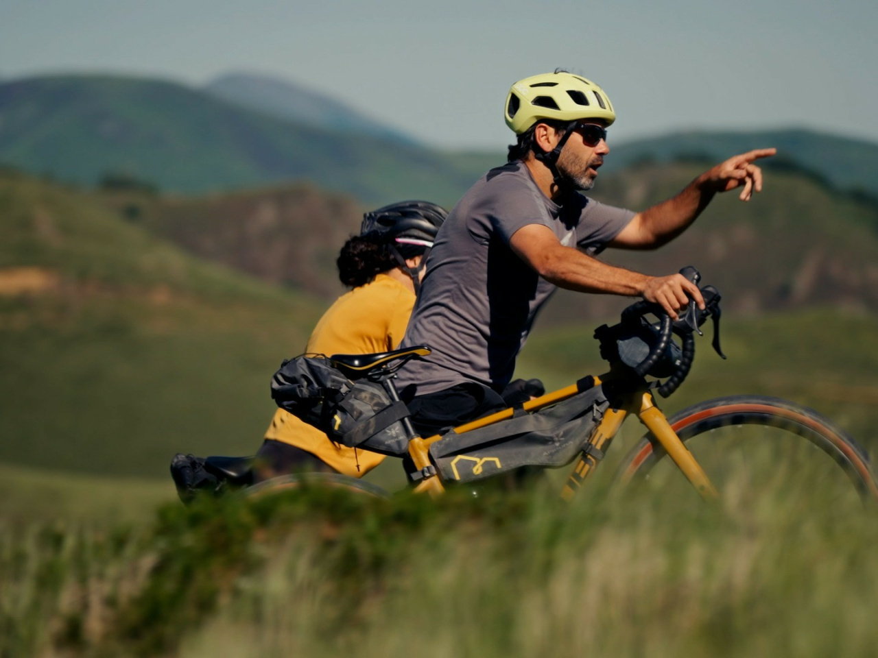
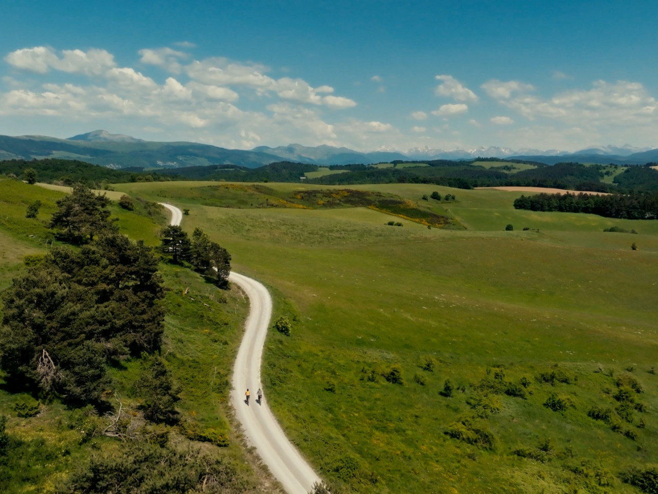
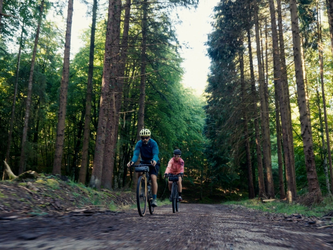
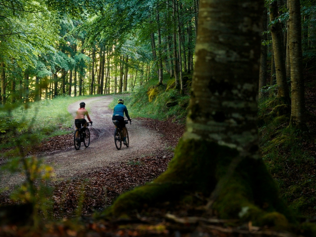
Explore hidden valleys, majestic forests and breathtaking peaks, enjoying nature and local culture on an unforgettable journey.
Heading east from the Esteribar Valley, the path crosses the Errea Pass into the Erro and Arce valleys. The route then overlaps with Eurovelo 3 and the Roman Road of the Pyrenees for several kilometers. At the village of Oroz-Betelu, the trail turns north and then east, beginning the ascent to the high-altitude hamlets of Abaurrea Alta and Baja in the Aezkoa Valley. The following section leads into the Salazar Valley. You will traverse the valley floor along the Salazar River before crossing into the neighboring Roncal Valley via the Igal track and the village of Vidangoz. Turning north through the Roncal Valley toward the high Pyrenean peaks and pastures, the route reaches Pikatua Pass. From here, it descends through the Irati beech forest to the French border, dropping toward Valcarlos in Lower Navarre. A final ascent leads to the Roncesvalles Collegiate Church and the nearby village of Burguete, where the route enters the Quinto Real forest, passing the Eugi reservoir before concluding its journey in the Esteribar Valley.
Weather forecast
Orbara
19°CReal feel 18°C
overcast clouds
-
Tue
22/0921° /14°
45%
-
Wed
23/0924° /16°
43%
-
Thu
24/0928° /20°
37%