GRT-13 SUR: ARGIBIELA - LINZA - BELAGUA

 Back
Back 

Route data
Argibiela
Belagua

Distance
13 Km
Lineal route

Difficulty
Easy

Max. elevation
790 m.

Max. elevation
315 m.
Weather forecast
Sainte-Engrâce
 14°C
14°CReal feel 13°
few clouds
-
Tue
22/09
16° /11°
 62%
62%
-
Wed
23/0925° /18°
45%
-
Thu
24/09
28° /21°
37%
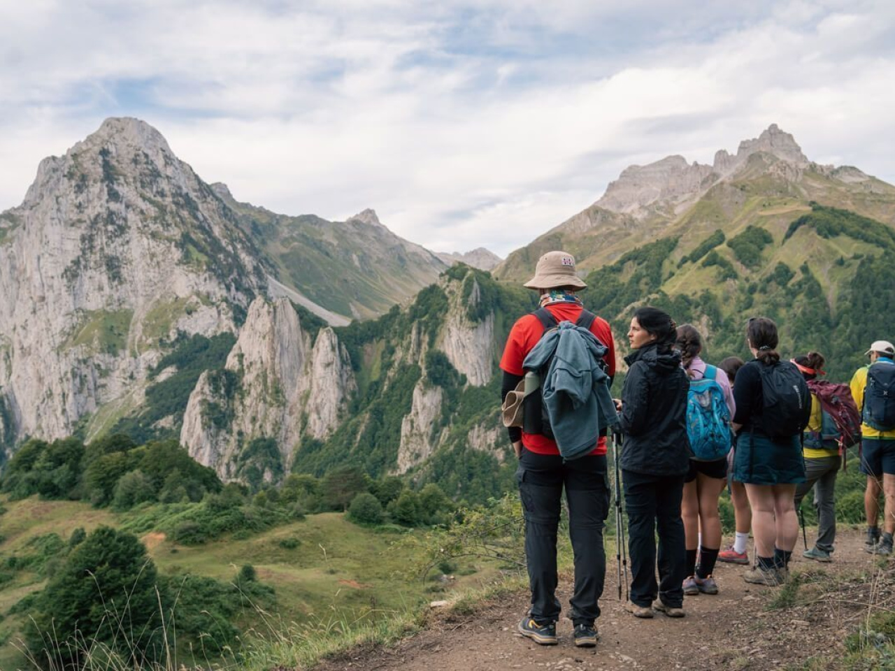
The route connects forests and mountains, where shelters provide huts and local cuisine for nature lovers and hikers.
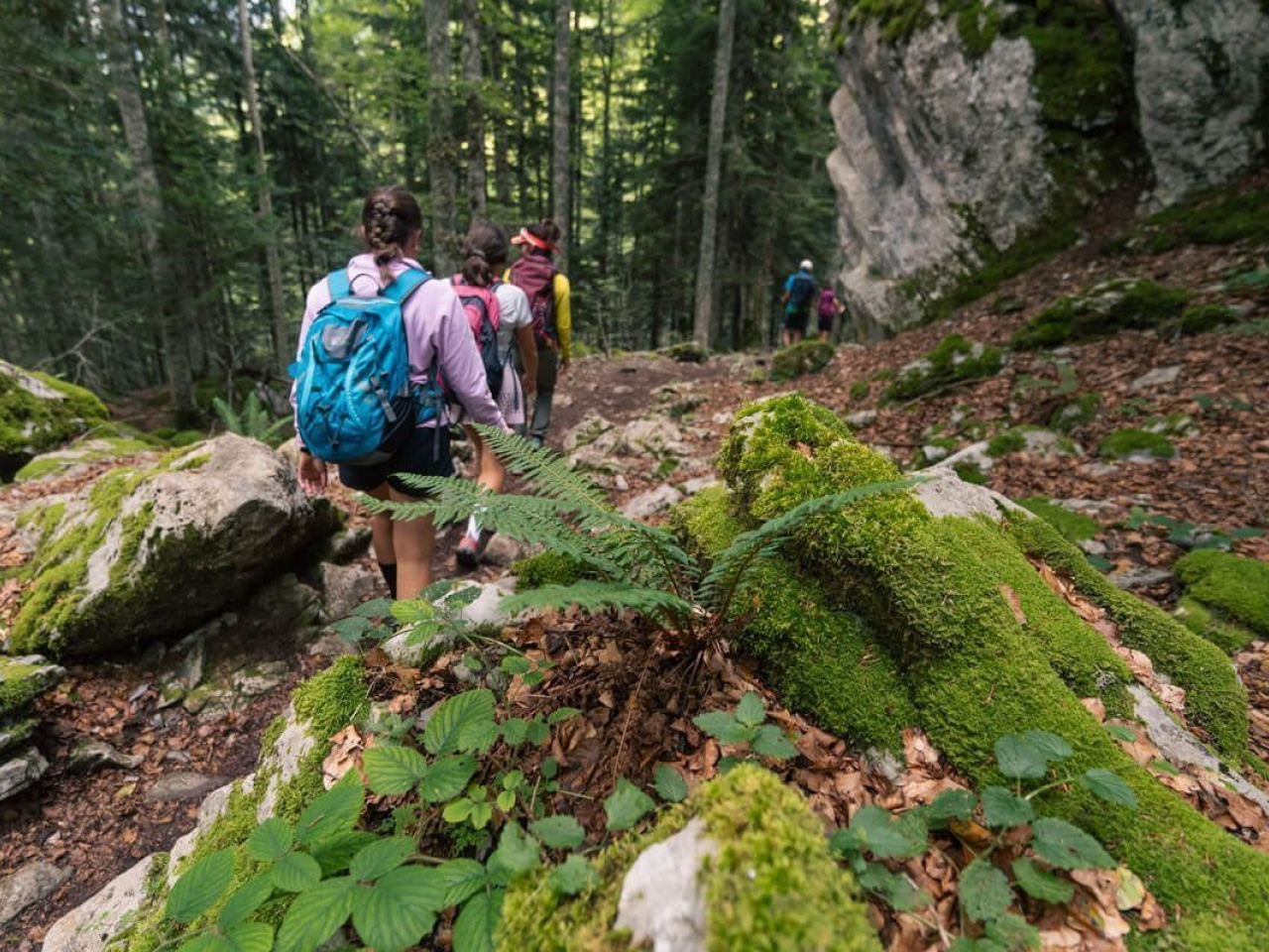
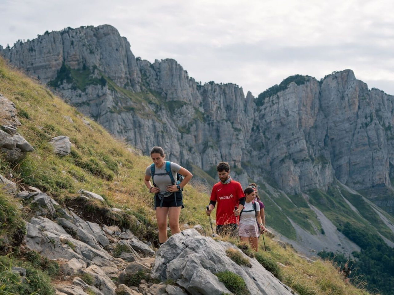
This route links Puerto de los Navarros/Argibiela with Foya del Portillo de Larra. From here, the GR 12 leads to the Belagua refuge. The trail passes the Linza refuge, which offers accommodation and meals. The first section runs through a forest and follows the river after crossing it. The route follows a combination of roads and paths to the Linza refuge, where the high mountain terrain begins.
Weather forecast
Sainte-Engrâce
14°CReal feel 13°C
few clouds
-
Tue
22/0916° /11°
62%
-
Wed
23/0925° /18°
45%
-
Thu
24/0928° /21°
37%