GRT-8 FRANCE: SAINTE ENGRACE - COL DE ERAIZE

 Back
Back 

Route data
Sainte Engrace
Col de Eraize

Distance
6.7 Km
Lineal route

Difficulty
Easy

Max. elevation
1060 m.

Max. elevation
65 m.
Weather forecast
Sainte-Engrâce
 13°C
13°CReal feel 12°
scattered clouds
-
Tue
22/09
15° /10°
 57%
57%
-
Wed
23/0920° /12°
45%
-
Thu
24/09
23° /15°
36%
Discover breathtaking landscapes and trekking routes that link mountain refuges, ideal for nature lovers and outdoor adventure enthusiasts.
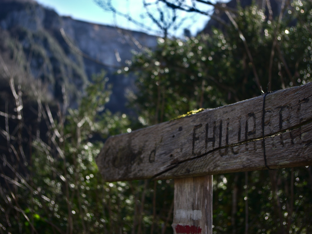
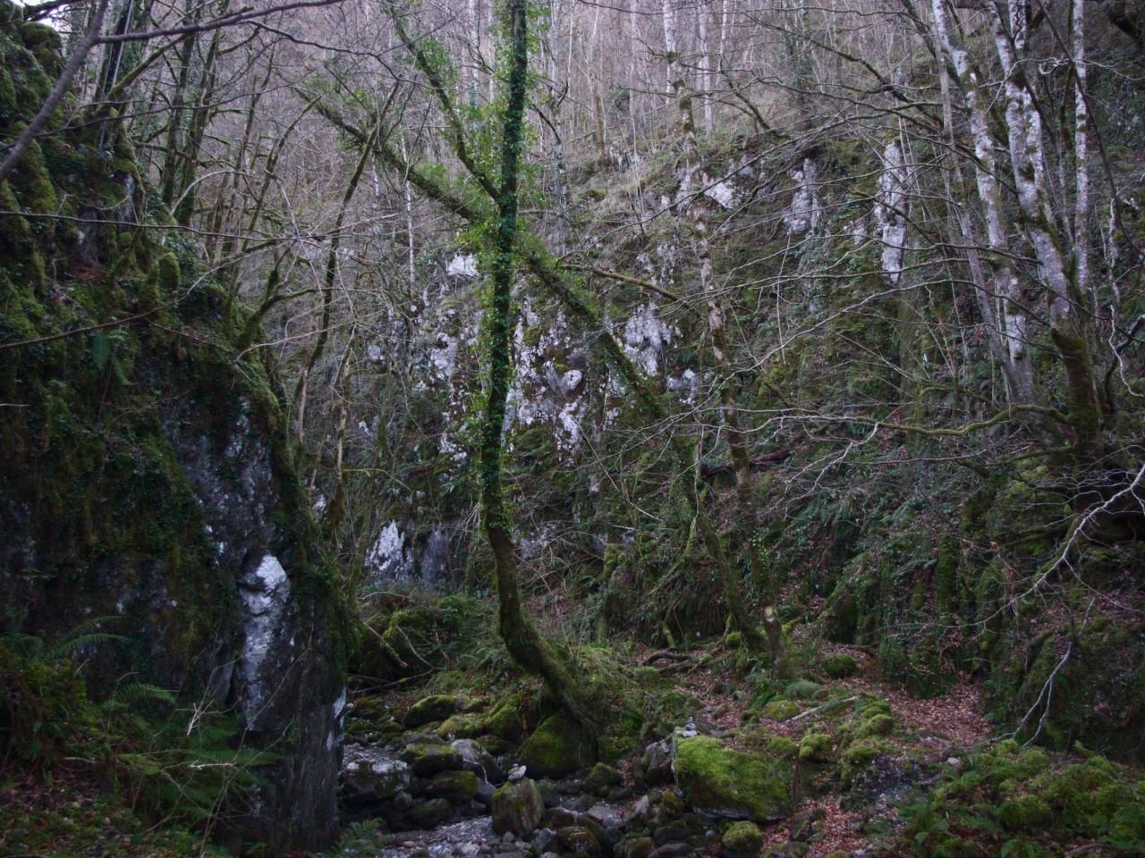
The GRT 12 connects with the French GR 10 200 meters north of Sainte Engrace. It crosses the Ehujarre gorge and ascends to the Eraize (Erraize) pass on the border, adjacent to the NA-1370 Isaba-France road. From here, the Navarran section of the GRT 12 continues to the Belagua refuge, where it joins the GR 12 (Euskalherría trail) and the GR 321 Camino Real. The GRT 12, the GRT 13, and sections of the French GR 10, GR 11, GR 12, and GR 321 in Navarre and Aragon form a network that can be divided into multi-day trekking stages through the Pyrenees near the Belagua, Linza, and Laberouat refuges.
Weather forecast
Sainte-Engrâce
13°CReal feel 12°C
scattered clouds
-
Tue
22/0915° /10°
57%
-
Wed
23/0920° /12°
45%
-
Thu
24/0923° /15°
36%