OCHAGAVÍA - IZALZU TRAIL

 Back
Back 

Route data
Ochagavía / Otsagabia
Ochagavía / Otsagabia

Distance
6.4 Km
Circular route

Difficulty
Very easy

Max. elevation
265 m.

Max. elevation
240 m.
Weather forecast
Oronz/Orontze
 18°C
18°CReal feel 17°
broken clouds
-
Tue
22/09
20° /14°
 51%
51%
-
Wed
23/0926° /18°
42%
-
Thu
24/09
29° /21°
35%
A picturesque route through hazelnut groves and forests, with views of the Muskilda chapel and a charming village at the end, ideal for nature lovers.
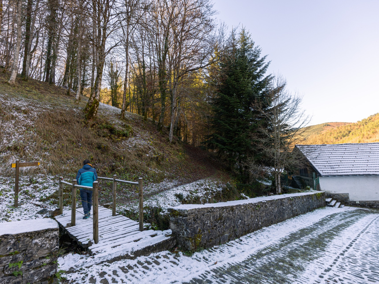
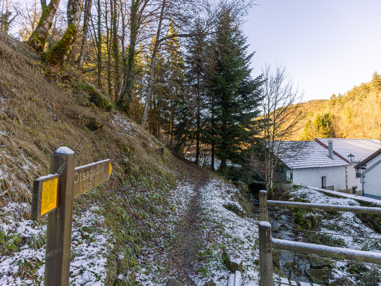
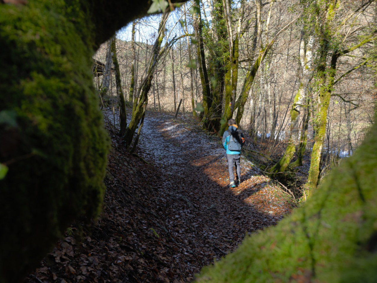
The route connects the villages of Izalzu and Ochagavía along the northern slope of Mount Sarra. It starts at Ochagavía station and climbs gently through hazelnut groves along an old path towards the fields of Mikarro. The summit provides views of the Muskilda chapel among the pine trees. After reaching the highest point (854 m), the trail enters a dense forest of beech, pine, and fir trees, with streams flowing down towards the Anduña River. Finally, it descends gently to the village of Izalzu, where a wooden bridge and cobbled streets await. The route remains accessible all year round, although it is wetter during the rainy season.
Weather forecast
Oronz/Orontze
18°CReal feel 17°C
broken clouds
-
Tue
22/0920° /14°
51%
-
Wed
23/0926° /18°
42%
-
Thu
24/0929° /21°
35%