Rent-a-Wives

 Back
Back 

Route data
Mata de Haya
Mata de Haya

Distance
12.2 Km
Circular route

Difficulty
Easy

Max. elevation
710 m.

Max. elevation
710 m.
Weather forecast
Sainte-Engrâce
 15°C
15°CReal feel 14°
scattered clouds
-
Tue
22/09
17° /12°
 60%
60%
-
Wed
23/0923° /16°
45%
-
Thu
24/09
26° /19°
37%
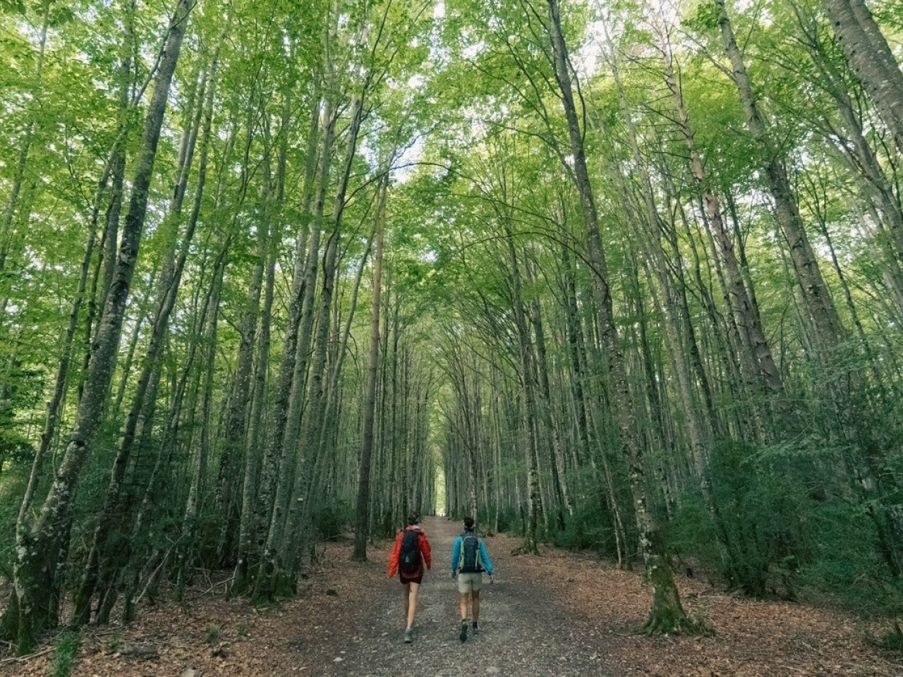
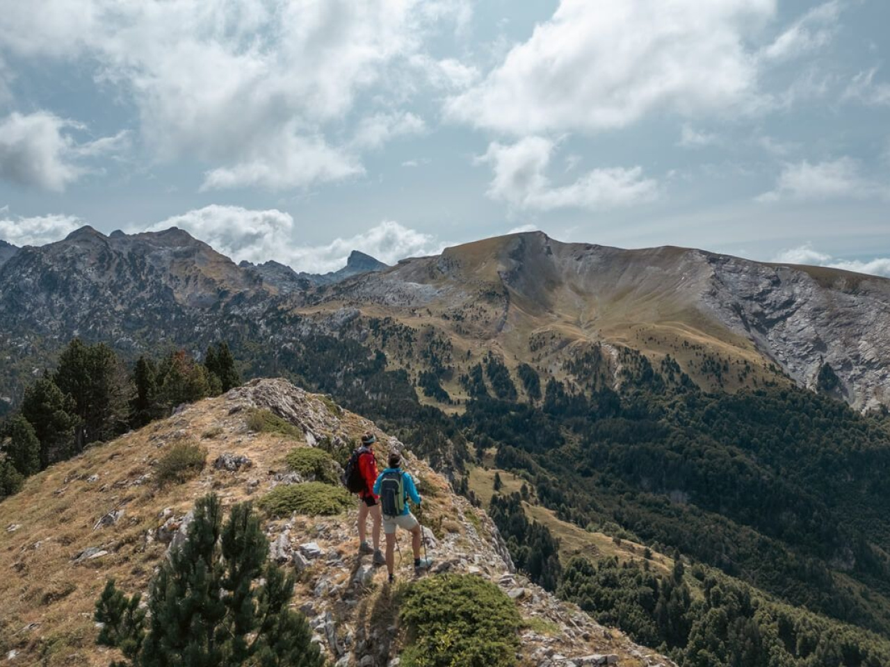
A challenging route offering breathtaking views of beech forests and mountainous landscapes, perfect for nature lovers and hikers.
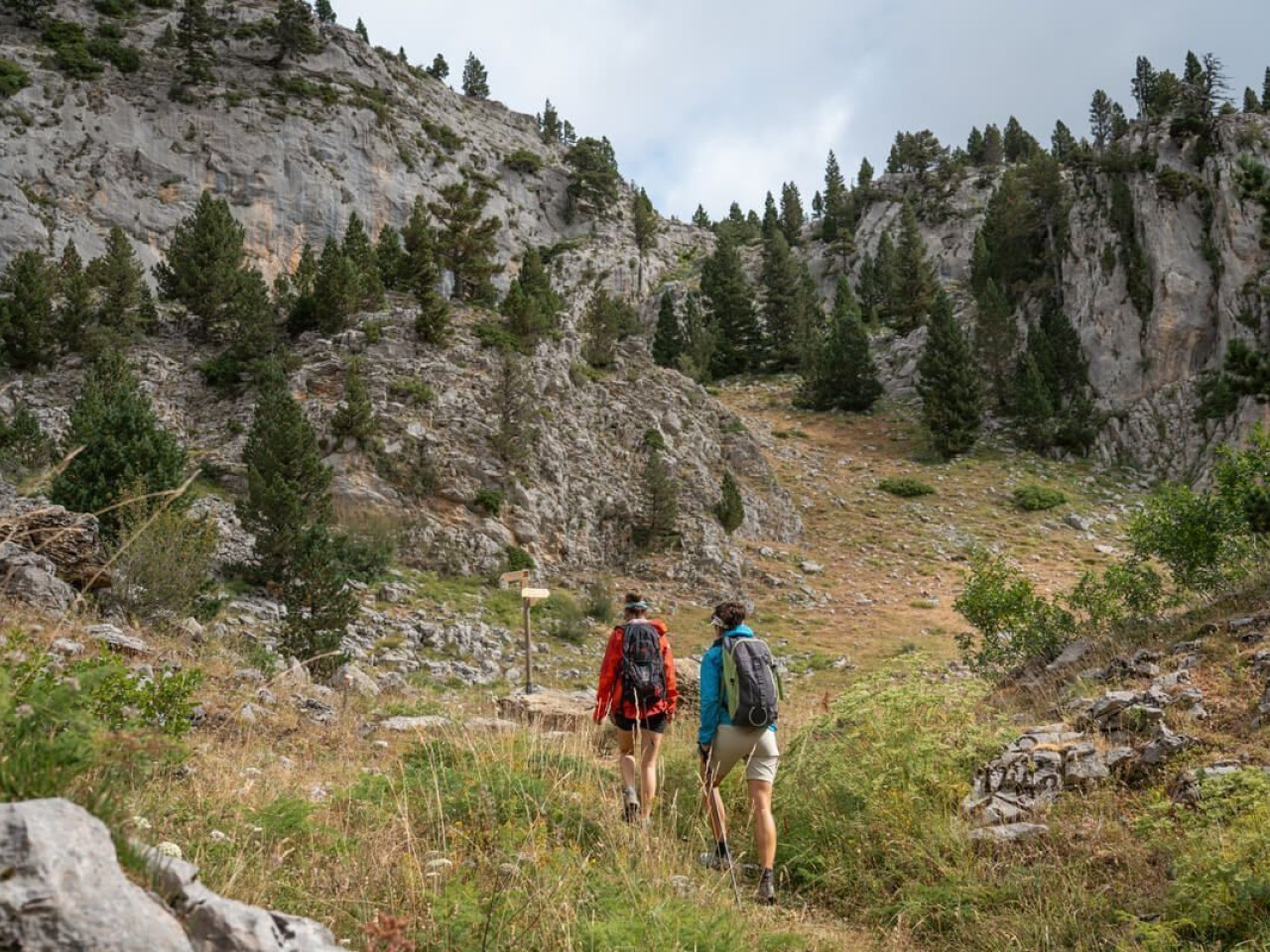
This demanding circular route runs from Rincón de Belagua to the heart of the Larra Nature Reserve, passing through countless forests and wild, rocky high mountain landscapes. Although the distance is short, the steep sections require good physical fitness. From Mata de Haya, the route heads east along a section shared with the SL-NA 81 before flattening out towards the Bitxitoza ravine. After a steep climb to Larrería, it briefly joins the GR 12. The route climbs to another hill, where a beautiful descent through the forest begins. After passing the spectacular Zemeto viewpoint, the route returns to Mata de Haya, first along a trail and then a road.
Weather forecast
Sainte-Engrâce
15°CReal feel 14°C
scattered clouds
-
Tue
22/0917° /12°
60%
-
Wed
23/0923° /16°
45%
-
Thu
24/0926° /19°
37%