ROBRAR TRAIL

 Back
Back 

Route data
Iciz / Izize
Iciz / Izize

Distance
7.6 Km
Circular route

Difficulty
Very easy

Max. elevation
400 m.

Max. elevation
400 m.
Weather forecast
Navascués/Nabaskoze
 16°C
16°CReal feel 16°
broken clouds
-
Tue
22/09
19° /12°
 46%
46%
-
Wed
23/0926° /16°
32%
-
Thu
24/09
28° /17°
22%
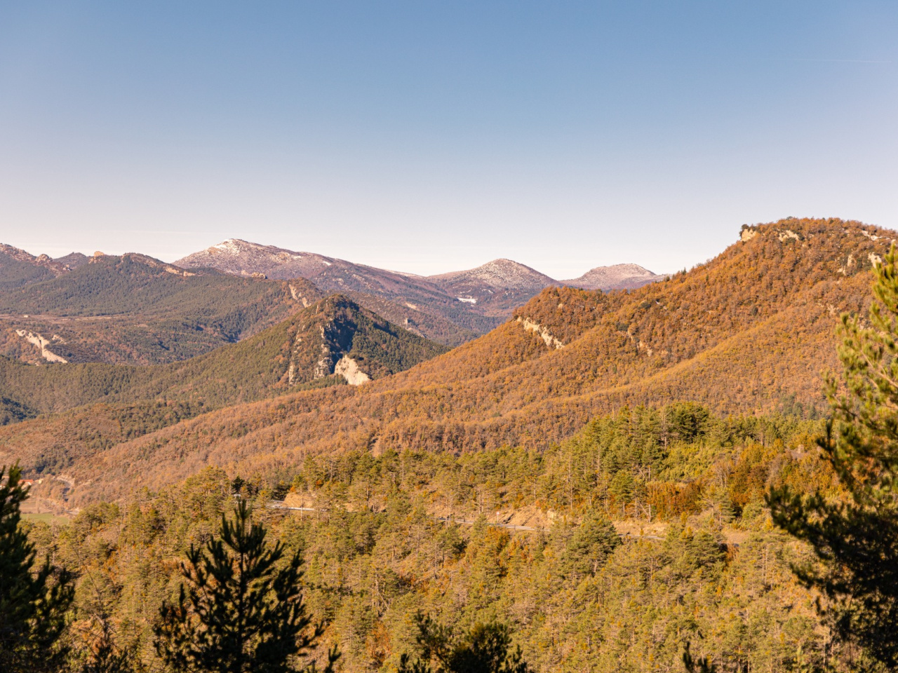
Challenging route with stunning views, ideal for adventurers. Caution in adverse conditions; safer alternative available.
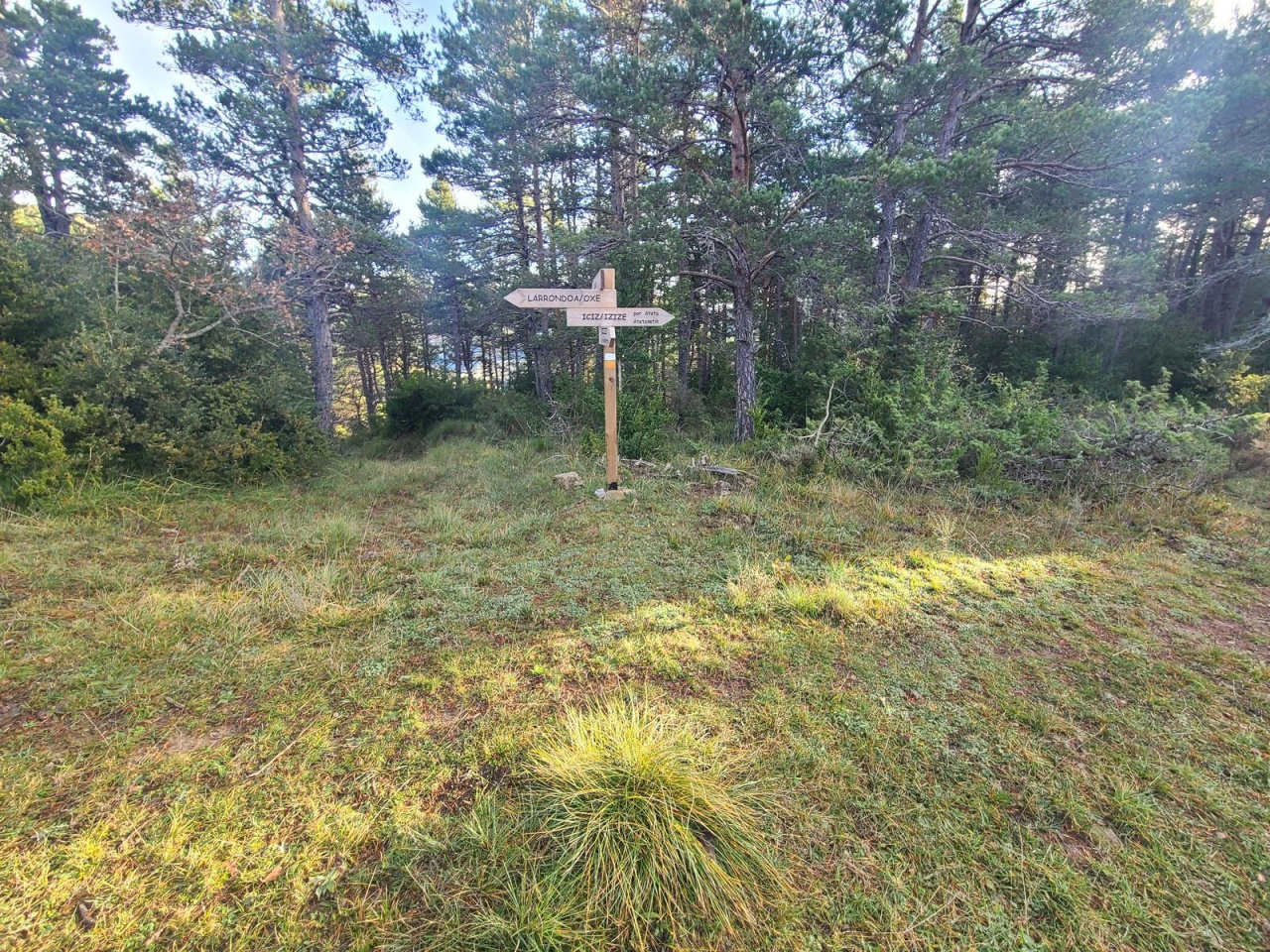
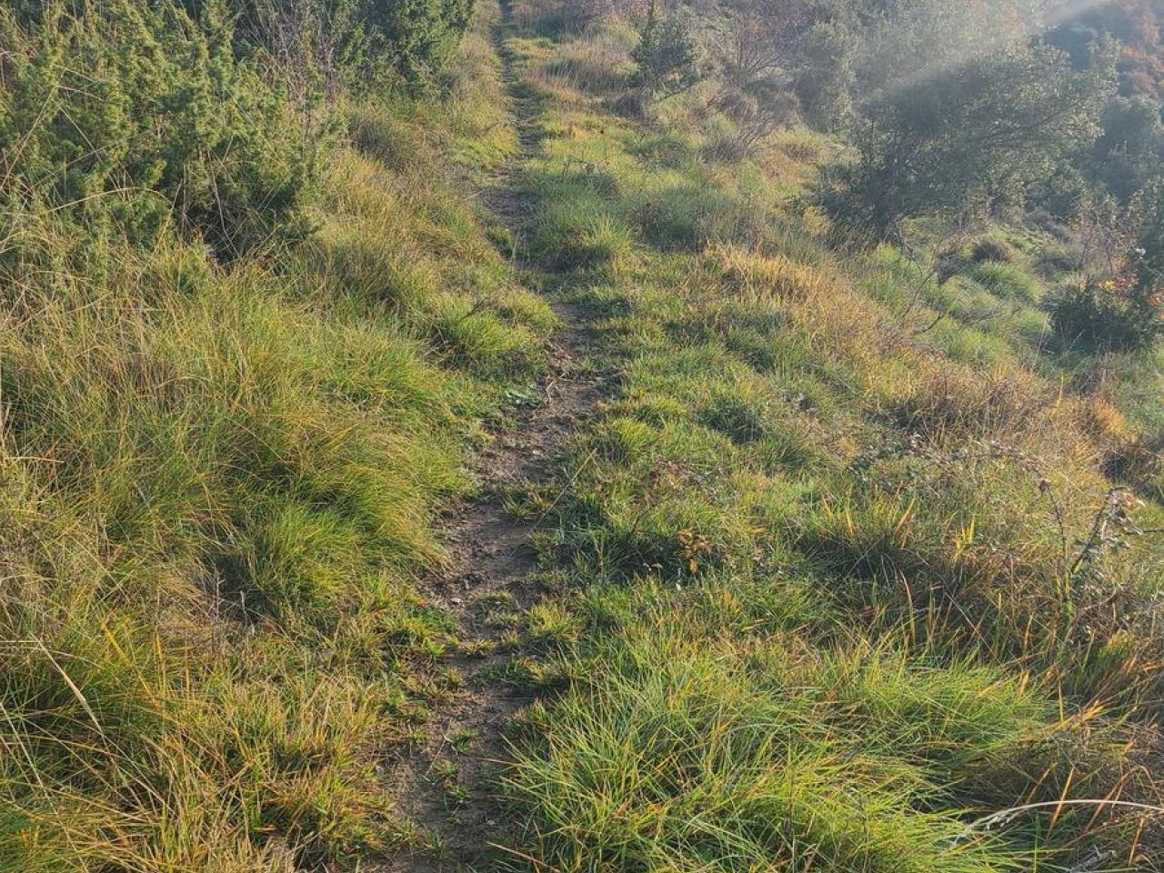
This variant route runs from Iturbeltza to Aztakarri, crossing the summit of Iturrumburru. The descent from the summit to Aztakarri is very steep, making the route unsuitable in adverse conditions such as fog, snow, or ice. In such cases, the GR 12 route provides a better alternative via Iturbeltza, the fountain, Etxamendiko Etxola, Egurtzako Lepoa, and Aztakarri. This latter option is slightly longer but follows a flatter, more comfortable path.
Weather forecast
Navascués/Nabaskoze
16°CReal feel 16°C
broken clouds
-
Tue
22/0919° /12°
46%
-
Wed
23/0926° /16°
32%
-
Thu
24/0928° /17°
22%