SL-NA-50C: Ambulolatz Path

 Back
Back 

Route data
Área de acogida de Arrazola / Arrazolako harreragunea
Área de acogida de Arrazola / Arrazolako harreragunea

Distance
5.8 Km
Circular route

Difficulty
Very easy

Max. elevation
200 m.

Max. elevation
200 m.
Weather forecast
Orbara
 16°C
16°CReal feel 15°
overcast clouds
-
Tue
22/09
20° /12°
 43%
43%
-
Wed
23/0924° /15°
43%
-
Thu
24/09
27° /20°
40%
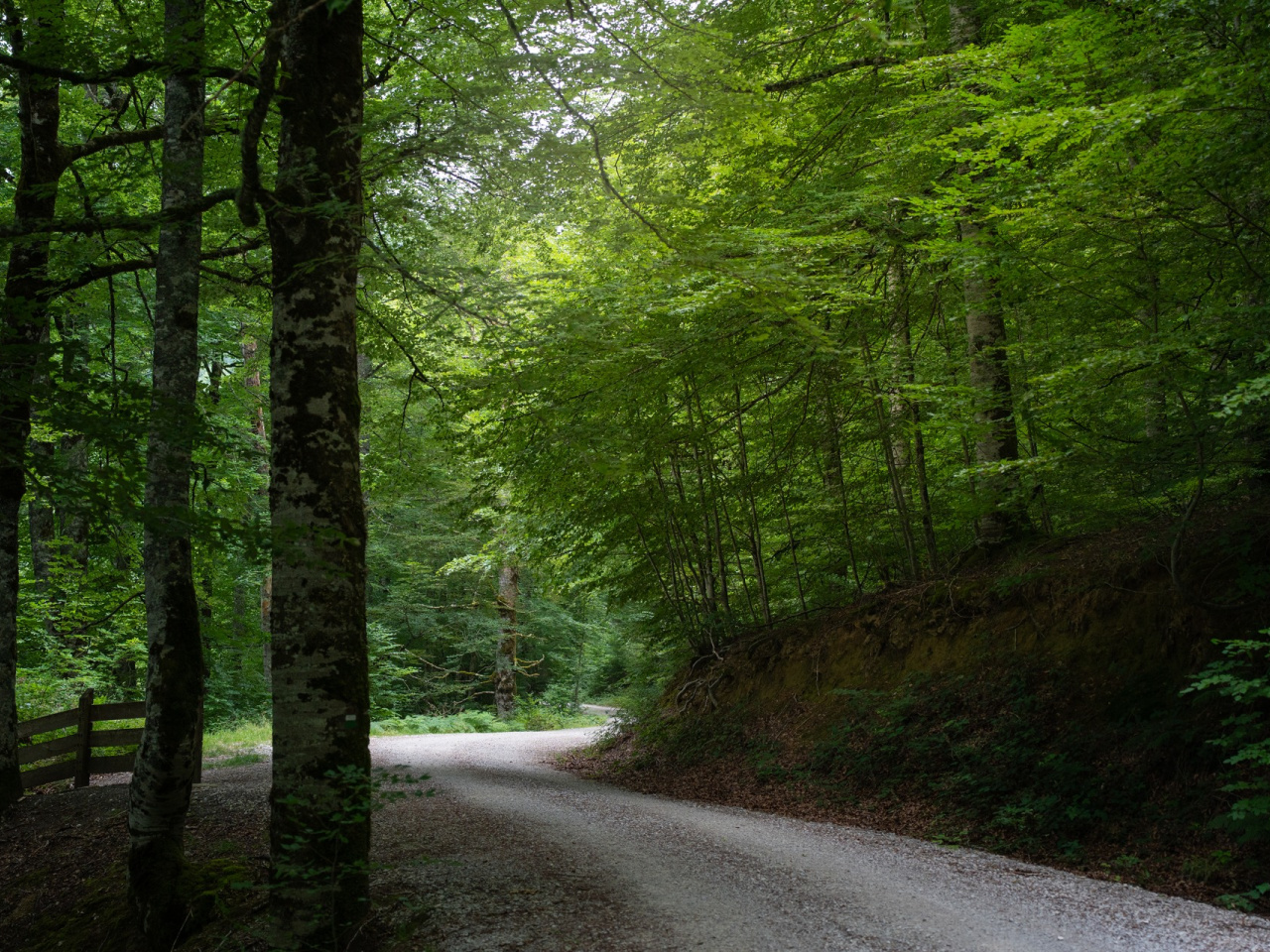
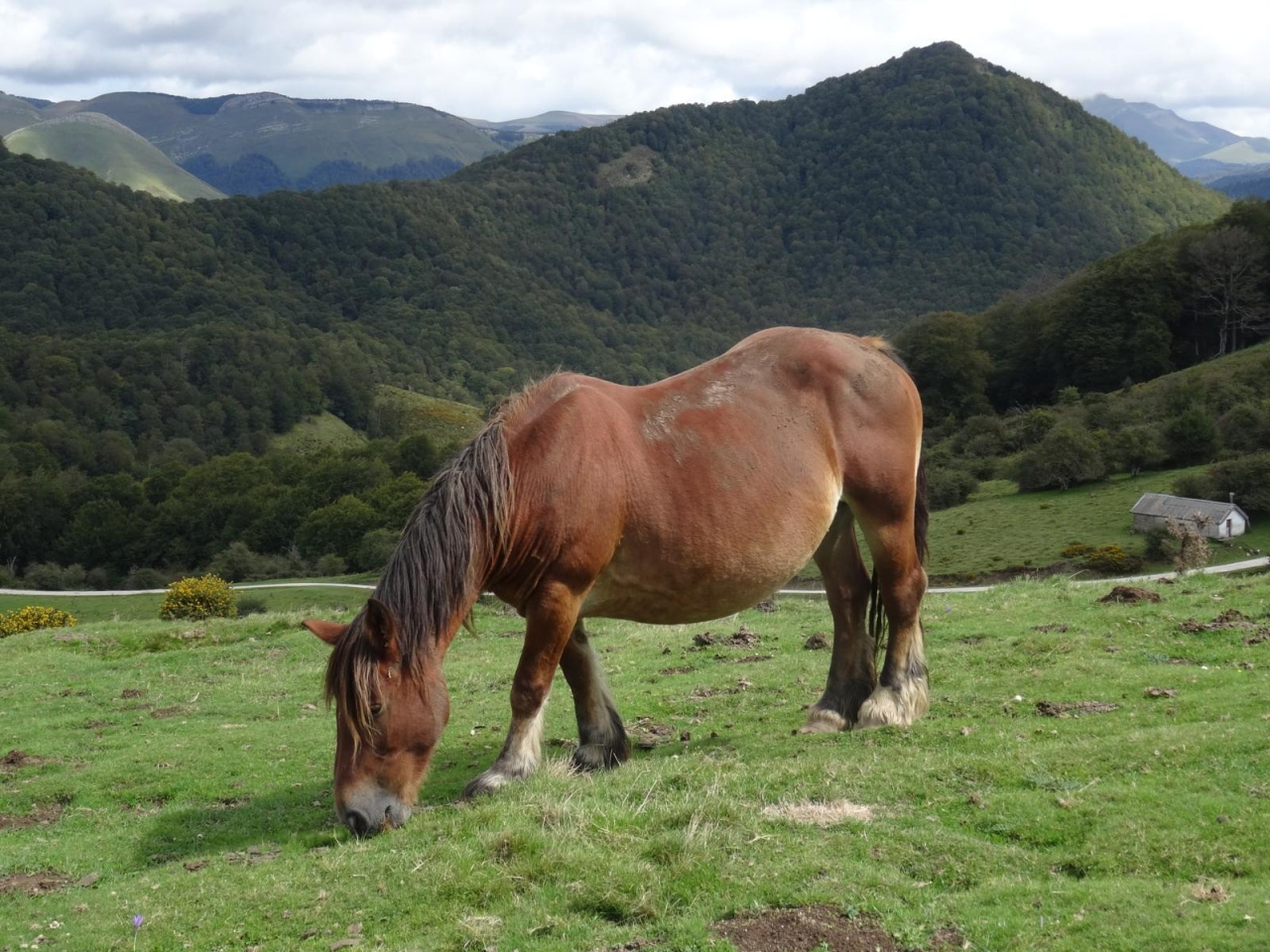
This route combines forests and grasslands, passing sinkholes and a monumental tree. It provides a quiet setting for enjoying nature.
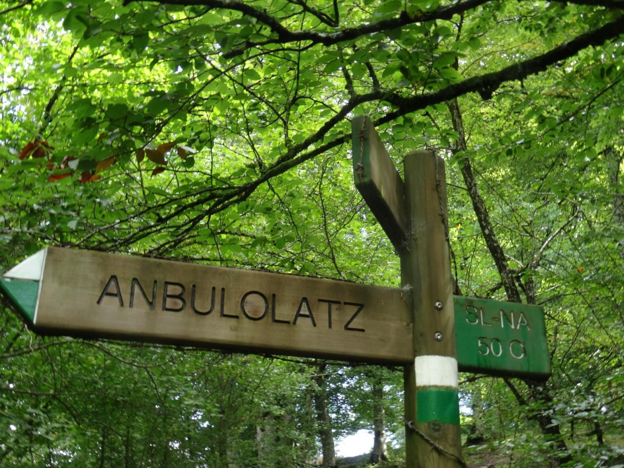
Starting at the Arrazola reception area (835 m), the route shares its initial section with the Azalegi trail. It climbs through the forest toward the Orion pastures, running parallel to the Arrazola stream. At the Orionzilo watering hole (aska), it leaves the Azalegi route and crosses the track to the north, entering a narrow path through the forest to reach the pastures—the highest point of the walk at 1,020 m. A treeless hill leads back into the forest, passing the Anbulolatz sinkholes and the Three-Armed Beech (Natural Monument). Upon reaching the forest track, it follows the initial path back to the start.
Weather forecast
Orbara
16°CReal feel 15°C
overcast clouds
-
Tue
22/0920° /12°
43%
-
Wed
23/0924° /15°
43%
-
Thu
24/0927° /20°
40%