SL-NA-58B: MENDILATZ RESERVE

 Back
Back 

Route data
Refugio de Azpegi / Azpegiko Aterpea
Refugio de Azpegi / Azpegiko Aterpea

Distance
5.6 Km
Circular route

Difficulty
Very easy

Max. elevation
375 m.

Max. elevation
375 m.
Weather forecast
Orbara
 16°C
16°CReal feel 16°
overcast clouds
-
Tue
22/09
20° /12°
 43%
43%
-
Wed
23/0924° /15°
43%
-
Thu
24/09
27° /20°
40%
A challenging climb with 360º panoramic views and a beautiful beech forest on the descent, ideal for nature lovers and hikers.
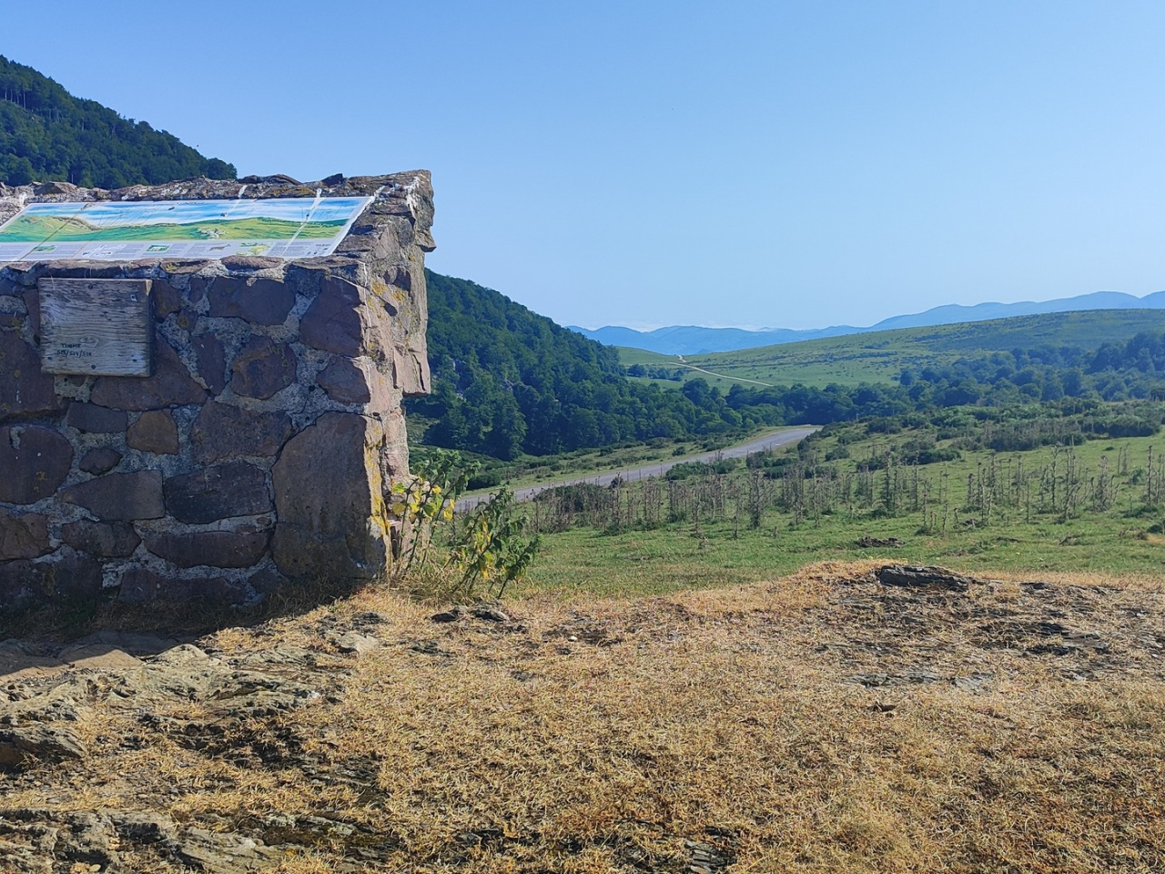
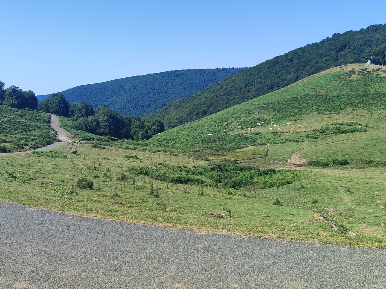
The route begins at the Azpegi refuge (980 m), accessible from the Orbaizeta Factory. It climbs steeply and continuously to the summit of Mount Mendilatz (1,348 m), offering nearly 360-degree panoramic views. The first section follows the Ursario forest route to the Azpegi pass (1,055 m). From the pass, it climbs the open hillside to the summit, the most difficult section of the route. Descend through the forest along the western slope to the old Mustakolarrea path, returning to the Azpegi refuge.
Weather forecast
Orbara
16°CReal feel 16°C
overcast clouds
-
Tue
22/0920° /12°
43%
-
Wed
23/0924° /15°
43%
-
Thu
24/0927° /20°
40%