SL-NA-63: ROAD TO THE MOUNTAINS

 Back
Back 

Route data
Oronz / Oronte
Oronz / Oronte

Distance
3.3 Km
Circular route

Difficulty
Very easy

Max. elevation
165 m.

Max. elevation
165 m.
Weather forecast
Oronz
 18°C
18°CReal feel 17°
overcast clouds
-
Tue
22/09
21° /14°
 50%
50%
-
Wed
23/0926° /18°
40%
-
Thu
24/09
30° /21°
31%
A trail surrounded by nature offering breathtaking views and historical interest, ideal for enjoying the beauty and tranquillity of the surroundings.
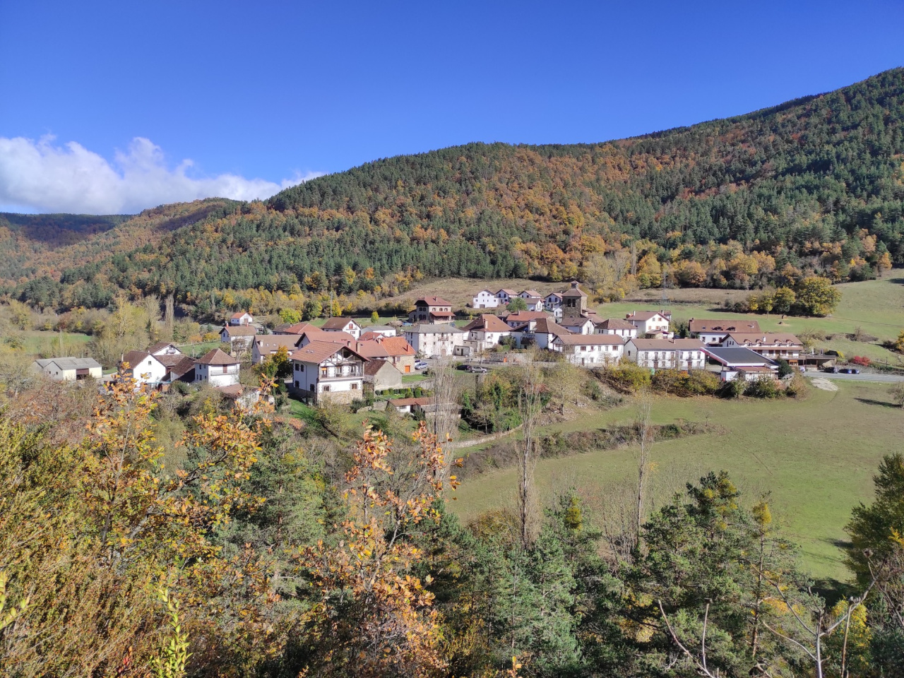
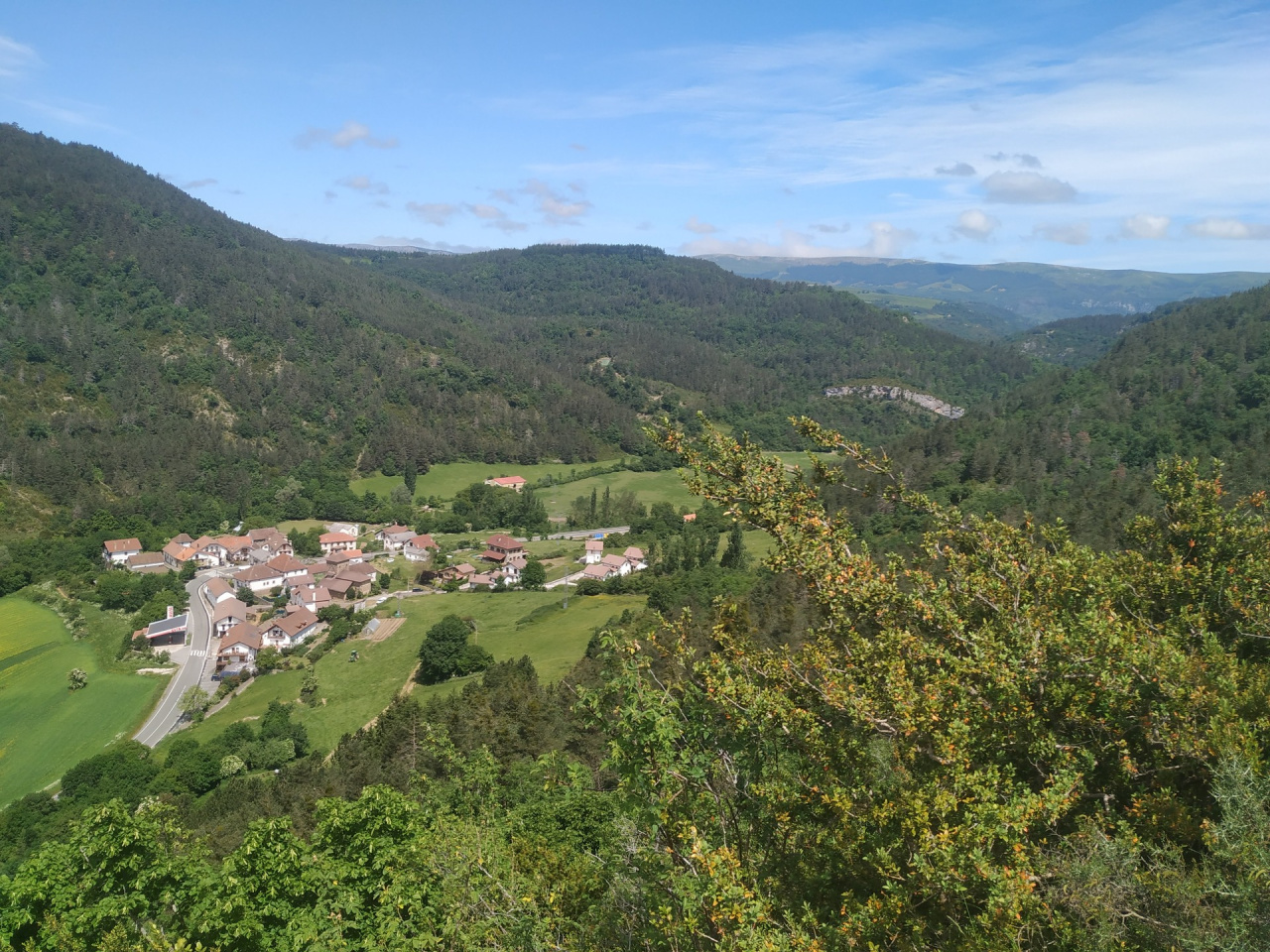
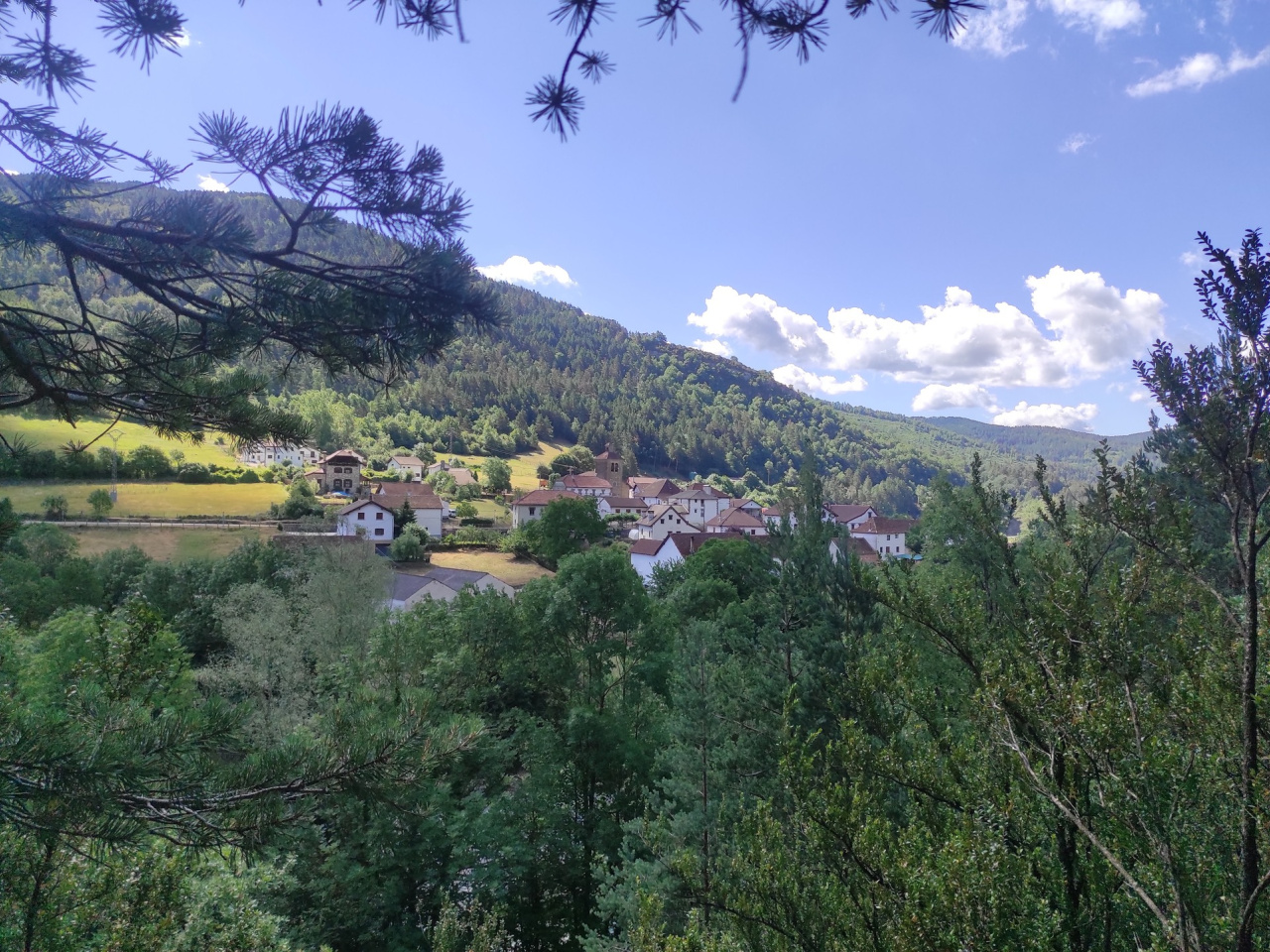
The trail runs through pine, oak, beech, and fir forests, exploring the mountains of this well-kept village in the Salazán region. It begins at the top of the village, near the church, and follows an old bridle path that climbs toward the mountains. The route offers beautiful views of the village and its surroundings, and the cobblestones reveal the historical importance of this trail.
Weather forecast
Oronz
18°CReal feel 17°C
overcast clouds
-
Tue
22/0921° /14°
50%
-
Wed
23/0926° /18°
40%
-
Thu
24/0930° /21°
31%