SL-NA-66 Izalzu

 Back
Back 

Route data
Izalzu
Izalzu

Distance
4 Km
Lineal route

Difficulty
Very easy

Max. elevation
155 m.

Max. elevation
155 m.
Weather forecast
Oronz/Orontze
 18°C
18°CReal feel 17°
broken clouds
-
Tue
22/09
20° /14°
 51%
51%
-
Wed
23/0926° /18°
42%
-
Thu
24/09
29° /21°
35%
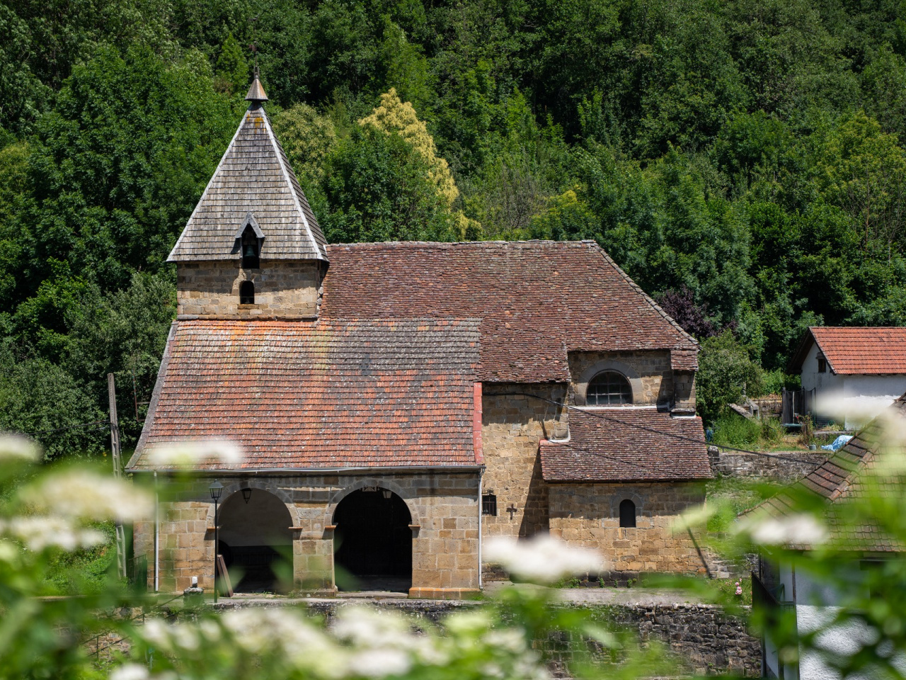
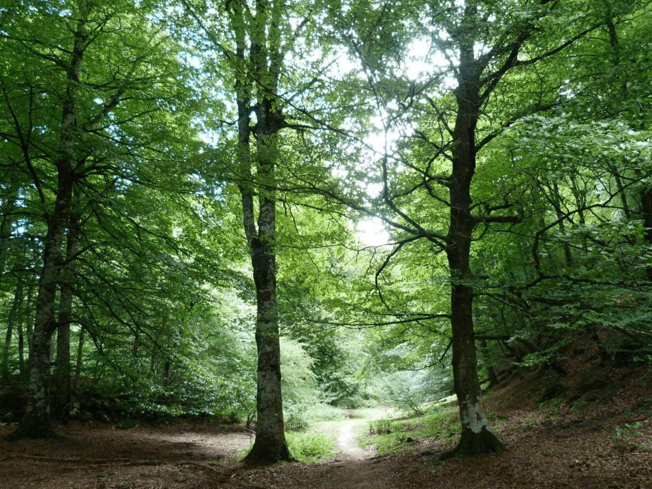
Explore a trail surrounded by lush forests and enjoy nature in a peaceful setting, perfect for hiking enthusiasts.
The route runs through forests. It begins by following the road from the village of Izalzu towards Isaba and France for five minutes before taking a track that climbs the Xinto ravine.
Weather forecast
Oronz/Orontze
18°CReal feel 17°C
broken clouds
-
Tue
22/0920° /14°
51%
-
Wed
23/0926° /18°
42%
-
Thu
24/0929° /21°
35%