SL-NA-68: ABODI HIGHLANDS

 Back
Back 

Route data
Mirador de Tapla / Taplako begiratokia
Mirador de Tapla / Taplako begiratokia

Distance
6.2 Km
Circular route

Difficulty
Very easy

Max. elevation
200 m.

Max. elevation
200 m.
Weather forecast
Garaioa
 15°C
15°CReal feel 14°
overcast clouds
-
Tue
22/09
18° /11°
 47%
47%
-
Wed
23/0921° /14°
43%
-
Thu
24/09
25° /18°
38%
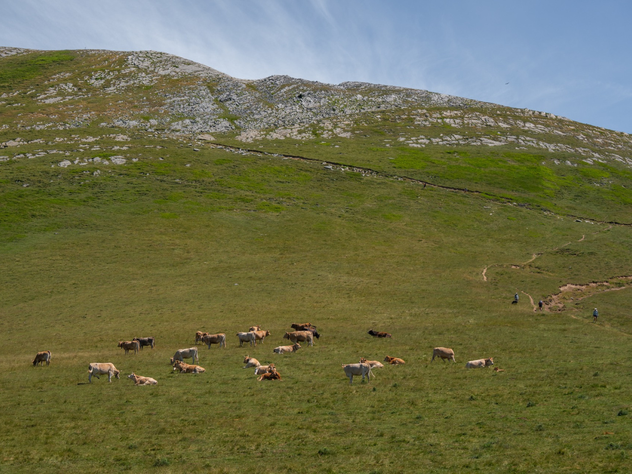
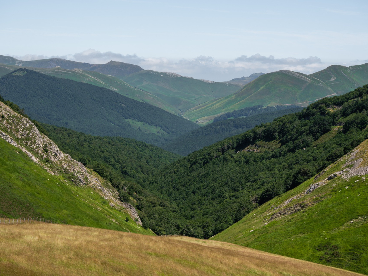
Panoramic tour of the Sierra de Abodi, with 360º views, historic dolmens and a mountain refuge, ideal for nature lovers.
This route provides an aerial tour of the Sierra de Abodi across gentle, grassy terrain and offers continuous 360º views of the entire Navarrese Pyrenees. The trail begins at the Tapla car park, where a short climb leads to the peak of Idorrokia. Several dolmens sit along the route, though they are difficult to distinguish. After passing the summit of Abodi Occidental, the path reaches Paso de las Alforjas, the junction of the GR 11 and 12 trails. The large Arrizabala menhir lies here near a mountain refuge. From this point, the route descends the southern flank toward the road, following the edge of the forest.
Weather forecast
Garaioa
15°CReal feel 14°C
overcast clouds
-
Tue
22/0918° /11°
47%
-
Wed
23/0921° /14°
43%
-
Thu
24/0925° /18°
38%