SL-NA-71: CORNERS OF UZTARROZ

 Back
Back 

Route data
Uztarroz
Uztarroz

Distance
4 Km
Circular route

Difficulty
Very easy

Max. elevation
130 m.

Max. elevation
130 m.
Weather forecast
Urzainqui
 16°C
16°CReal feel 16°
broken clouds
-
Tue
22/09
19° /13°
 56%
56%
-
Wed
23/0925° /17°
43%
-
Thu
24/09
28° /20°
37%
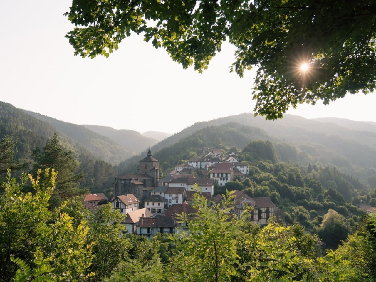
Discover a charming village with traditional architecture, surrounded by forests and breathtaking views, ideal for a peaceful and picturesque excursion.
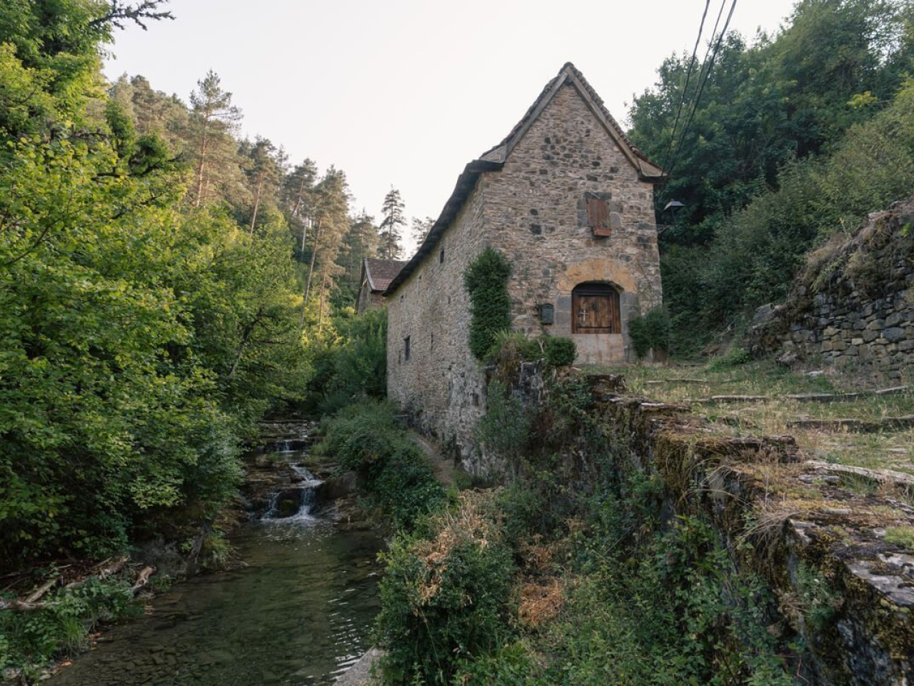
This easy excursion around Uztárroz offers stunning views of the village centre and the surrounding lush forests. Well-preserved traditional architecture makes Uztárroz one of the most beautiful villages in the Pyrenees. The route passes through the Iribarne neighbourhood, the cemetery, and the Patrocinio chapel before reaching the Zabalea neighbourhood, where a path runs parallel to the NA-140 road. It returns to Uztárroz through the Irigoine neighbourhood and finishes with a loop through the Amuku ravine, following a section shared with the Camino Real.
Weather forecast
Urzainqui
16°CReal feel 16°C
broken clouds
-
Tue
22/0919° /13°
56%
-
Wed
23/0925° /17°
43%
-
Thu
24/0928° /20°
37%