SL-NA-81: Female Renters

 Back
Back 

Route data
Mata de Haya
Mata de Haya

Distance
4.5 Km
Circular route

Difficulty
Very easy

Max. elevation
90 m.

Max. elevation
90 m.
Weather forecast
Sainte-Engrâce
 15°C
15°CReal feel 14°
scattered clouds
-
Tue
22/09
17° /12°
 60%
60%
-
Wed
23/0923° /16°
45%
-
Thu
24/09
26° /19°
37%
Discover an exceptional forest and meadows on an accessible trail, ideal for enjoying nature and breathtaking views in a peaceful setting.
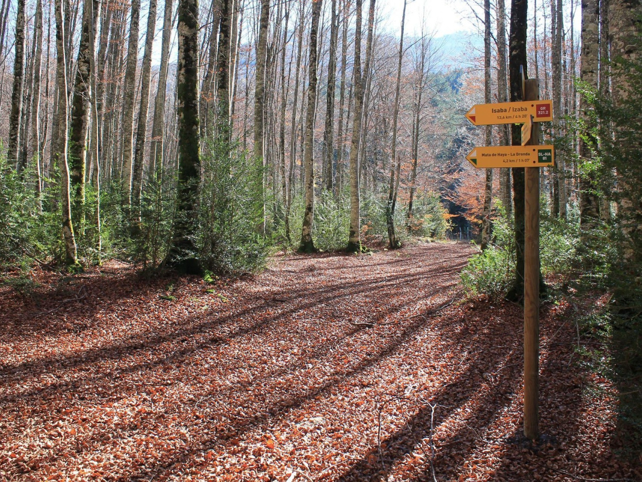
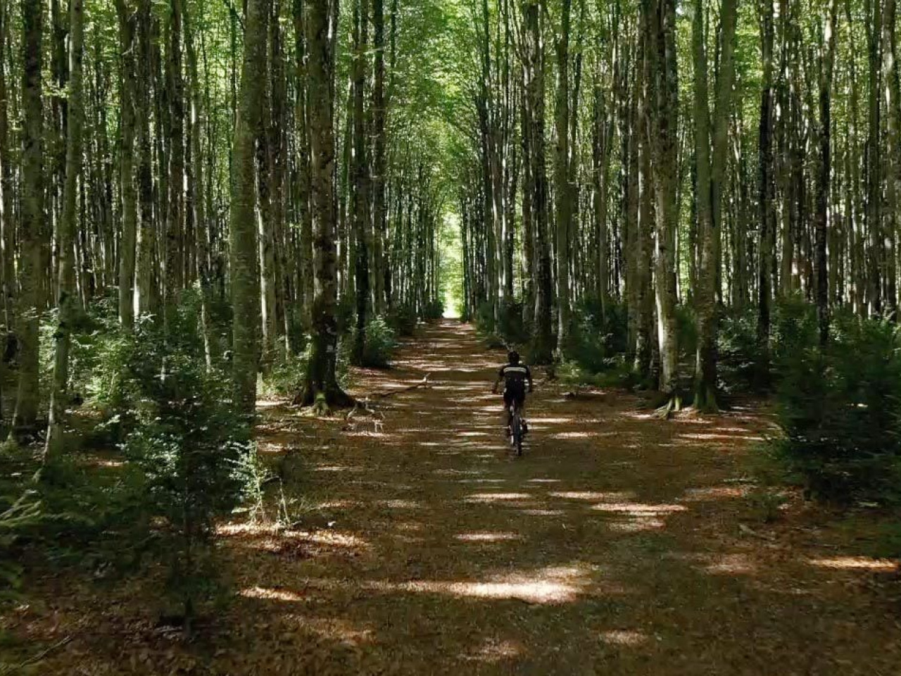
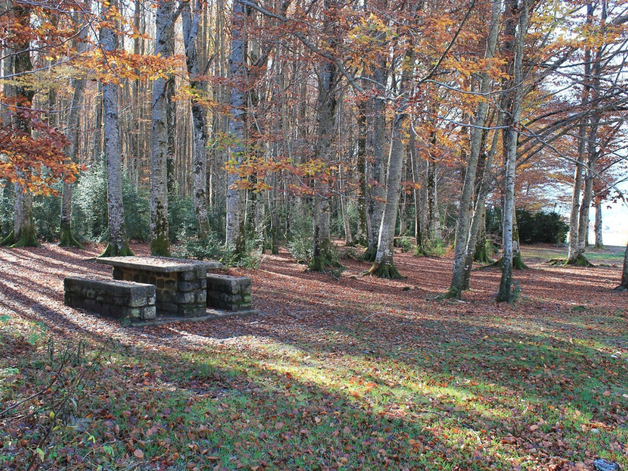
Mata de Haya, also known as Rincón de Belagua, contains some of the best-preserved forest in the western Pyrenees. This local trail suits all ages and runs through the forest and meadows near Mata de Haya along easy, pleasant paths. The route climbs to La Dronda, where the trail turns 180 degrees towards Bitxitoza before returning to Mata de Haya. White and green signs mark the route, though some sections share paths with GR® (white-red-green) and PR® (white-yellow-green) trails.
Weather forecast
Sainte-Engrâce
15°CReal feel 14°C
scattered clouds
-
Tue
22/0917° /12°
60%
-
Wed
23/0923° /16°
45%
-
Thu
24/0926° /19°
37%