SL-NA-82: ZEMETO

 Back
Back 

Route data
Refugio de Belagua / Belaguako Aterpea
Refugio de Belagua / Belaguako Aterpea

Distance
4 Km
Circular route

Difficulty
Very easy

Max. elevation
175 m.

Max. elevation
175 m.
Weather forecast
Sainte-Engrâce
 15°C
15°CReal feel 14°
scattered clouds
-
Tue
22/09
17° /12°
 60%
60%
-
Wed
23/0923° /16°
45%
-
Thu
24/09
26° /19°
37%
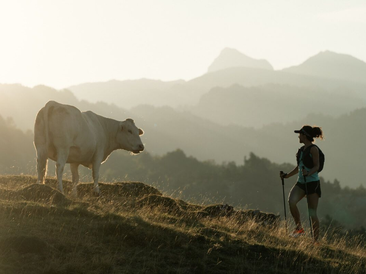
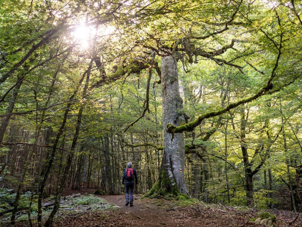
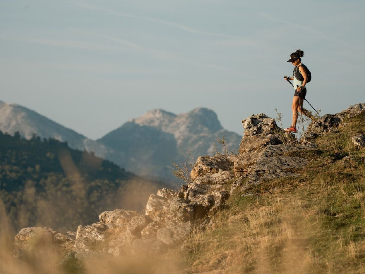
This trail offers panoramic views, large beech trees and easy access to the high mountains, ideal for enjoying nature and tranquillity.
This trail explores the upper part of the Belagua Valley and offers a glimpse of the high mountains in a relatively easy way. The route features large trees and a spectacular panoramic viewpoint over the valley. It begins at the Belagua Refuge, descends to the Eskilzarra plain, and continues towards the narrow Zemeto pass, where it turns west. Shortly afterwards, it passes the turn-off to the viewpoint. The route continues through the forest until it almost reaches the road to France and ends as it ascends halfway up the hillside to the Belagua Refuge.
Weather forecast
Sainte-Engrâce
15°CReal feel 14°C
scattered clouds
-
Tue
22/0917° /12°
60%
-
Wed
23/0923° /16°
45%
-
Thu
24/0926° /19°
37%