SO1 - Zubigoena

 Back
Back 

Route data
Ochagavía / Otsagabia
Ochagavía / Otsagabia

Distance
2.1 Km
Circular route

Difficulty
Very easy

Max. elevation
45 m.

Max. elevation
45 m.
Weather forecast
Oronz/Orontze
 17°C
17°CReal feel 16°
overcast clouds
-
Tue
22/09
20° /13°
 50%
50%
-
Wed
23/0925° /17°
42%
-
Thu
24/09
29° /21°
34%
An easy walk along the river, with landscapes of hazelnut trees and stone walls, ideal for enjoying nature and local history.
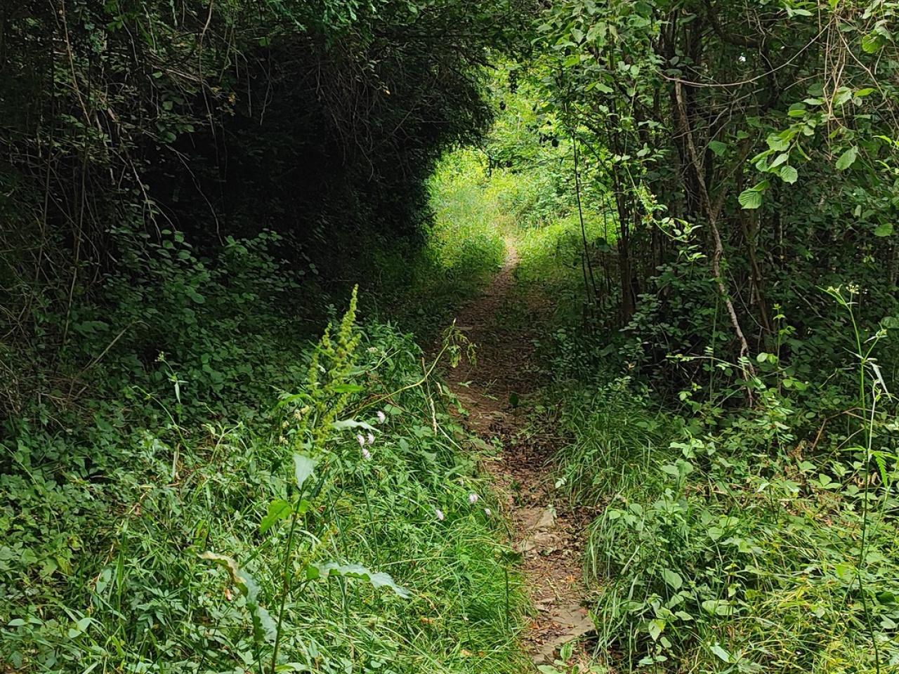
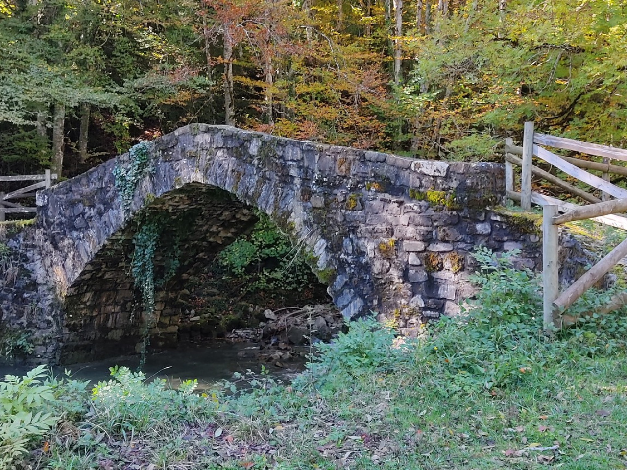
This easy round-trip route runs parallel to the Zatoia River along gentle slopes. This trail linked the village of Otsagabia with the fields and farmhouses of the Cuatro Bordas area. It crosses the river twice, via the ruined Zubibarrena bridge and the Zubigoena bridge at the end of the route. The path leads through hazelnut trees, holm oaks, and beautiful stone walls line much of the way.
Weather forecast
Oronz/Orontze
17°CReal feel 16°C
overcast clouds
-
Tue
22/0920° /13°
50%
-
Wed
23/0925° /17°
42%
-
Thu
24/0929° /21°
34%