SO2 - UDI - ZUBIBARRENA

 Back
Back 

Route data
Ochagavía / Otsagabia
Ochagavía / Otsagabia

Distance
5.2 Km
Circular route

Difficulty
Very easy

Max. elevation
260 m.

Max. elevation
260 m.
Weather forecast
Oronz
 17°C
17°CReal feel 16°
overcast clouds
-
Tue
22/09
20° /13°
 50%
50%
-
Wed
23/0925° /17°
42%
-
Thu
24/09
29° /21°
34%
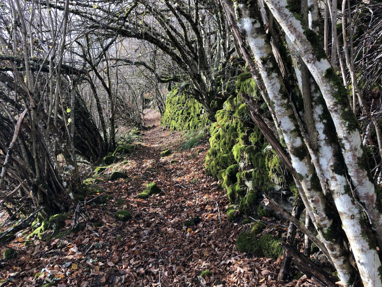
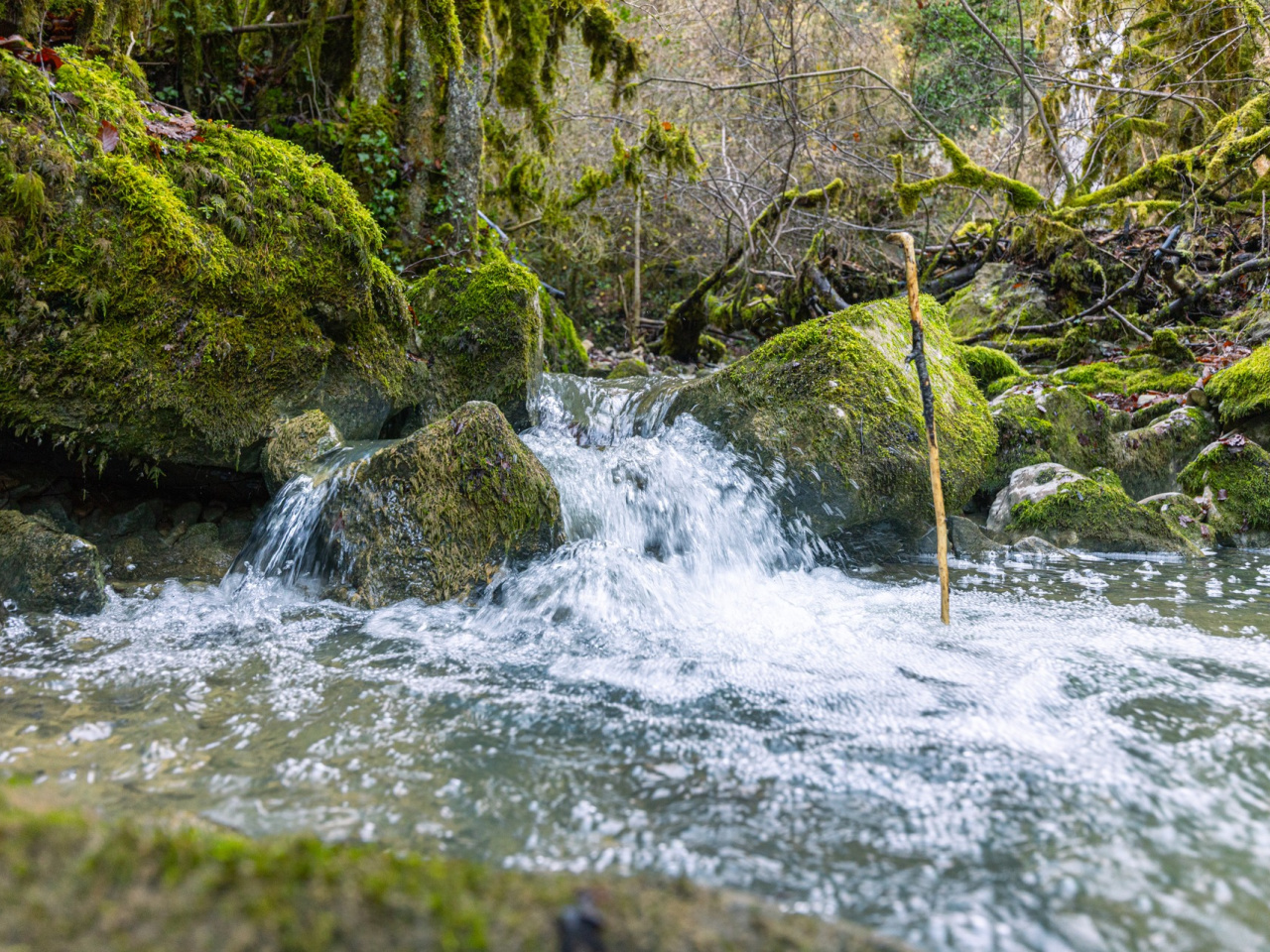
An easy circular route for enjoying the beauty of nature, with swimming spots and forests.
This simple and pleasant circular route begins on the path leading to the Zubigoena bridge. After about a kilometer, it crosses the Zubibarrena stream, passing a small bathing area on the Zatoia river and the remains of the old bridge. A few meters later, the path reaches a crossroads next to a stone aska, where it turns left to continue the gentle ascent towards Mount Udi. The route crosses the fields of Burregia and an extensive fir forest, then joins a gravel track that climbs for about 700 meters. From this point, the trail turns left to descend through the Zubibarrena ravine to Otsagabia through beech and oak forests.
Weather forecast
Oronz
17°CReal feel 16°C
overcast clouds
-
Tue
22/0920° /13°
50%
-
Wed
23/0925° /17°
42%
-
Thu
24/0929° /21°
34%