Sorogain Megalithic Route

 Back
Back 

Route data
Alberge de Sorogain /Sorogaineko Aterpea
Alberge de Sorogain /Sorogaineko Aterpea

Distance
9.2 Km
Lineal route

Difficulty
Easy

Max. elevation
260 m.

Max. elevation
260 m.
Weather forecast
Urepel
 16°C
16°CReal feel 16°
broken clouds
-
Tue
22/09
20° /13°
 49%
49%
-
Wed
23/09
21° /12°
44%
-
Thu
24/09
26° /17°
35%
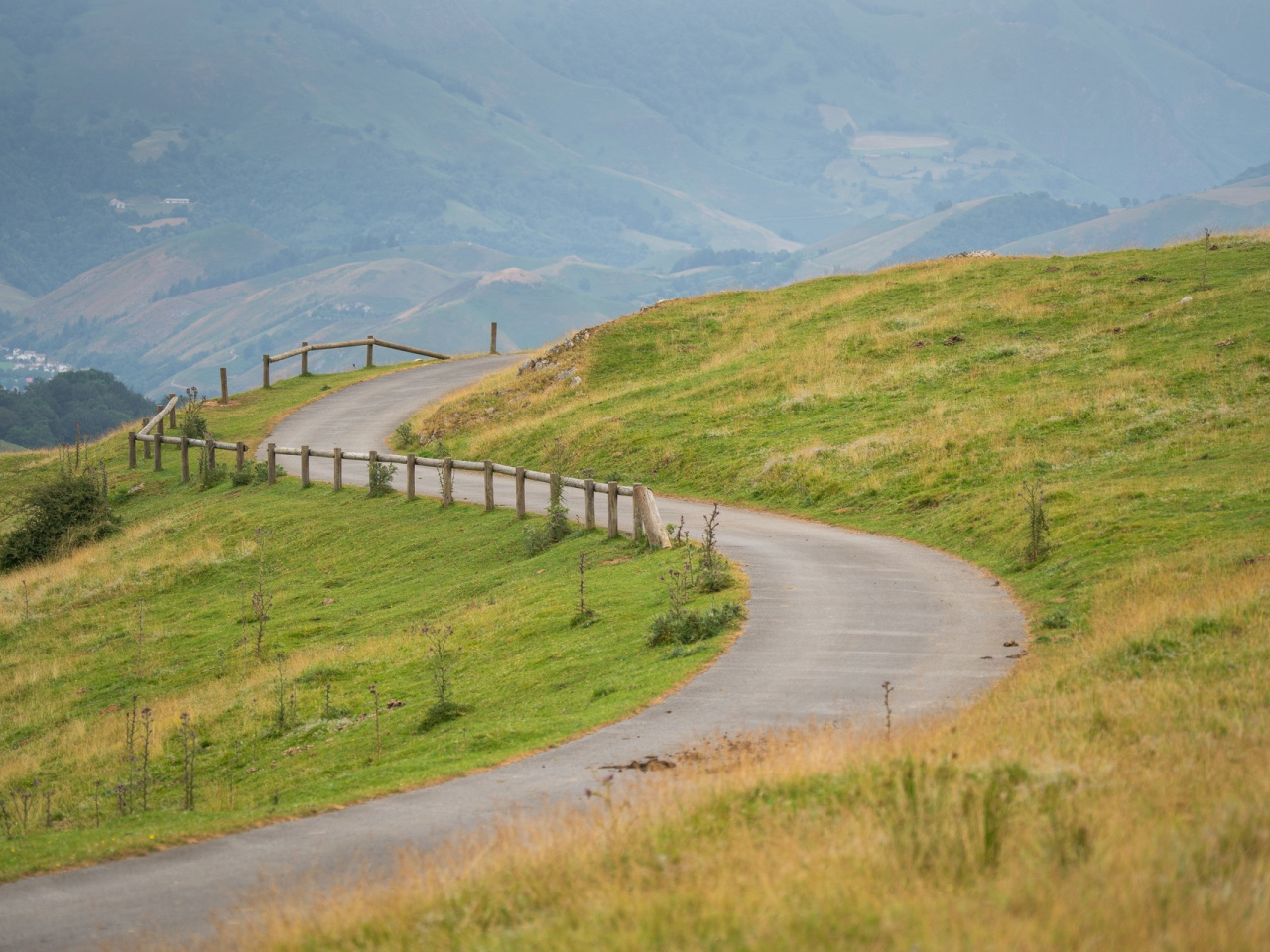
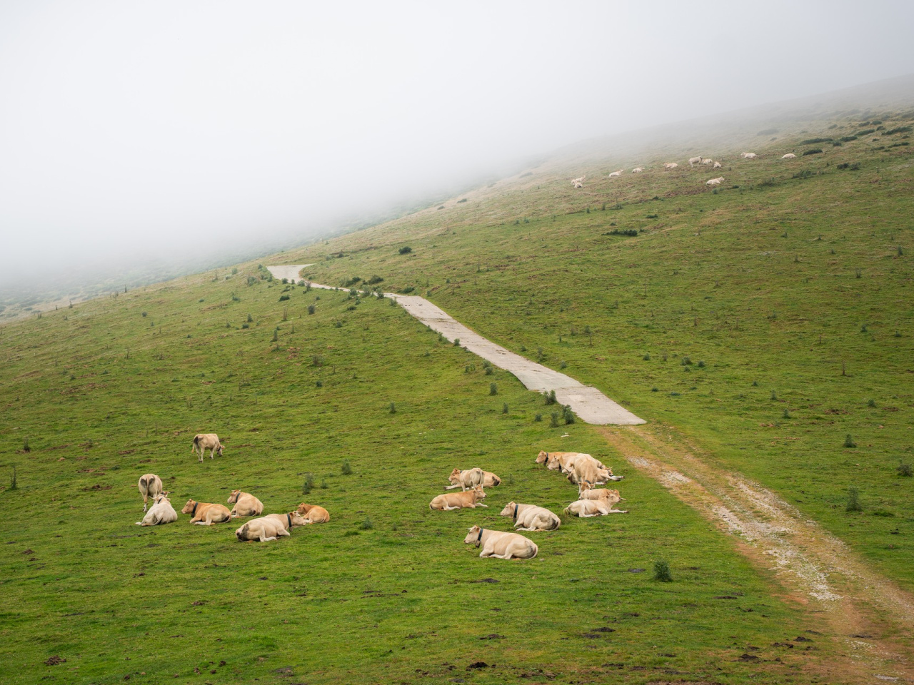
A 9 km route connecting impressive prehistoric monuments, ideal for history and nature lovers.
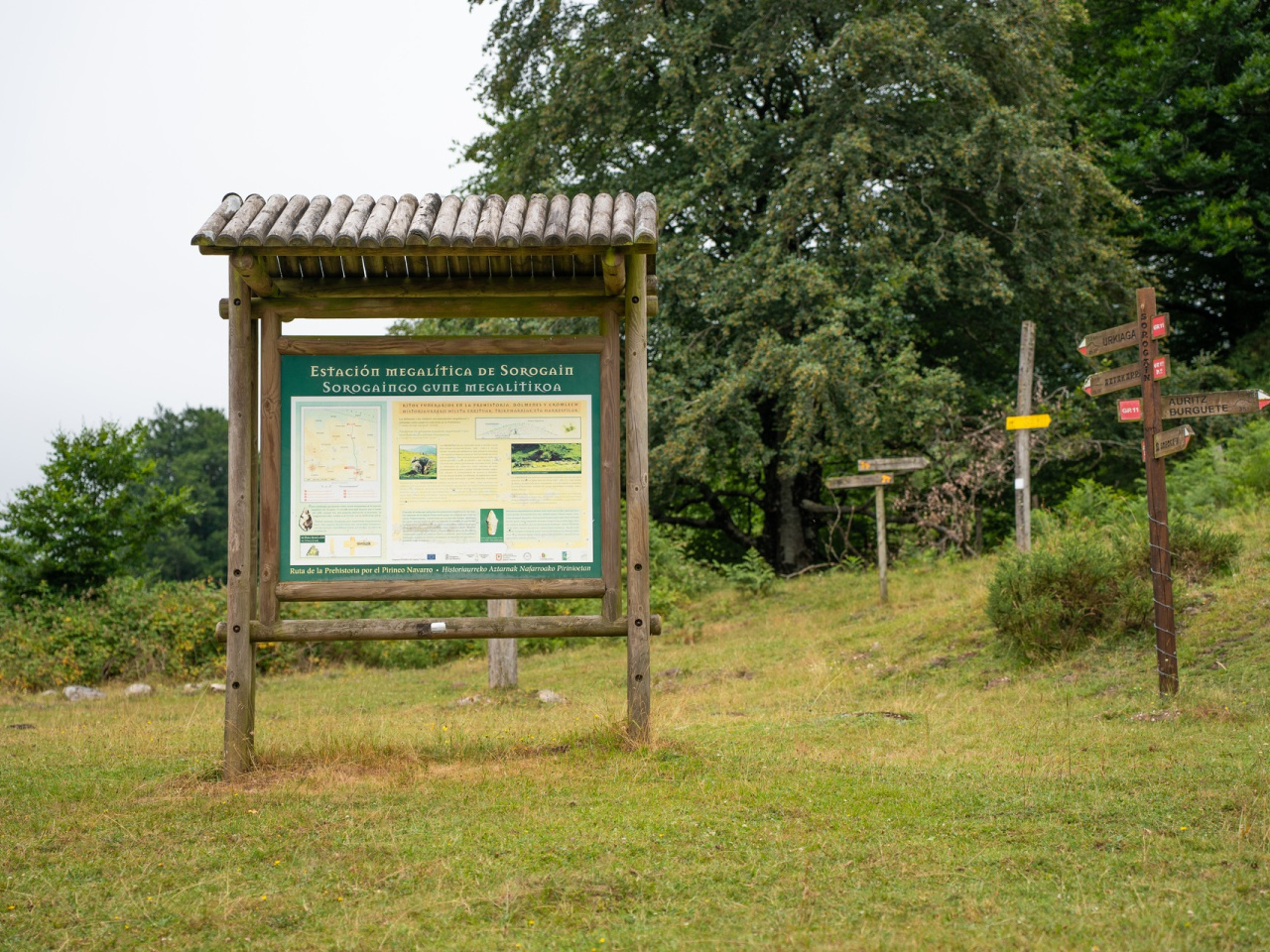
This signposted trail visits several monuments of the Sorogain megalithic site, starting from the Sorogain hostel. The main route runs along the valley floor and includes a small detour at the beginning. The round trip covers approximately 9 km with an elevation gain of 260 m. The dolmens and cromlechs along the path are megalithic monuments (from the Greek mega = large, lithos = stone) used as collective tombs in prehistoric times.
Weather forecast
Urepel
16°CReal feel 16°C
broken clouds
-
Tue
22/0920° /13°
49%
-
Wed
23/0921° /12°
44%
-
Thu
24/0926° /17°
35%